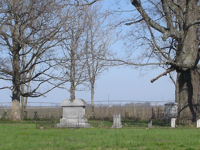
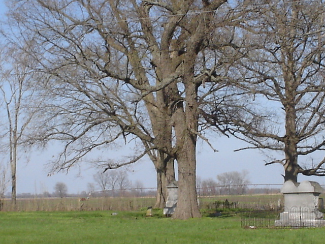
| Memorials | : | 90 |
| Location | : | McMullin, Scott County, USA |
| Coordinate | : | 36.9618988, -89.6183014 |
| Description | : | Locate on Highway 61 north, approximately 8 miles north of Sikeston, in the small community of McMullin in Richland Township. |
frequently asked questions (FAQ):
-
Where is Bennifield Cemetery?
Bennifield Cemetery is located at McMullin, Scott County ,Missouri ,USA.
-
Bennifield Cemetery cemetery's updated grave count on graveviews.com?
90 memorials
-
Where are the coordinates of the Bennifield Cemetery?
Latitude: 36.9618988
Longitude: -89.6183014
Nearby Cemetories:
1. Carpenter Cemetery
McMullin, Scott County, USA
Coordinate: 36.9692001, -89.6292038
2. Hunter Cemetery
Haywood City, Scott County, USA
Coordinate: 36.9914017, -89.6102982
3. Silent Hill Cemetery
Blodgett, Scott County, USA
Coordinate: 36.9607500, -89.5525200
4. Cobb Cemetery
Miner, Scott County, USA
Coordinate: 36.9143982, -89.5785980
5. Buggs Cemetery
Scott County, USA
Coordinate: 37.0113983, -89.6694031
6. Divine Temple Memorial Gardens
Oran, Scott County, USA
Coordinate: 37.0274700, -89.6251300
7. Hart Cemetery
Miner, Scott County, USA
Coordinate: 36.8986015, -89.5721970
8. New Morley Cemetery
Morley, Scott County, USA
Coordinate: 37.0388145, -89.6152496
9. Hunter Memorial Cemetery
Sikeston, Scott County, USA
Coordinate: 36.8844200, -89.5952800
10. Old Morley Cemetery
Morley, Scott County, USA
Coordinate: 37.0475600, -89.6076000
11. Pleasant Valley Cemetery
Sikeston, Scott County, USA
Coordinate: 36.9418983, -89.5132980
12. Blodgett Cemetery
Blodgett, Scott County, USA
Coordinate: 37.0015900, -89.5216500
13. Sunset of Memories Cemetery
Sikeston, Scott County, USA
Coordinate: 36.8731800, -89.6074100
14. Forest Hills Memorial Gardens
Morley, Scott County, USA
Coordinate: 37.0539017, -89.6232986
15. Hickory Grove Cemetery
Morley, Scott County, USA
Coordinate: 37.0386009, -89.5522003
16. Sikeston City Cemetery
Sikeston, Scott County, USA
Coordinate: 36.8696442, -89.5867538
17. Dunn Cemetery
Sikeston, Scott County, USA
Coordinate: 37.0572014, -89.6296997
18. Garden Of Memories Cemetery
Sikeston, Scott County, USA
Coordinate: 36.8650017, -89.6035995
19. Watkins Cemetery
Benton, Scott County, USA
Coordinate: 37.0609900, -89.6116300
20. Bright Prospect Cemetery
Miner, Scott County, USA
Coordinate: 36.8844948, -89.5352707
21. Sikeston Memorial Park
Sikeston, New Madrid County, USA
Coordinate: 36.8630981, -89.5867004
22. Sikes Family Cemetery
Sikeston, New Madrid County, USA
Coordinate: 36.8410380, -89.5697350
23. Warfield Cemetery
Oran, Scott County, USA
Coordinate: 37.0642014, -89.7127991
24. Friends Hill Cemetery
Oran, Scott County, USA
Coordinate: 37.0877991, -89.6408005


