
| Memorials | : | 7 |
| Location | : | Sikeston, Scott County, USA |
| Coordinate | : | 36.8844200, -89.5952800 |
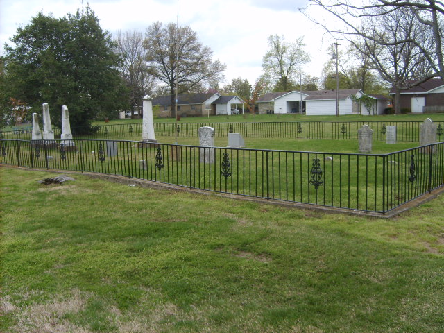
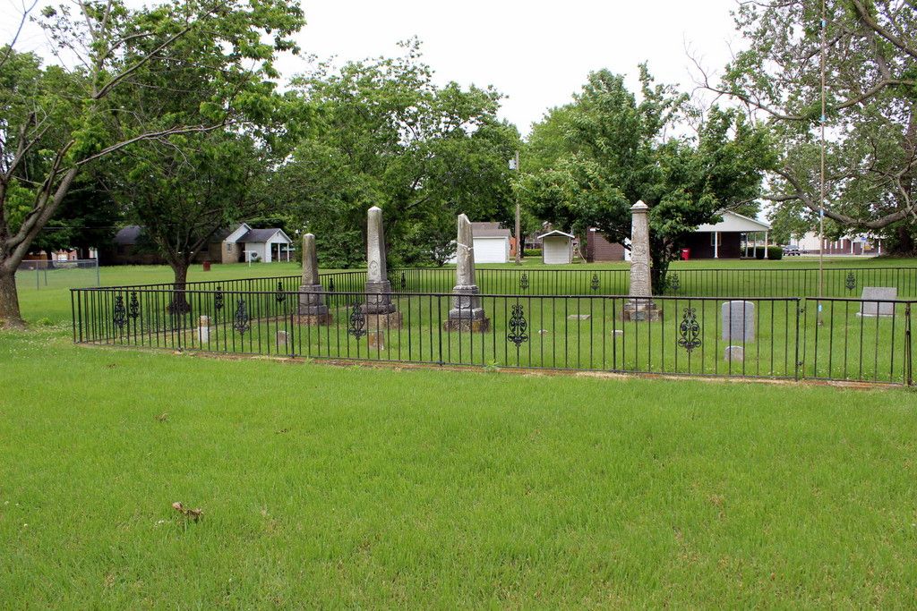
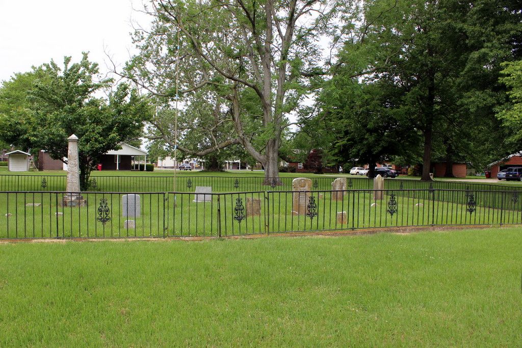
| Description | : | This is one of the oldest cemeteries in Sikeston, Mo. It is located just off of Davis Street right next door to Hunter Memorial Church of the Nazarine. The first burial in this cemetery took place in 1813. The last burial took place there in the 1874. |
frequently asked questions (FAQ):
-
Where is Hunter Memorial Cemetery?
Hunter Memorial Cemetery is located at Sikeston, Scott County ,Missouri ,USA.
-
Hunter Memorial Cemetery cemetery's updated grave count on graveviews.com?
6 memorials
-
Where are the coordinates of the Hunter Memorial Cemetery?
Latitude: 36.8844200
Longitude: -89.5952800
Nearby Cemetories:
1. Sunset of Memories Cemetery
Sikeston, Scott County, USA
Coordinate: 36.8731800, -89.6074100
2. Sikeston City Cemetery
Sikeston, Scott County, USA
Coordinate: 36.8696442, -89.5867538
3. Garden Of Memories Cemetery
Sikeston, Scott County, USA
Coordinate: 36.8650017, -89.6035995
4. Sikeston Memorial Park
Sikeston, New Madrid County, USA
Coordinate: 36.8630981, -89.5867004
5. Hart Cemetery
Miner, Scott County, USA
Coordinate: 36.8986015, -89.5721970
6. Cobb Cemetery
Miner, Scott County, USA
Coordinate: 36.9143982, -89.5785980
7. Sikes Family Cemetery
Sikeston, New Madrid County, USA
Coordinate: 36.8410380, -89.5697350
8. Bright Prospect Cemetery
Miner, Scott County, USA
Coordinate: 36.8844948, -89.5352707
9. Bennifield Cemetery
McMullin, Scott County, USA
Coordinate: 36.9618988, -89.6183014
10. Silent Hill Cemetery
Blodgett, Scott County, USA
Coordinate: 36.9607500, -89.5525200
11. Pleasant Valley Cemetery
Sikeston, Scott County, USA
Coordinate: 36.9418983, -89.5132980
12. Carpenter Cemetery
McMullin, Scott County, USA
Coordinate: 36.9692001, -89.6292038
13. Big Opening Cemetery
New Madrid County, USA
Coordinate: 36.8089500, -89.5247100
14. Hunter Cemetery
Haywood City, Scott County, USA
Coordinate: 36.9914017, -89.6102982
15. Armer Cemetery
East Prairie, Mississippi County, USA
Coordinate: 36.8703003, -89.4608002
16. Dogwood Cemetery
Dogwood, Mississippi County, USA
Coordinate: 36.8231316, -89.4546738
17. Blodgett Cemetery
Blodgett, Scott County, USA
Coordinate: 37.0015900, -89.5216500
18. Matthews Cemetery
Matthews, New Madrid County, USA
Coordinate: 36.7496986, -89.5817032
19. Buggs Cemetery
Scott County, USA
Coordinate: 37.0113983, -89.6694031
20. Divine Temple Memorial Gardens
Oran, Scott County, USA
Coordinate: 37.0274700, -89.6251300
21. Bloomfield Cemetery
New Madrid County, USA
Coordinate: 36.7453003, -89.5382996
22. Noxall Cemetery
New Madrid County, USA
Coordinate: 36.7299995, -89.5802994
23. New Morley Cemetery
Morley, Scott County, USA
Coordinate: 37.0388145, -89.6152496
24. Big Ridge Cemetery
New Madrid County, USA
Coordinate: 36.7375200, -89.6636600