
| Memorials | : | 0 |
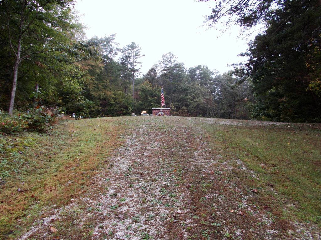
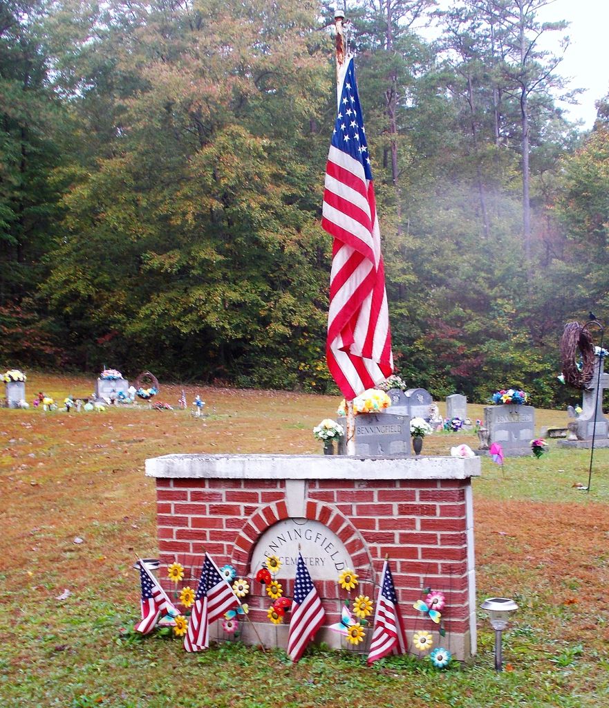
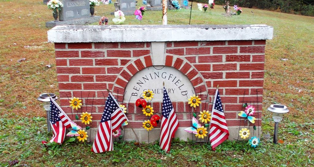
| Location | : | Powell County, USA |
| Coordinate | : | 37.8855553, -83.8861084 |
| Description | : | Directions: From KY 15, at Stanton, KY, take KY 213 north for 2.7 miles, turn left onto Paint Creek Road and go 1.4 miles to cemetery. |
frequently asked questions (FAQ):
-
Where is Benningfield Cemetery?
Benningfield Cemetery is located at Powell County ,Kentucky ,USA.
-
Benningfield Cemetery cemetery's updated grave count on graveviews.com?
0 memorials
-
Where are the coordinates of the Benningfield Cemetery?
Latitude: 37.8855553
Longitude: -83.8861084
Nearby Cemetories:
1. Collins Cemetery
Powell County, USA
Coordinate: 37.8855553, -83.8855591
2. Creech Cemetery
Powell County, USA
Coordinate: 37.8922234, -83.8866653
3. Fouch Cemetery
Powell County, USA
Coordinate: 37.8711128, -83.8852768
4. Dunaway Cemetery
Powell County, USA
Coordinate: 37.8986092, -83.8638916
5. Vaughns Mill Cemetery
Clay City, Powell County, USA
Coordinate: 37.8652992, -83.8989029
6. Faulkner Cemetery
Powell County, USA
Coordinate: 37.8680573, -83.8649979
7. Drake Stephens Cemetery
Powell County, USA
Coordinate: 37.8672218, -83.8605576
8. Brown Cemetery
Powell County, USA
Coordinate: 37.9086113, -83.9166641
9. Holmes Cemetery
Powell County, USA
Coordinate: 37.8930550, -83.9280548
10. Stokley and Curry Cemetery
Clay City, Powell County, USA
Coordinate: 37.8766670, -83.9280548
11. Glover Cemetery
Powell County, USA
Coordinate: 37.8777771, -83.9330597
12. Johnson Cemetery
Powell County, USA
Coordinate: 37.8824997, -83.8366699
13. John Bern Gravesite
Powell County, USA
Coordinate: 37.8549830, -83.9183140
14. Martin-Willoughby Cemetery
Montgomery County, USA
Coordinate: 37.9221992, -83.8644028
15. Ewen Cemetery
Powell County, USA
Coordinate: 37.8622208, -83.8433304
16. Clay City Eaton Cemetery
Clay City, Powell County, USA
Coordinate: 37.8619003, -83.9302979
17. Hall Cemetery
Powell County, USA
Coordinate: 37.8397217, -83.8988876
18. Gayles Trail Cemetery #09
Jeffersonville, Montgomery County, USA
Coordinate: 37.9266670, -83.8569440
19. Clemons Cemetery
Black Creek, Powell County, USA
Coordinate: 37.9011116, -83.9424973
20. West Cemetery
Levee, Montgomery County, USA
Coordinate: 37.9266670, -83.9155560
21. Cooper-Martin Cemetery
Powell County, USA
Coordinate: 37.8405571, -83.9113922
22. Cress Cemetery
Montgomery County, USA
Coordinate: 37.9350000, -83.8911110
23. Hoskins Cemetery
Powell County, USA
Coordinate: 37.8491669, -83.9333344
24. Powells Valley Cemetery
Clay City, Powell County, USA
Coordinate: 37.8657110, -83.9473890