
| Memorials | : | 2 |
| Location | : | Cooper County, USA |
| Coordinate | : | 38.9020200, -93.0408200 |
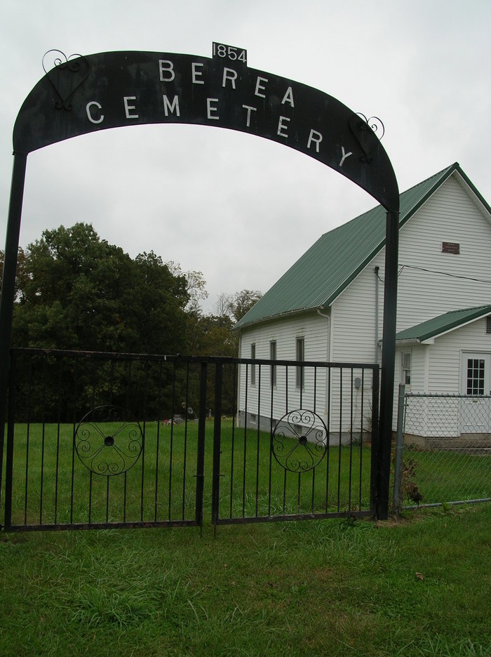
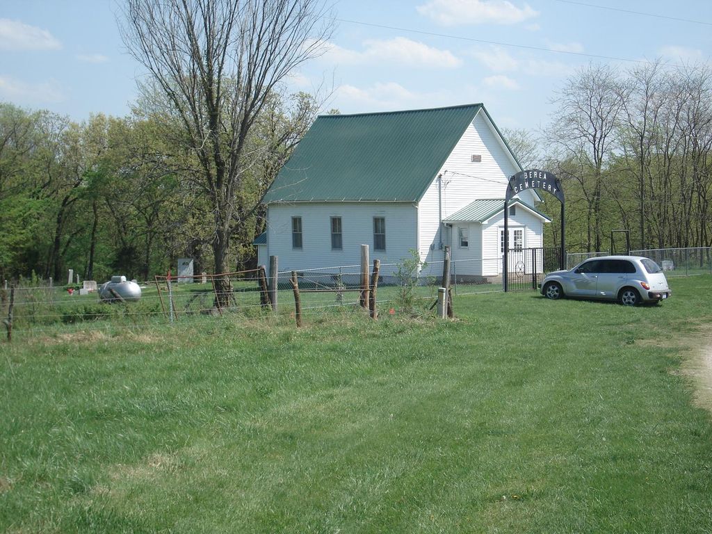
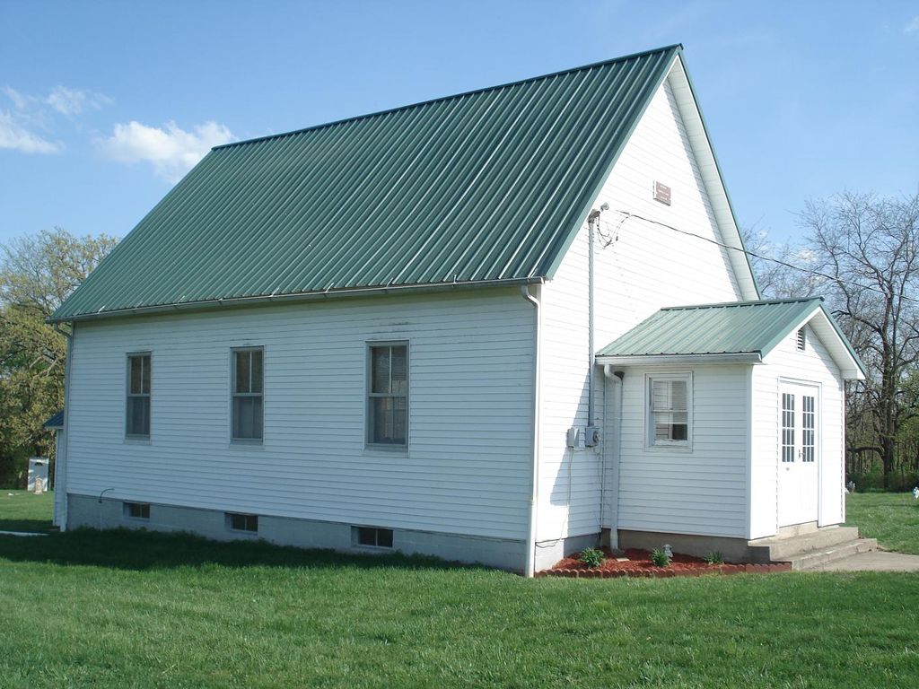
| Description | : | Civil Township: Blackwater Quadrant Map: Nelson General Location: Southwest of Blackwater Congressional Township: Township 48-N; Range 19-W Section: Northeast quarter of the southeast quarter of section 30. Directions: Road Directions: From I-70, at Blackwater exit, take Rt. Z, west for three miles then turn south (left) at Junction AE, and go over I-70 and about four to five miles. The cemetery is visible from the road on the right hand side. Atlas Survey: 1877 Land Atlas – no cemetery symbol nor church symbol on Sappington land. 1915 Land Atlas – school, church, and cemetery symbols on R. Hangard land. 1978 Plat Book – church and cemetery symbols on Charle... Read More |
frequently asked questions (FAQ):
-
Where is Berea Church Cemetery?
Berea Church Cemetery is located at 14577 Z Hwy,Dial Cooper County ,Missouri ,USA.
-
Berea Church Cemetery cemetery's updated grave count on graveviews.com?
2 memorials
-
Where are the coordinates of the Berea Church Cemetery?
Latitude: 38.9020200
Longitude: -93.0408200

Nearby Cemetories:
1. Union Cemetery
Heath Creek Township, Pettis County, USA
Coordinate: 38.8586900, -93.0721900
2. Millers Chapel Cemetery
Heath Creek Township, Pettis County, USA
Coordinate: 38.8951700, -93.1088600
3. Heath Creek Cemetery
Blackwater Township, Saline County, USA
Coordinate: 38.9458535, -93.0921440
4. Peninsula Cemetery
Lamine, Cooper County, USA
Coordinate: 38.9482840, -92.9915830
5. Allison Family Cemetery
Blackwater, Cooper County, USA
Coordinate: 38.9447910, -92.9801270
6. Saint John's Cemetery
Clear Creek, Cooper County, USA
Coordinate: 38.8600660, -92.9772640
7. Salt Fork Cemetery
Blackwater, Cooper County, USA
Coordinate: 38.9670800, -93.0367700
8. Saint Paul Cemetery New
Pilot Grove, Cooper County, USA
Coordinate: 38.8642350, -92.9722930
9. Saint Paul Cemetery Old
Pilot Grove, Cooper County, USA
Coordinate: 38.8631010, -92.9718320
10. Raines Cemetery
Heath Creek Township, Pettis County, USA
Coordinate: 38.9269600, -93.1227000
11. Jenkins Cemetery
Pettis County, USA
Coordinate: 38.8879050, -93.1270310
12. Adams-Sowers Cemetery
Clifton City, Cooper County, USA
Coordinate: 38.8331040, -93.0317850
13. Sowers Cemetery
Cooper County, USA
Coordinate: 38.8330994, -93.0314026
14. Hieronymus Family Cemetery
Longwood, Pettis County, USA
Coordinate: 38.8835890, -93.1375330
15. Potter Cemetery
Clifton City, Cooper County, USA
Coordinate: 38.8135960, -93.0529010
16. Clopton Cemetery
Pettis County, USA
Coordinate: 38.8436012, -93.1286011
17. Hunt Cemetery
Saline County, USA
Coordinate: 38.9470190, -93.1429480
18. Bidstrup Family Cemetery
Clifton City, Cooper County, USA
Coordinate: 38.8057800, -93.0433200
19. Finley Farm Cemetery
Nelson, Saline County, USA
Coordinate: 38.9960980, -93.0789210
20. Longwood Cemetery
Longwood, Pettis County, USA
Coordinate: 38.8973800, -93.1683400
21. Wesley Chapel Cemetery
Pilot Grove, Cooper County, USA
Coordinate: 38.8626750, -92.9235120
22. Nelson Cemetery
Nelson, Saline County, USA
Coordinate: 39.0008011, -93.0214005
23. Ellis Cemetery
Newland, Pettis County, USA
Coordinate: 38.8366400, -93.1410500
24. Cunningham Cemetery
Saline County, USA
Coordinate: 38.9356003, -93.1643982