| Memorials | : | 2 |
| Location | : | Clifton City, Cooper County, USA |
| Coordinate | : | 38.8135960, -93.0529010 |
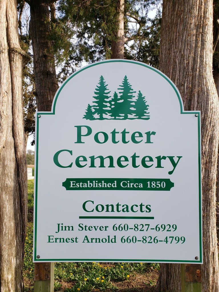
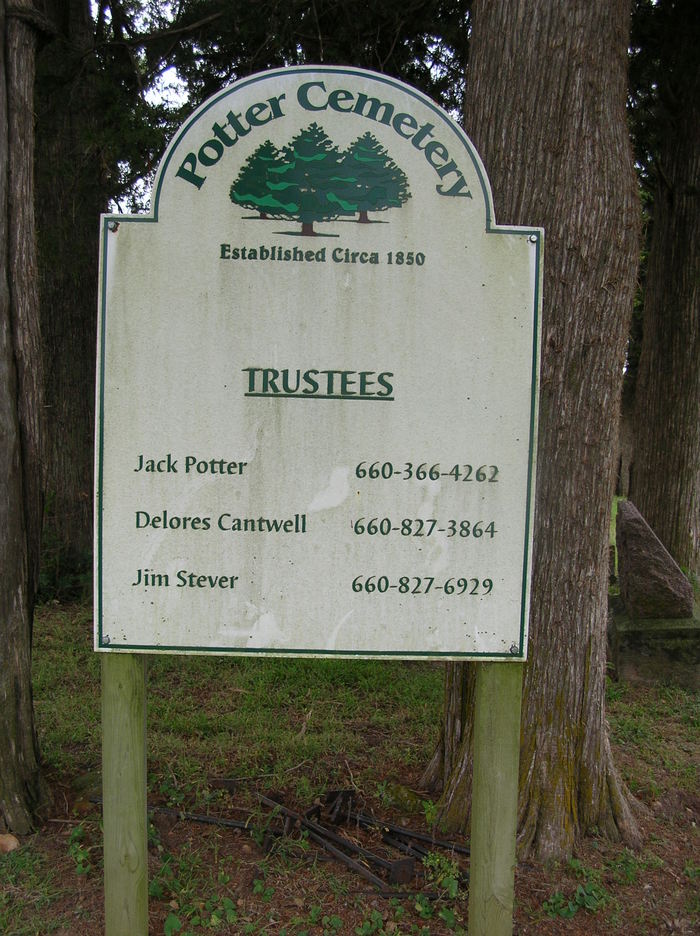
| Description | : | This cemetery is often found listed as Lamine Cemetery on some maps and death certificates. In other cases it is referred to as Potter-DeWitt cemetery. At the website below, you will see that the current marker is Potter Cemetery. The map below does not show county lines. This cemetery is very close to the border between Pettis and Cooper county. It is located in Clear Creek Township in Cooper County. Many of those who are buried here lived in Pettis county in the nearby Heath's Creek Township. Additional information about this cemetery may be found at: http://cooper.mogenweb.org/AltIndex.htm Click on "cemetery" Scroll to Potter cemetery... Read More |
frequently asked questions (FAQ):
-
Where is Potter Cemetery?
Potter Cemetery is located at Clifton City, Cooper County ,Missouri ,USA.
-
Potter Cemetery cemetery's updated grave count on graveviews.com?
2 memorials
-
Where are the coordinates of the Potter Cemetery?
Latitude: 38.8135960
Longitude: -93.0529010
Nearby Cemetories:
1. Bidstrup Family Cemetery
Clifton City, Cooper County, USA
Coordinate: 38.8057800, -93.0433200
2. Irwin Cemetery
Beaman, Pettis County, USA
Coordinate: 38.7957993, -93.0667038
3. Adams-Sowers Cemetery
Clifton City, Cooper County, USA
Coordinate: 38.8331040, -93.0317850
4. Sowers Cemetery
Cooper County, USA
Coordinate: 38.8330994, -93.0314026
5. Saint Josephs Cemetery
Clifton City, Cooper County, USA
Coordinate: 38.7757988, -93.0406036
6. Union Cemetery
Heath Creek Township, Pettis County, USA
Coordinate: 38.8586900, -93.0721900
7. Pleasant Green Methodist Church Old Cemetery
Cooper County, USA
Coordinate: 38.8013480, -92.9911630
8. Pleasant Green Cemetery
Pleasant Green, Cooper County, USA
Coordinate: 38.8016950, -92.9903690
9. Mount Moriah Cemetery
Clifton City, Cooper County, USA
Coordinate: 38.7758710, -93.0035870
10. Lee Cemetery
Beaman, Pettis County, USA
Coordinate: 38.7557983, -93.0836029
11. Clopton Cemetery
Pettis County, USA
Coordinate: 38.8436012, -93.1286011
12. Scott Cemetery
Pettis County, USA
Coordinate: 38.8293991, -93.1367035
13. Wheeler Family Cemetery
Beaman, Pettis County, USA
Coordinate: 38.7533600, -93.1045000
14. Ellis Cemetery
Newland, Pettis County, USA
Coordinate: 38.8366400, -93.1410500
15. Olive Branch Cemetery
Beaman, Pettis County, USA
Coordinate: 38.7792015, -93.1355972
16. Saint John's Cemetery
Clear Creek, Cooper County, USA
Coordinate: 38.8600660, -92.9772640
17. Providence Baptist Church Cemetery
Smithton, Pettis County, USA
Coordinate: 38.7384900, -93.0725900
18. Saint Paul Cemetery Old
Pilot Grove, Cooper County, USA
Coordinate: 38.8631010, -92.9718320
19. Saint Paul Cemetery New
Pilot Grove, Cooper County, USA
Coordinate: 38.8642350, -92.9722930
20. Olive Hill Amish Mennonite Cemetery
Beaman, Pettis County, USA
Coordinate: 38.7705600, -93.1413200
21. Hopewell Cemetery
Newland, Pettis County, USA
Coordinate: 38.8130989, -93.1660995
22. Berea Church Cemetery
Cooper County, USA
Coordinate: 38.9020200, -93.0408200
23. Millers Chapel Cemetery
Heath Creek Township, Pettis County, USA
Coordinate: 38.8951700, -93.1088600
24. Jenkins Cemetery
Pettis County, USA
Coordinate: 38.8879050, -93.1270310


