
| Memorials | : | 1 |
| Location | : | Bergen op Zoom, Bergen op Zoom Municipality, Netherlands |
| Coordinate | : | 51.5021200, 4.3337500 |
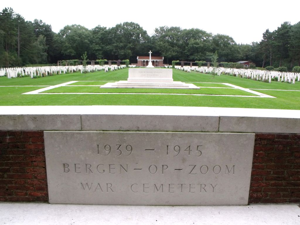
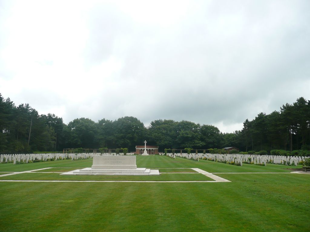
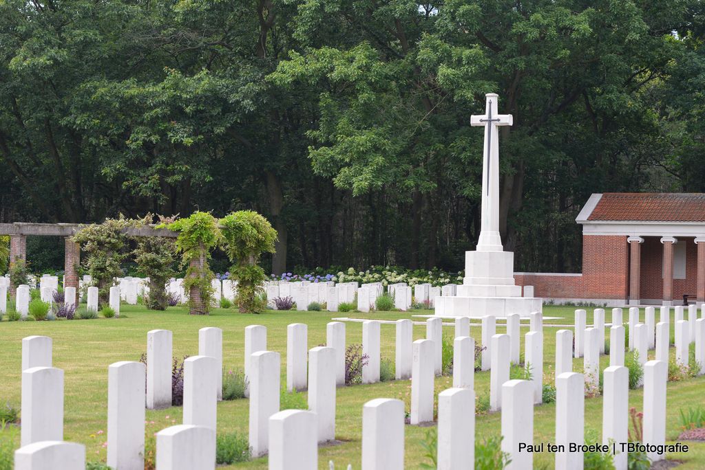
| Description | : | Bergen-op-Zoom is a town in the Dutch province of Noord-Brabant, 40 kilometres north-west of Antwerp (Belgium). Bergen-op-Zoom War Cemetery and Bergen-op-Zoom Canadian War Cemetery are almost next to one another, 3 kilometres east of the town centre, on a road named Ruytershoveweg, which runs parallel with the A58 Bergen-op-Zoom to Roosendaal motorway. The cemeteries can be reached from the motorway by taking the Bergen-op-Zoom exit, which leads on to Rooseveltlaan. At the first crossroads the cemeteries are signposted to the right. There is a further signposted right turn after 1 kilometre, and the cemeteries are 2 kilometres along this road... Read More |
frequently asked questions (FAQ):
-
Where is Bergen-op-Zoom War Cemetery?
Bergen-op-Zoom War Cemetery is located at Bergen op Zoom, Bergen op Zoom Municipality ,Noord-Brabant ,Netherlands.
-
Bergen-op-Zoom War Cemetery cemetery's updated grave count on graveviews.com?
1 memorials
-
Where are the coordinates of the Bergen-op-Zoom War Cemetery?
Latitude: 51.5021200
Longitude: 4.3337500


Nearby Cemetories:
1. Bergen-op-Zoom Canadian War Cemetery
Bergen op Zoom, Bergen op Zoom Municipality, Netherlands
Coordinate: 51.5012500, 4.3288900
2. Bergen-op-Zoom Mastendreef Cemetery
Bergen op Zoom, Bergen op Zoom Municipality, Netherlands
Coordinate: 51.4990660, 4.3258240
3. Bergen Op Zoom Protestant Cemetery
Bergen op Zoom, Bergen op Zoom Municipality, Netherlands
Coordinate: 51.4985130, 4.3104800
4. Sint-Gertrudiskerk
Bergen op Zoom, Bergen op Zoom Municipality, Netherlands
Coordinate: 51.4944526, 4.2878751
5. RK Begraafplaats
Nieuw-Borgvliet, Bergen op Zoom Municipality, Netherlands
Coordinate: 51.4770025, 4.3055294
6. R.K. Begraafplaats O L Vrouw in het Woud
Wouw, Roosendaal Municipality, Netherlands
Coordinate: 51.5223800, 4.3834559
7. Begraafplaats Moerstraten
Moerstraten, Roosendaal Municipality, Netherlands
Coordinate: 51.5412321, 4.3411845
8. R.K.Parochiebegraafplaats Wouwse Plantage
Wouwse Plantage, Roosendaal Municipality, Netherlands
Coordinate: 51.4819133, 4.3909965
9. Begraafplaats Quirinuskerk
Halsteren, Bergen op Zoom Municipality, Netherlands
Coordinate: 51.5274010, 4.2704034
10. Halsteren General Cemetery
Bergen op Zoom, Bergen op Zoom Municipality, Netherlands
Coordinate: 51.5298240, 4.2685190
11. Protestantse Begraafplaats Halsteren
Halsteren, Bergen op Zoom Municipality, Netherlands
Coordinate: 51.5305507, 4.2665591
12. Begraafplaats Lepelstraat
Lepelstraat, Bergen op Zoom Municipality, Netherlands
Coordinate: 51.5492180, 4.2804679
13. Het Oude Woensdrechtse kerkhof
Woensdrecht Municipality, Netherlands
Coordinate: 51.4307391, 4.2992280
14. Rooms Katholieke Begraafplaats Huijbergen
Huijbergen, Woensdrecht Municipality, Netherlands
Coordinate: 51.4325978, 4.3782266
15. Parochiebegraafplaats
Welberg, Steenbergen Municipality, Netherlands
Coordinate: 51.5779088, 4.3310547
16. Begraafplaats Broeders van Huijbergen
Huijbergen, Woensdrecht Municipality, Netherlands
Coordinate: 51.4302142, 4.3778444
17. Algemene Begraafplaats
Tholen Municipality, Netherlands
Coordinate: 51.5379869, 4.2241721
18. RK Begraafplaats OLV Hemelvaart
Hoogerheide, Woensdrecht Municipality, Netherlands
Coordinate: 51.4230801, 4.3216169
19. Protestantse Begraafplaats Kruisland
Kruisland, Steenbergen Municipality, Netherlands
Coordinate: 51.5687517, 4.4081460
20. Steenbergen-En-Kruisland Churchyard
Kruisland, Steenbergen Municipality, Netherlands
Coordinate: 51.5702921, 4.4061697
21. Rooms Katholieke Begraafplaats
Nispen, Roosendaal Municipality, Netherlands
Coordinate: 51.4826245, 4.4629658
22. Algemene R.K. Begraafplaats
Steenbergen, Steenbergen Municipality, Netherlands
Coordinate: 51.5876065, 4.3286744
23. Protestantse begraafplaats
Steenbergen Municipality, Netherlands
Coordinate: 51.5879512, 4.3221116
24. Steenbergen-En-Kruisland Churchyard
Steenbergen, Steenbergen Municipality, Netherlands
Coordinate: 51.5883500, 4.3301400