
| Memorials | : | 0 |
| Location | : | Steenbergen Municipality, Netherlands |
| Coordinate | : | 51.5879512, 4.3221116 |
frequently asked questions (FAQ):
-
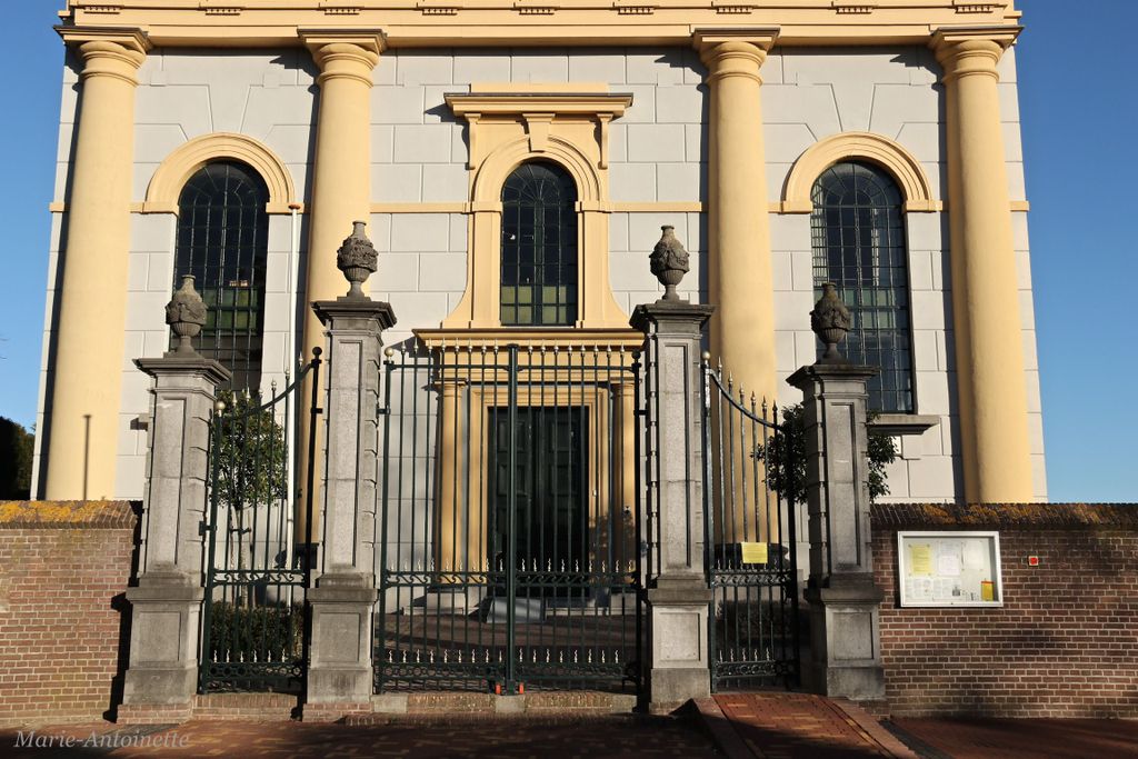
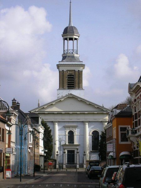
Where is Protestantse begraafplaats?
Protestantse begraafplaats is located at Kerkplein 7 Steenbergen Municipality ,Noord-Brabant ,Netherlands.
-
Protestantse begraafplaats cemetery's updated grave count on graveviews.com?
0 memorials
-
Where are the coordinates of the Protestantse begraafplaats?
Latitude: 51.5879512
Longitude: 4.3221116
Nearby Cemetories:
1. Algemene R.K. Begraafplaats
Steenbergen, Steenbergen Municipality, Netherlands
Coordinate: 51.5876065, 4.3286744
2. Steenbergen-En-Kruisland Churchyard
Steenbergen, Steenbergen Municipality, Netherlands
Coordinate: 51.5883500, 4.3301400
3. Parochiebegraafplaats
Welberg, Steenbergen Municipality, Netherlands
Coordinate: 51.5779088, 4.3310547
4. Rooms Katholieke Begraafplaats de Heen
De Heen, Steenbergen Municipality, Netherlands
Coordinate: 51.6027879, 4.2729201
5. Begraafplaats Lepelstraat
Lepelstraat, Bergen op Zoom Municipality, Netherlands
Coordinate: 51.5492180, 4.2804679
6. Begraafplaats Moerstraten
Moerstraten, Roosendaal Municipality, Netherlands
Coordinate: 51.5412321, 4.3411845
7. Steenbergen-En-Kruisland Churchyard
Kruisland, Steenbergen Municipality, Netherlands
Coordinate: 51.5702921, 4.4061697
8. Protestantse Begraafplaats Kruisland
Kruisland, Steenbergen Municipality, Netherlands
Coordinate: 51.5687517, 4.4081460
9. Kerkhof Rooms Katholieke kerk Nieuw-Vossemeer
Nieuw-Vossemeer, Steenbergen Municipality, Netherlands
Coordinate: 51.5874280, 4.2160028
10. Protestantse Begraafplaats Halsteren
Halsteren, Bergen op Zoom Municipality, Netherlands
Coordinate: 51.5305507, 4.2665591
11. Halsteren General Cemetery
Bergen op Zoom, Bergen op Zoom Municipality, Netherlands
Coordinate: 51.5298240, 4.2685190
12. Begraafplaats Quirinuskerk
Halsteren, Bergen op Zoom Municipality, Netherlands
Coordinate: 51.5274010, 4.2704034
13. R.K. Begraafplaats O L Vrouw in het Woud
Wouw, Roosendaal Municipality, Netherlands
Coordinate: 51.5223800, 4.3834559
14. Algemene Begraafplaats
Tholen Municipality, Netherlands
Coordinate: 51.5379869, 4.2241721
15. Stampersgat Roman Catholic Cemetery
Stampersgat, Halderberge Municipality, Netherlands
Coordinate: 51.6141200, 4.4450400
16. Bergen-op-Zoom War Cemetery
Bergen op Zoom, Bergen op Zoom Municipality, Netherlands
Coordinate: 51.5021200, 4.3337500
17. Bergen-op-Zoom Canadian War Cemetery
Bergen op Zoom, Bergen op Zoom Municipality, Netherlands
Coordinate: 51.5012500, 4.3288900
18. R.K.Begraafplaats Laurentius
Oud Gastel, Halderberge Municipality, Netherlands
Coordinate: 51.5869694, 4.4628189
19. Bergen-op-Zoom Mastendreef Cemetery
Bergen op Zoom, Bergen op Zoom Municipality, Netherlands
Coordinate: 51.4990660, 4.3258240
20. Bergen Op Zoom Protestant Cemetery
Bergen op Zoom, Bergen op Zoom Municipality, Netherlands
Coordinate: 51.4985130, 4.3104800
21. Protestantse Begraafplaats
Oud Gastel, Halderberge Municipality, Netherlands
Coordinate: 51.5841651, 4.4683994
22. Sint-Gertrudiskerk
Bergen op Zoom, Bergen op Zoom Municipality, Netherlands
Coordinate: 51.4944526, 4.2878751
23. Fijnaart-en-Heiningen Roman Catholic Cemetery
Fijnaart, Moerdijk Municipality, Netherlands
Coordinate: 51.6368300, 4.4641900
24. Oude begraafplaats Sint Philipsland
Sint Philipsland, Tholen Municipality, Netherlands
Coordinate: 51.6196092, 4.1670848