
| Memorials | : | 1 |
| Location | : | Fairhaven, DeSoto County, USA |
| Coordinate | : | 34.9148250, -89.7953150 |
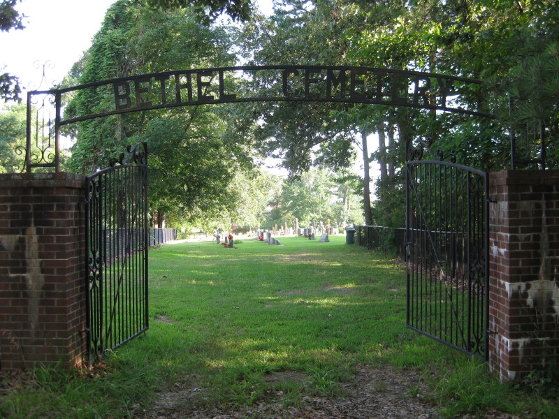
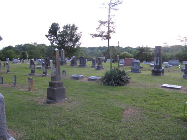
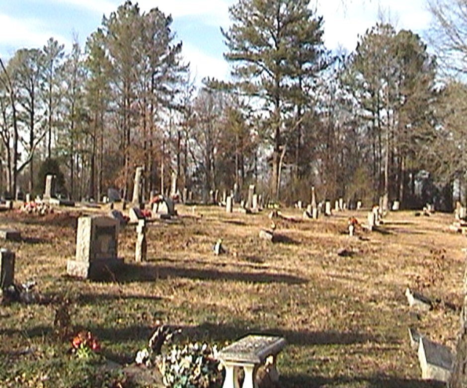
| Description | : | From the intersection of Bethel Rd. & US-78. in Fairhaven, travel south on Bethel Rd. for 0.8 mi., passing the Bethel Presbyterian Church on the east; turning west (right) into this early, active 'deeded' cemetery, as notated on USGS topo maps. There is another older & non-maintained entrance drive, that passes under an old iron "Bethel Cemetery" sign, leading directly from the church parking lot. However, this gateway appears normally locked. |
frequently asked questions (FAQ):
-
Where is Bethel Cemetery?
Bethel Cemetery is located at 3724 Bethel Road Fairhaven, DeSoto County ,Mississippi ,USA.
-
Bethel Cemetery cemetery's updated grave count on graveviews.com?
1 memorials
-
Where are the coordinates of the Bethel Cemetery?
Latitude: 34.9148250
Longitude: -89.7953150
Nearby Cemetories:
1. Cox Cemetery
Olive Branch, DeSoto County, USA
Coordinate: 34.9039900, -89.7978960
2. Botts Cemetery
Olive Branch, DeSoto County, USA
Coordinate: 34.9395190, -89.7783560
3. Wiggins Church Cemetery
Olive Branch, DeSoto County, USA
Coordinate: 34.8891260, -89.8299690
4. Lebanon Cemetery
Olive Branch, DeSoto County, USA
Coordinate: 34.8891120, -89.8355590
5. Kelsey Cemetery
Olive Branch, DeSoto County, USA
Coordinate: 34.8936430, -89.8399090
6. Beal - Long - Cherry Cemetery
Olive Branch, DeSoto County, USA
Coordinate: 34.8742540, -89.8170730
7. Blocker Cemetery
Olive Branch, DeSoto County, USA
Coordinate: 34.9551680, -89.8226700
8. Bass Family Cemetery
Olive Branch, DeSoto County, USA
Coordinate: 34.9398520, -89.8456470
9. Fairview Cemetery
DeSoto County, USA
Coordinate: 34.8753700, -89.7568360
10. Hannaford Cemetery
Olive Branch, DeSoto County, USA
Coordinate: 34.8661980, -89.8242320
11. Haynie Cemetery
Handy Corner, DeSoto County, USA
Coordinate: 34.9693280, -89.7706360
12. Corinth Cemetery
Olive Branch, DeSoto County, USA
Coordinate: 34.8931980, -89.7280330
13. Cowan Cemetery
Olive Branch, DeSoto County, USA
Coordinate: 34.9735140, -89.8054940
14. Payne Cemetery
Olive Branch, DeSoto County, USA
Coordinate: 34.9625500, -89.8413910
15. Herrington Cemetery
Fairhaven, DeSoto County, USA
Coordinate: 34.8558860, -89.7697240
16. Brigance Family Cemetery
Olive Branch, DeSoto County, USA
Coordinate: 34.9596530, -89.7398940
17. Center Chapel Cemetery
Shelby County, USA
Coordinate: 34.9590000, -89.8580000
18. Boggan Cemetery
Lewisburg, DeSoto County, USA
Coordinate: 34.8603280, -89.8496000
19. New Jeremiah #2 Memorial Garden
Pleasant Hill (Frees Corners), DeSoto County, USA
Coordinate: 34.9182330, -89.8841640
20. Whites Chapel Cemetery
Cockrum, DeSoto County, USA
Coordinate: 34.8422560, -89.7773960
21. McGehee Cemetery
Olive Branch, DeSoto County, USA
Coordinate: 34.9646350, -89.7273550
22. Hopewell Baptist Church Cemetery
Cockrum, DeSoto County, USA
Coordinate: 34.8413020, -89.7770940
23. Pleasant Hill Community Cemetery
Pleasant Hill, DeSoto County, USA
Coordinate: 34.9184340, -89.8873670
24. Castleberry Cemetery
Olive Branch, DeSoto County, USA
Coordinate: 34.9881100, -89.7714840