
| Memorials | : | 4 |
| Location | : | Range, Madison County, USA |
| Coordinate | : | 39.7303009, -83.3906021 |
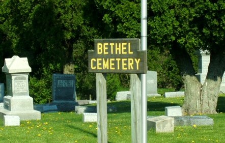
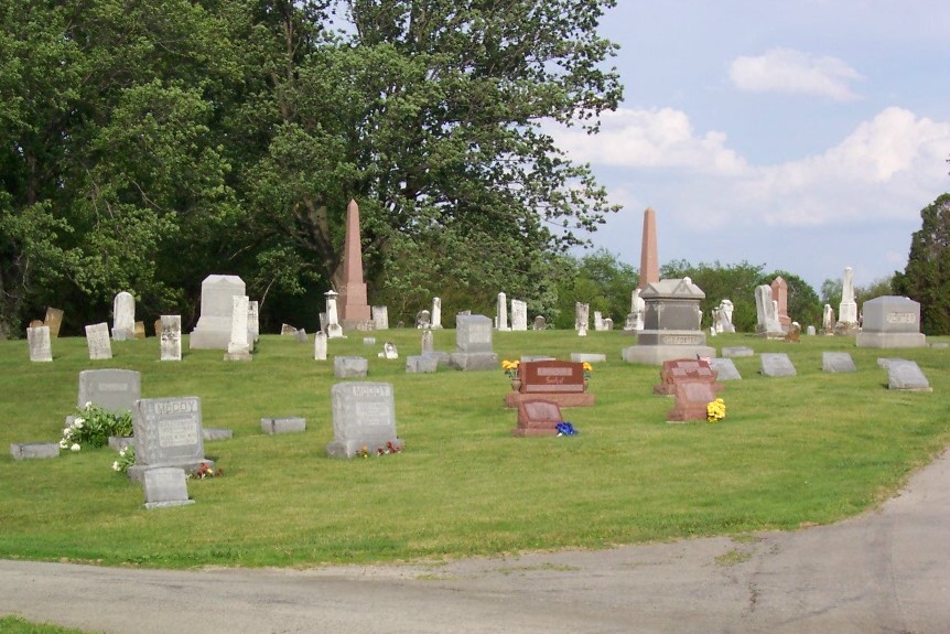
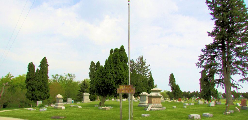
| Description | : | The cemetery is located on the south side of Ohio State Route 323 about 0.1 miles east of its intersection with Yankeetown-Chenoweth Road (County Road 9). The cemetery is located in Range Township, Madison County, Ohio, and is # 7161 (Bethel Cemetery / Howsman Cemetery / Houseman Cemetery) in “Ohio Cemeteries 1803-2003”, compiled by the Ohio Genealogical Society. The cemetery is registered with the Ohio Division of Real Estate and Professional Licensing (ODRE) as Guy Cemetery with registration license number CGR.2016000951. The U.S. Geological Survey (USGS) Geographic Names Information System (GNIS) feature ID for the cemetery is 1037908... Read More |
frequently asked questions (FAQ):
-
Where is Bethel Cemetery?
Bethel Cemetery is located at Ohio State Route 323 Range, Madison County ,Ohio , 43143USA.
-
Bethel Cemetery cemetery's updated grave count on graveviews.com?
2 memorials
-
Where are the coordinates of the Bethel Cemetery?
Latitude: 39.7303009
Longitude: -83.3906021
Nearby Cemetories:
1. Johnston-McClimans Cemetery
London, Madison County, USA
Coordinate: 39.7672005, -83.3831024
2. Baldwin Cemetery
Madison County, USA
Coordinate: 39.7008018, -83.3574982
3. Corson Cemetery
Midway, Madison County, USA
Coordinate: 39.7597008, -83.4496994
4. Shepherd Cemetery
Madison County, USA
Coordinate: 39.7771988, -83.4263992
5. Cook Cemetery
Madison Township, Fayette County, USA
Coordinate: 39.6897100, -83.3401320
6. Range Cemetery
Midway, Madison County, USA
Coordinate: 39.7318993, -83.4649963
7. Counts Cemetery
Midway, Madison County, USA
Coordinate: 39.7158012, -83.4681015
8. Old Johnston Cemetery
Range, Madison County, USA
Coordinate: 39.7907982, -83.4128036
9. Union Chapel Cemetery
Paint Township, Fayette County, USA
Coordinate: 39.6789017, -83.4505997
10. Vesey Cemetery
Paint Township, Fayette County, USA
Coordinate: 39.6568985, -83.4336014
11. Graham Cemetery
Mount Sterling, Madison County, USA
Coordinate: 39.7817001, -83.3080978
12. Timmons Cemetery
Madison County, USA
Coordinate: 39.8175011, -83.3388977
13. Timmons Cemetery
Chrisman, Madison County, USA
Coordinate: 39.8175608, -83.3388057
14. Madison Mills Cemetery
Madison Mills, Fayette County, USA
Coordinate: 39.6458015, -83.3266983
15. Methodist Church Cemetery
Mount Sterling, Madison County, USA
Coordinate: 39.7178400, -83.2635300
16. Bostwick-Loofbourrow Cemetery
Madison Township, Fayette County, USA
Coordinate: 39.6926100, -83.2709680
17. Kilgore Cemetery
Madison County, USA
Coordinate: 39.8161011, -83.4636002
18. Sifrit Cemetery
Madison County, USA
Coordinate: 39.8163986, -83.4721985
19. Pleasant Cemetery
Mount Sterling, Madison County, USA
Coordinate: 39.7393990, -83.2510986
20. Leavell Cemetery
Madison Township, Fayette County, USA
Coordinate: 39.6557999, -83.2814026
21. Whiteman Cemetery
Madison County, USA
Coordinate: 39.7188988, -83.5361023
22. Tanner Cemetery
Five Points, Pickaway County, USA
Coordinate: 39.7275611, -83.2438032
23. Dennison Chapel Cemetery
Mount Sterling, Madison County, USA
Coordinate: 39.8153000, -83.2932968
24. Palestine Church Cemetery
Pickaway County, USA
Coordinate: 39.7431260, -83.2430670