
| Memorials | : | 6 |
| Location | : | Warnock, Belmont County, USA |
| Coordinate | : | 39.9954680, -80.9755900 |
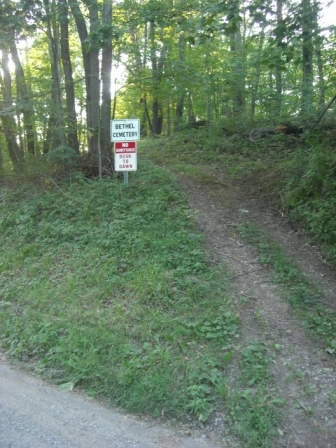
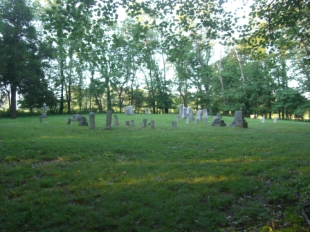
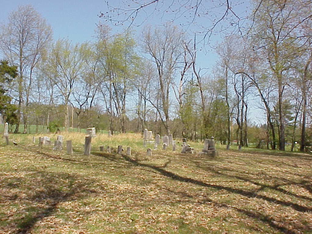
| Description | : | This was originally Bethel Methodist Cemetery near Centerville, Ohio. Samuel and Eleanor (Randall) Lucas deeded the land for the church and cemetery on February 22, 1834 (See records in St Clairsville) The cemetery is located in Smith Township, Belmont County, Ohio, and is # 957 (Bethel Methodist Cemetery / Old Bethel Cemetery) in “Ohio Cemeteries 1803-2003”, compiled by the Ohio Genealogical Society. This cemetery is identified as reference number # SM-05 (Old Bethel Cemetery / Bethel Cemetery) in “Your Guide to the Cemeteries of Belmont County, Ohio” published by Cumberland Trail Genealogical Society, January 2005. |
frequently asked questions (FAQ):
-
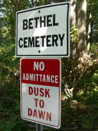
Where is Bethel Cemetery?
Bethel Cemetery is located at Hart Road (Township Road 231) Warnock, Belmont County ,Ohio , 43718USA.
-
Bethel Cemetery cemetery's updated grave count on graveviews.com?
6 memorials
-
Where are the coordinates of the Bethel Cemetery?
Latitude: 39.9954680
Longitude: -80.9755900
Nearby Cemetories:
1. Walters Cemetery
Warnock, Belmont County, USA
Coordinate: 39.9961110, -80.9769440
2. Wesley Chapel Cemetery
Centerville, Belmont County, USA
Coordinate: 40.0074997, -80.9981003
3. Centerville Cemetery
Centerville, Belmont County, USA
Coordinate: 39.9756012, -80.9561005
4. Scatterday Cemetery
Centerville, Belmont County, USA
Coordinate: 39.9706001, -80.9375000
5. Chestnut Level Church Cemetery
Belmont, Belmont County, USA
Coordinate: 39.9880981, -81.0289001
6. Warnock Cemetery
Warnock, Belmont County, USA
Coordinate: 40.0205994, -80.9293976
7. McGaughey Family Cemetery
Smith Township, Belmont County, USA
Coordinate: 39.9863280, -80.9160000
8. Bend Fork Christian Church Cemetery
Centerville, Belmont County, USA
Coordinate: 39.9441986, -80.9955978
9. Belmont Cemetery
Belmont, Belmont County, USA
Coordinate: 40.0281263, -81.0367659
10. Jesse Taylor Cemetery
Jacobsburg, Belmont County, USA
Coordinate: 39.9555560, -80.9200000
11. Henry Neff Family Cemetery
Jacobsburg, Belmont County, USA
Coordinate: 39.9887000, -80.8985100
12. Belmont Methodist Protestant Church Cemetery
Belmont, Belmont County, USA
Coordinate: 40.0304820, -81.0400790
13. East Richland Cemetery
Richland Township, Belmont County, USA
Coordinate: 40.0555992, -80.9561005
14. Burns Family Cemetery
Bethesda, Belmont County, USA
Coordinate: 40.0123670, -81.0568450
15. Mount Zion Methodist Episcopal Church Cemetery
Bethesda, Belmont County, USA
Coordinate: 39.9514008, -81.0391998
16. Jacobsburg Cemetery
Jacobsburg, Belmont County, USA
Coordinate: 39.9603004, -80.9030991
17. Old Bethesda ME Cemetery
Bethesda, Belmont County, USA
Coordinate: 39.9991400, -81.0655500
18. Ramsay Cemetery # 2
Jacobsburg, Belmont County, USA
Coordinate: 39.9492130, -80.9070030
19. Dutch Hill Cemetery
Saint Clairsville, Belmont County, USA
Coordinate: 40.0436080, -80.9091680
20. Glencoe Cemetery
Glencoe, Belmont County, USA
Coordinate: 40.0078011, -80.8850021
21. Plainfield Cemetery
Lloydsville, Belmont County, USA
Coordinate: 40.0643997, -81.0033035
22. Purdy Cemetery
Lloydsville, Belmont County, USA
Coordinate: 40.0644440, -81.0033360
23. Bethesda Cemetery
Bethesda, Belmont County, USA
Coordinate: 40.0144005, -81.0671997
24. Ault-Warren Cemetery
Glencoe, Belmont County, USA
Coordinate: 40.0366510, -80.8930420