
| Memorials | : | 20 |
| Location | : | Santa Maria, Santa Barbara County, USA |
| Coordinate | : | 34.9415700, -120.4279900 |
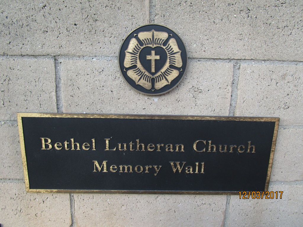
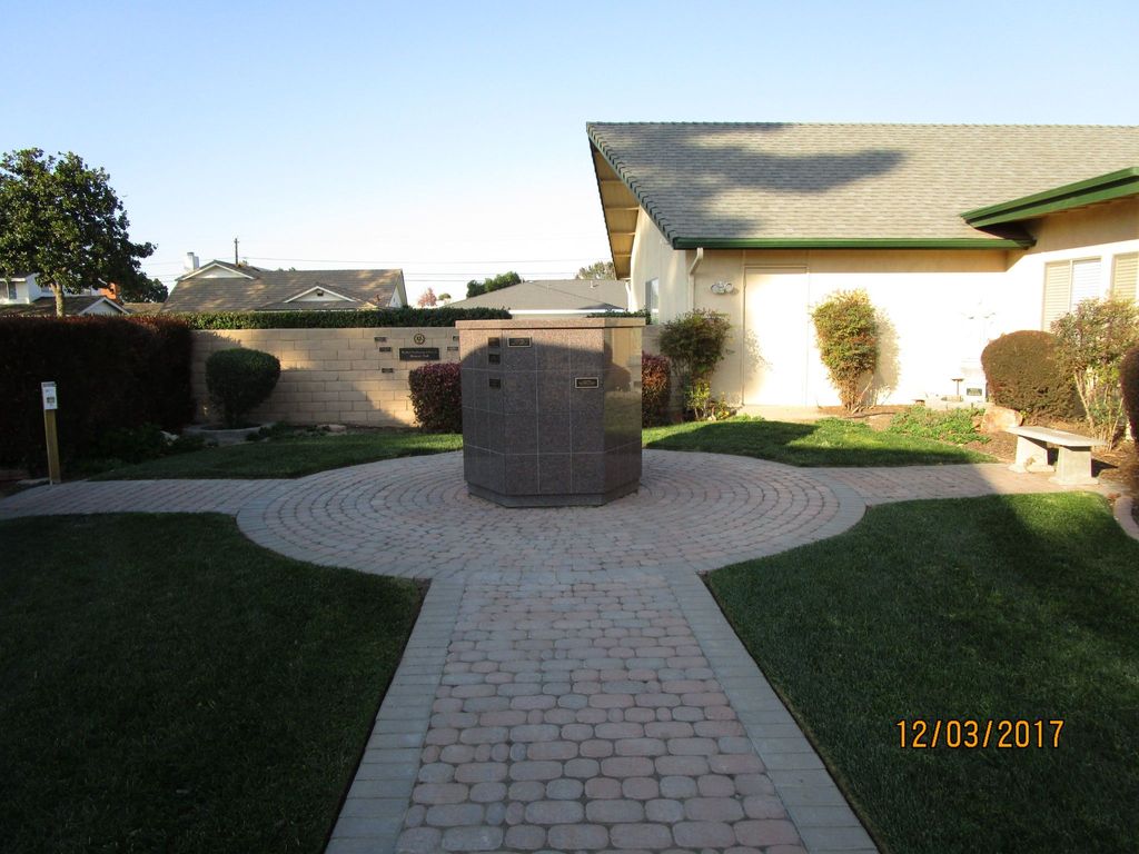
| Description | : | Columbarium |
frequently asked questions (FAQ):
-
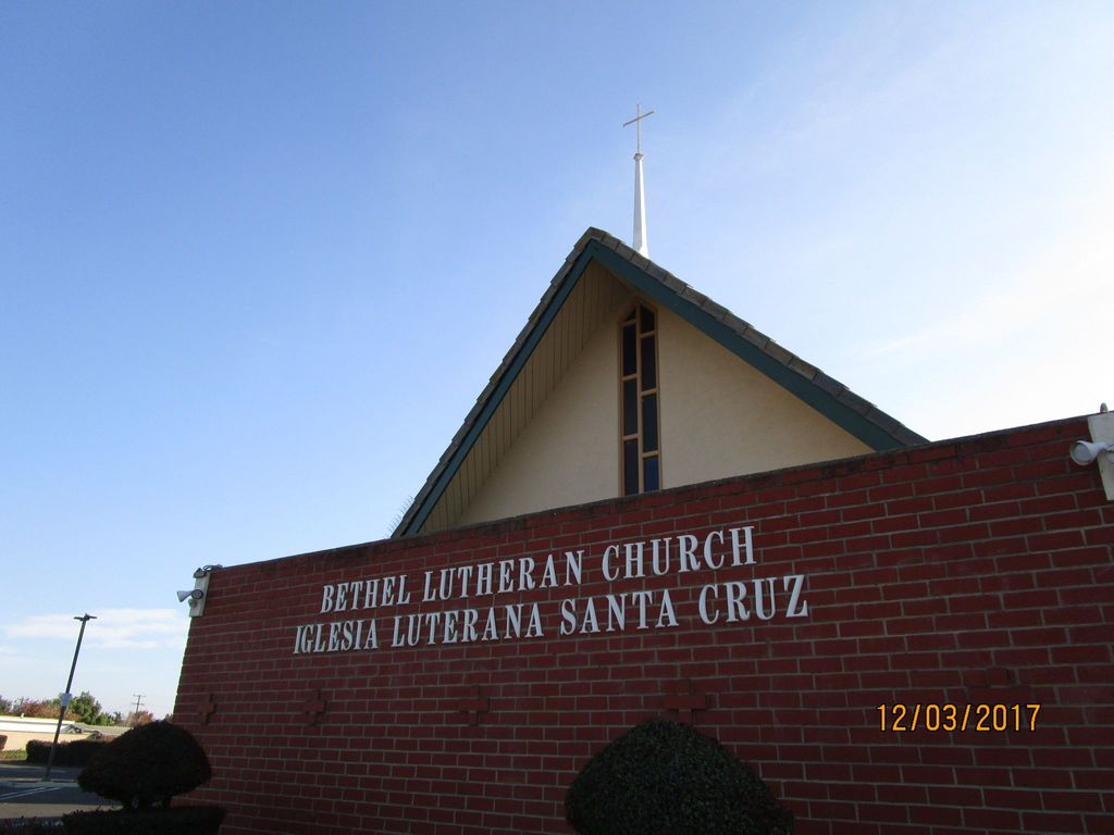
Where is Bethel Lutheran Church Resurrection Garden?
Bethel Lutheran Church Resurrection Garden is located at 624 E. Camino Collegio Santa Maria, Santa Barbara County ,California , 93454USA.
-
Bethel Lutheran Church Resurrection Garden cemetery's updated grave count on graveviews.com?
20 memorials
-
Where are the coordinates of the Bethel Lutheran Church Resurrection Garden?
Latitude: 34.9415700
Longitude: -120.4279900
Nearby Cemetories:
1. Santa Maria Cemetery District
Santa Maria, Santa Barbara County, USA
Coordinate: 34.9369011, -120.4253006
2. Dudley-Hoffman Memory Gardens Columbarium
Santa Maria, Santa Barbara County, USA
Coordinate: 34.9388480, -120.4215260
3. Pine Grove Cemetery
Santa Barbara County, USA
Coordinate: 34.8550430, -120.4185950
4. Guadalupe Cemetery
Guadalupe, Santa Barbara County, USA
Coordinate: 34.9582863, -120.5741501
5. Our Lady of Guadalupe Catholic Cemetery
Guadalupe, Santa Barbara County, USA
Coordinate: 34.9284800, -120.5911300
6. Saint Joseph of Cupertino Province Cemetery
San Luis Obispo County, USA
Coordinate: 35.0718803, -120.5263519
7. Ontiveros Cemetery
Los Alamos, Santa Barbara County, USA
Coordinate: 34.8897000, -120.2334900
8. San Ramon Chapel Cemetery
Santa Barbara County, USA
Coordinate: 34.8478012, -120.2394028
9. Guillermo Eduardo de la Guerra Burial Site
Los Alamos, Santa Barbara County, USA
Coordinate: 34.7500000, -120.3500000
10. Saint John's Lutheran Church Columbarium
Arroyo Grande, San Luis Obispo County, USA
Coordinate: 35.1032070, -120.5808630
11. Saint Barnabas Memorial Garden
Arroyo Grande, San Luis Obispo County, USA
Coordinate: 35.1179910, -120.5706380
12. Halcyon Cemetery
Halcyon, San Luis Obispo County, USA
Coordinate: 35.1062000, -120.5994990
13. Arroyo Grande Cemetery
Arroyo Grande, San Luis Obispo County, USA
Coordinate: 35.1230011, -120.5930634
14. Saint Patrick's Cemetery
Arroyo Grande, San Luis Obispo County, USA
Coordinate: 35.1292740, -120.6002950
15. Los Alamos Cemetery
Los Alamos, Santa Barbara County, USA
Coordinate: 34.7327995, -120.2807999
16. Saint Mary's Episcopal Memory Garden
Lompoc, Santa Barbara County, USA
Coordinate: 34.6807100, -120.4533500
17. Mission La Purisima Concepcion Cemetery
Lompoc, Santa Barbara County, USA
Coordinate: 34.6716652, -120.4216690
18. Lompoc Evergreen Cemetery
Lompoc, Santa Barbara County, USA
Coordinate: 34.6296997, -120.4477997
19. Carroll-McGovern Cemetery
Pozo, San Luis Obispo County, USA
Coordinate: 35.3069100, -120.3598100
20. Saint Mark's-in-the-Valley Church Mem. Garden
Los Olivos, Santa Barbara County, USA
Coordinate: 34.6662590, -120.1177210
21. San Luis Cemetery
San Luis Obispo, San Luis Obispo County, USA
Coordinate: 35.2644192, -120.6712830
22. Old Mission Cemetery
San Luis Obispo, San Luis Obispo County, USA
Coordinate: 35.2670660, -120.6692150
23. Mission San Luis Obispo Cemetery
San Luis Obispo, San Luis Obispo County, USA
Coordinate: 35.2806600, -120.6645200
24. Oak Hill Cemetery
Ballard, Santa Barbara County, USA
Coordinate: 34.6324997, -120.1106033