
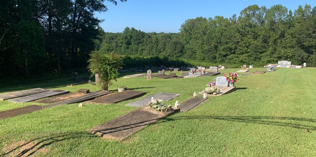
| Memorials | : | 0 |
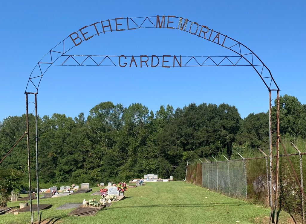
| Location | : | Ashland, Clay County, USA |
| Coordinate | : | 33.2682991, -85.8497009 |
frequently asked questions (FAQ):
-
Where is Bethel Memorial Garden Cemetery?
Bethel Memorial Garden Cemetery is located at 460 High Pine Road Ashland, Clay County ,Alabama , 36251USA.
-
Bethel Memorial Garden Cemetery cemetery's updated grave count on graveviews.com?
0 memorials
-
Where are the coordinates of the Bethel Memorial Garden Cemetery?
Latitude: 33.2682991
Longitude: -85.8497009


Nearby Cemetories:
1. Old Field Cemetery
Ashland, Clay County, USA
Coordinate: 33.2742004, -85.8644028
2. Old Ashland Cemetery
Ashland, Clay County, USA
Coordinate: 33.2721820, -85.8332440
3. Ashland City Cemetery
Ashland, Clay County, USA
Coordinate: 33.2778015, -85.8332977
4. Liberty Baptist Church Cemetery
Ashland, Clay County, USA
Coordinate: 33.2717018, -85.8914032
5. Hassell Cemetery
Ashland, Clay County, USA
Coordinate: 33.3058014, -85.8411026
6. Old Noles Cemetery
Clay County, USA
Coordinate: 33.2921982, -85.8927994
7. Mount Zion Cemetery
Ashland, Clay County, USA
Coordinate: 33.2390870, -85.8887200
8. Clay County Memory Gardens
Ashland, Clay County, USA
Coordinate: 33.2825012, -85.7975006
9. Old Liberty Hill Cemetery
Clay County, USA
Coordinate: 33.2230988, -85.8632965
10. Wrights Chapel Cemetery
Ashland, Clay County, USA
Coordinate: 33.2398380, -85.7980170
11. Lystra Baptist Church Cemetery
Ashland, Clay County, USA
Coordinate: 33.2327995, -85.7996979
12. Macedonia Primitive Baptist Church Cemetery
Lineville, Clay County, USA
Coordinate: 33.3027938, -85.7985677
13. Olive Branch Baptist Cemetery
Lineville, Clay County, USA
Coordinate: 33.3078003, -85.7966995
14. Fairview Cemetery
Ashland, Clay County, USA
Coordinate: 33.2364006, -85.9171982
15. Fairview Christian Church Cemetery
Ashland, Clay County, USA
Coordinate: 33.2353130, -85.9165190
16. New Prospect Baptist Church Cemetery
Ashland, Clay County, USA
Coordinate: 33.2038990, -85.8268970
17. Big Springs Baptist Church Cemetery
Clay County, USA
Coordinate: 33.2052994, -85.8783035
18. Poplar Springs Cemetery
Ashland, Clay County, USA
Coordinate: 33.3328018, -85.8827972
19. Pleasant Grove Cemetery
Ashland, Clay County, USA
Coordinate: 33.3232994, -85.9019012
20. Spring Hill Baptist Church Cemetery
Clay County, USA
Coordinate: 33.3142014, -85.9214020
21. Pleasant Hill Methodist Protestant Church Cemetery
Ashland, Clay County, USA
Coordinate: 33.2267410, -85.9252920
22. Bethel Christian Church Cemetery
Ashland, Clay County, USA
Coordinate: 33.2020790, -85.8950860
23. Pole Bridge Cemetery
Clay County, USA
Coordinate: 33.2700005, -85.9443970
24. Shiloh Baptist Church Cemetery
Lineville, Clay County, USA
Coordinate: 33.2621994, -85.7502975