
| Memorials | : | 0 |
| Location | : | Ashland, Clay County, USA |
| Phone | : | 256-354-7842 |
| Coordinate | : | 33.2267410, -85.9252920 |
frequently asked questions (FAQ):
-
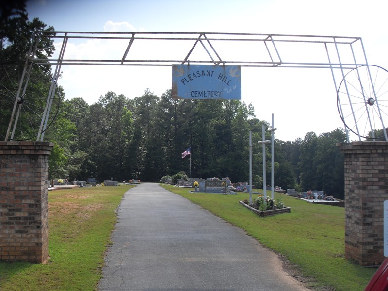
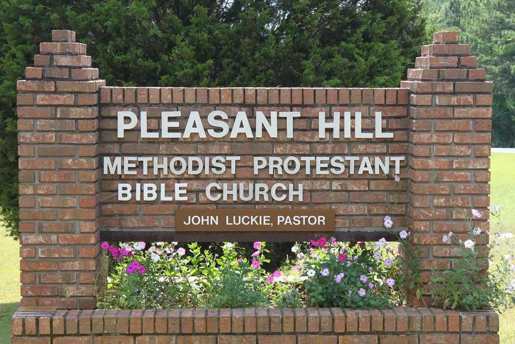
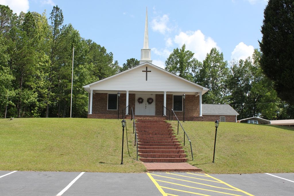
Where is Pleasant Hill Methodist Protestant Church Cemetery?
Pleasant Hill Methodist Protestant Church Cemetery is located at 2807 Pleasant Hill Rd Ashland, Clay County ,Alabama , 36251USA.
-
Pleasant Hill Methodist Protestant Church Cemetery cemetery's updated grave count on graveviews.com?
0 memorials
-
Where are the coordinates of the Pleasant Hill Methodist Protestant Church Cemetery?
Latitude: 33.2267410
Longitude: -85.9252920
Nearby Cemetories:
1. Fairview Christian Church Cemetery
Ashland, Clay County, USA
Coordinate: 33.2353130, -85.9165190
2. Fairview Cemetery
Ashland, Clay County, USA
Coordinate: 33.2364006, -85.9171982
3. Wilsons Cemetery
Clay County, USA
Coordinate: 33.2083015, -85.9546967
4. Mount Zion Cemetery
Ashland, Clay County, USA
Coordinate: 33.2390870, -85.8887200
5. Bethel Christian Church Cemetery
Ashland, Clay County, USA
Coordinate: 33.2020790, -85.8950860
6. Millerville Baptist Church Cemetery
Millerville, Clay County, USA
Coordinate: 33.1892014, -85.9300003
7. Big Springs Baptist Church Cemetery
Clay County, USA
Coordinate: 33.2052994, -85.8783035
8. Pole Bridge Cemetery
Clay County, USA
Coordinate: 33.2700005, -85.9443970
9. Simmons Community Cemetery
Millerville, Clay County, USA
Coordinate: 33.2196999, -85.9807968
10. Old Liberty Hill Cemetery
Clay County, USA
Coordinate: 33.2230988, -85.8632965
11. Liberty Baptist Church Cemetery
Ashland, Clay County, USA
Coordinate: 33.2717018, -85.8914032
12. Antioch Baptist Church Cemetery
Clay County, USA
Coordinate: 33.2827540, -85.9722020
13. Old Field Cemetery
Ashland, Clay County, USA
Coordinate: 33.2742004, -85.8644028
14. Old Noles Cemetery
Clay County, USA
Coordinate: 33.2921982, -85.8927994
15. Bethel Memorial Garden Cemetery
Ashland, Clay County, USA
Coordinate: 33.2682991, -85.8497009
16. Bethlehem Methodist Church Cemetery
Clay County, USA
Coordinate: 33.2435989, -86.0188980
17. New Prospect Baptist Church Cemetery
Ashland, Clay County, USA
Coordinate: 33.2038990, -85.8268970
18. Spring Hill Baptist Church Cemetery
Clay County, USA
Coordinate: 33.3142014, -85.9214020
19. Old Ashland Cemetery
Ashland, Clay County, USA
Coordinate: 33.2721820, -85.8332440
20. Marvins Chapel Cemetery
Millerville, Clay County, USA
Coordinate: 33.1935997, -86.0246964
21. Mount Zion Missionary Baptist Cemetery
Ashland, Clay County, USA
Coordinate: 33.1512060, -85.8667370
22. Ashland City Cemetery
Ashland, Clay County, USA
Coordinate: 33.2778015, -85.8332977
23. Tom Hammonds Family Cemetery
Clay County, USA
Coordinate: 33.1638895, -86.0078795
24. Estes-Pitts Family Cemetery
Talladega County, USA
Coordinate: 33.2934380, -86.0035700