
| Memorials | : | 0 |
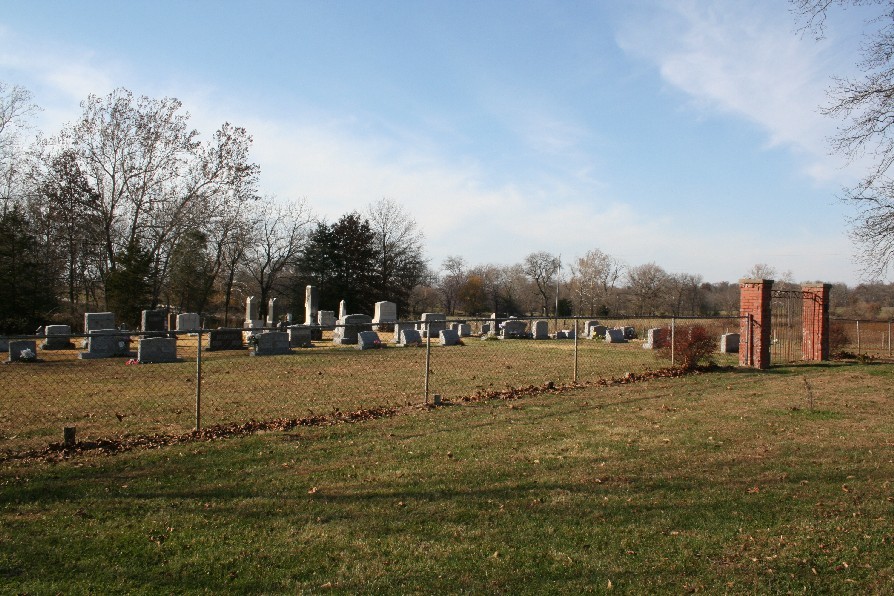
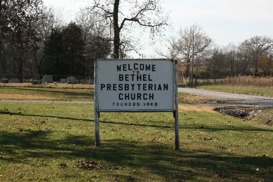
| Location | : | Audrain County, USA |
| Coordinate | : | 39.3012600, -91.8329900 |
frequently asked questions (FAQ):
-
Where is Bethel Presbyterian Cemetery?
Bethel Presbyterian Cemetery is located at Audrain County ,Missouri ,USA.
-
Bethel Presbyterian Cemetery cemetery's updated grave count on graveviews.com?
0 memorials
-
Where are the coordinates of the Bethel Presbyterian Cemetery?
Latitude: 39.3012600
Longitude: -91.8329900

Nearby Cemetories:
1. Talley Cemetery
Salt River Township, Audrain County, USA
Coordinate: 39.3166666, -91.7839523
2. Talley Cemetery I
Prairie Township, Audrain County, USA
Coordinate: 39.3166655, -91.7837607
3. Eubanks Cemetery
Audrain County, USA
Coordinate: 39.2588997, -91.8332977
4. Willingham Cemetery #2
Mexico, Audrain County, USA
Coordinate: 39.2569560, -91.8453710
5. Mount Zion Cemetery
Audrain County, USA
Coordinate: 39.2933006, -91.8933029
6. Bean Creek Cemetery
Audrain County, USA
Coordinate: 39.2505989, -91.8392029
7. Willingham Cemetery #1
Mexico, Audrain County, USA
Coordinate: 39.2502100, -91.8405320
8. Littleby Baptist Church Cemetery
Worcester, Audrain County, USA
Coordinate: 39.2798500, -91.7679700
9. Berea Cemetery
Mexico, Audrain County, USA
Coordinate: 39.3352100, -91.8888900
10. Santa Fe Cemetery
Santa Fe, Monroe County, USA
Coordinate: 39.3689180, -91.8206540
11. Sunrise Christian Cemetery
Audrain County, USA
Coordinate: 39.2475320, -91.8926930
12. Unity Cemetery
Audrain County, USA
Coordinate: 39.3106003, -91.7380981
13. Rock Hill Cemetery
Mexico, Audrain County, USA
Coordinate: 39.2505800, -91.7618200
14. Midway Christian Church Cemetery
Mexico, Audrain County, USA
Coordinate: 39.3244500, -91.9397200
15. Trinity Cemetery
Audrain County, USA
Coordinate: 39.2392006, -91.9141998
16. Littleby Methodist Episcopal Cemetery
Mexico, Audrain County, USA
Coordinate: 39.2223900, -91.7743200
17. South Fork Cemetery
Santa Fe, Monroe County, USA
Coordinate: 39.3889000, -91.7903000
18. Long Branch Cemetery
Monroe County, USA
Coordinate: 39.3418999, -91.9488983
19. New Hope Cemetery
Monroe County, USA
Coordinate: 39.4108009, -91.9105988
20. Saint Johns Lutheran Columbarium
Mexico, Audrain County, USA
Coordinate: 39.1800300, -91.8971600
21. Old Village Cemetery
Mexico, Audrain County, USA
Coordinate: 39.1757545, -91.8867722
22. East Lawn Memorial Park
Mexico, Audrain County, USA
Coordinate: 39.1652985, -91.8482971
23. Saint Brendans Cemetery
Mexico, Audrain County, USA
Coordinate: 39.1727982, -91.9047012
24. Elmwood Cemetery
Mexico, Audrain County, USA
Coordinate: 39.1685982, -91.9039001