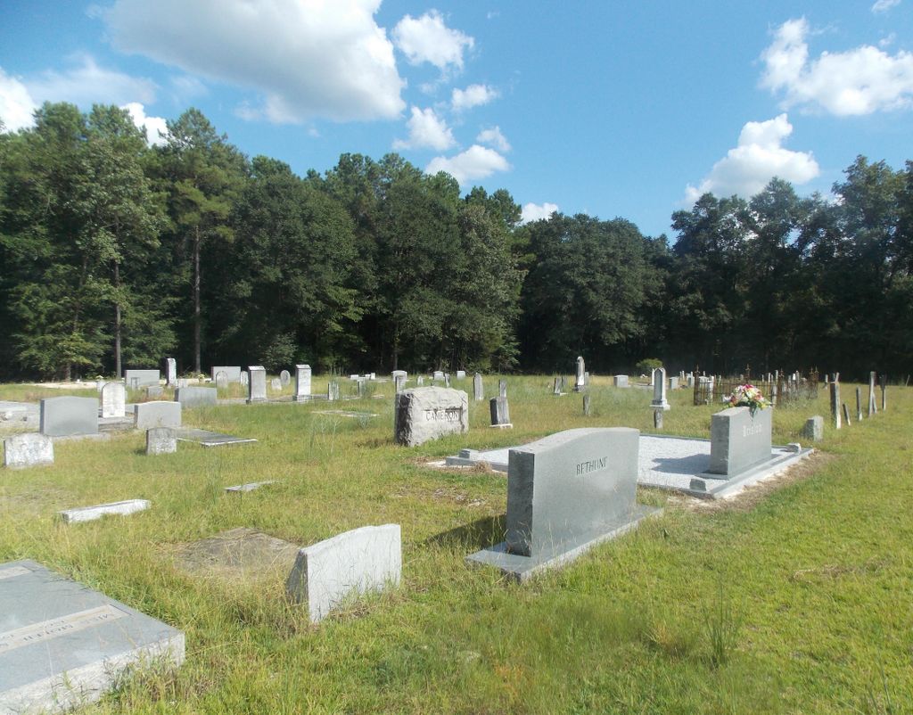
| Memorials | : | 0 |
| Location | : | Bullock County, USA |
| Coordinate | : | 32.0236015, -85.7082977 |
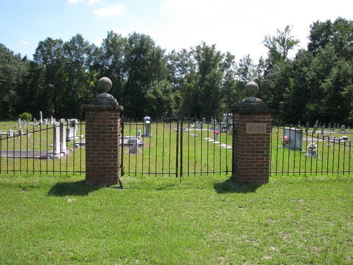
| Description | : | Location: Section 14, Township 12N, Range 23 E South of Union Springs, Alabama on US Highway 29 at Scotland Community and about three miles north of Blues Old Stand. It was originally in Pike County until 1866. Recorded by D & S Cameron on October 17, 1999 and re-checked in October 2000. |
frequently asked questions (FAQ):
-
Where is Bethel Presbyterian Church Cemetery?
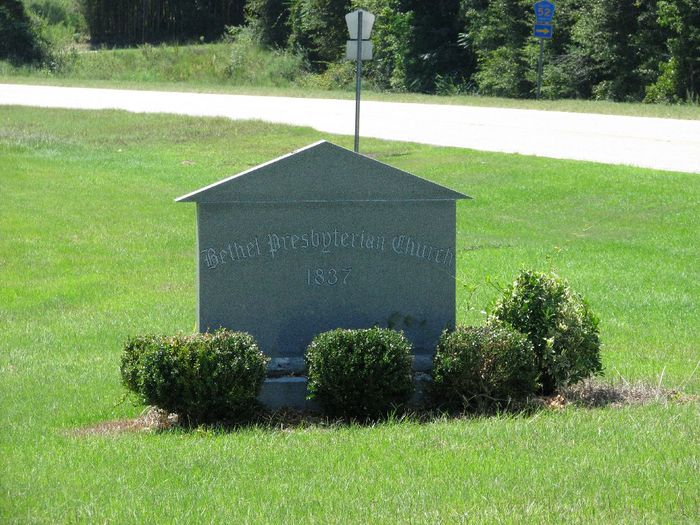
Bethel Presbyterian Church Cemetery is located at Bullock County ,Alabama ,USA.
-
Bethel Presbyterian Church Cemetery cemetery's updated grave count on graveviews.com?
0 memorials
-
Where are the coordinates of the Bethel Presbyterian Church Cemetery?
Latitude: 32.0236015
Longitude: -85.7082977
Nearby Cemetories:
1. Inverness Cemetery
Bullock County, USA
Coordinate: 32.0214005, -85.7542038
2. Cope Cemetery
Bullock County, USA
Coordinate: 31.9972000, -85.6706009
3. New Union Grove Church Cemetery
Blues Old Stand, Bullock County, USA
Coordinate: 31.9853850, -85.6825140
4. Walton Chapel Methodist Church Cemetery
Bullock County, USA
Coordinate: 32.0668983, -85.6892014
5. Aberfoil Community Cemetery
Bullock County, USA
Coordinate: 32.0682110, -85.6880380
6. Mount Calvary Cemetery
Bullock County, USA
Coordinate: 32.0080986, -85.6493988
7. Elizabeth Cemetery
Bullock County, USA
Coordinate: 32.0724983, -85.6849976
8. Dasinger Cemetery
Bullock County, USA
Coordinate: 32.0161018, -85.6466980
9. High Ridge Cemetery
Bullock County, USA
Coordinate: 32.0231018, -85.7724991
10. Lydia Baptist Cemetery
Union Springs, Bullock County, USA
Coordinate: 32.0740890, -85.6838870
11. Mount Zion Baptist Cemetery
Omega, Bullock County, USA
Coordinate: 31.9975128, -85.7725830
12. Old Sellers Cemetery
Bullock County, USA
Coordinate: 31.9694004, -85.7431030
13. Indian Creek Cemetery
Smuteye, Bullock County, USA
Coordinate: 31.9855995, -85.6505966
14. Mallard Chapel AME Zion Church Cemetery
Bullock County, USA
Coordinate: 32.0339012, -85.6292038
15. Ox Level Cemetery
Bullock County, USA
Coordinate: 32.0331001, -85.6286011
16. McGrady Cemetery
Bullock County, USA
Coordinate: 32.0407982, -85.6299973
17. Perote Cemetery
Perote, Bullock County, USA
Coordinate: 31.9449997, -85.7071991
18. Sardis Baptist Church Cemetery
Bullock County, USA
Coordinate: 32.0881004, -85.7617035
19. Mount Olive #1 Baptist Church Cemetery
Omega, Bullock County, USA
Coordinate: 31.9863770, -85.7913780
20. Old Sardis Baptist Church Cemetery
Union Springs, Bullock County, USA
Coordinate: 32.0917015, -85.7600021
21. Fairview Cemetery
Bullock County, USA
Coordinate: 32.0271988, -85.6106033
22. Fellowship Baptist Church Cemetery
Ox Level, Bullock County, USA
Coordinate: 32.0272800, -85.6070200
23. Mount Zion Cemetery
Perote, Bullock County, USA
Coordinate: 31.9376316, -85.7059784
24. Barnette Cemetery
Bullock County, USA
Coordinate: 31.9972000, -85.8052979

