
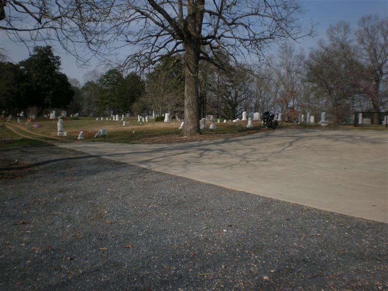
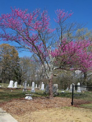
| Memorials | : | 3 |
| Location | : | Red Bud, Gordon County, USA |
| Coordinate | : | 34.5294876, -84.8182526 |
frequently asked questions (FAQ):
-
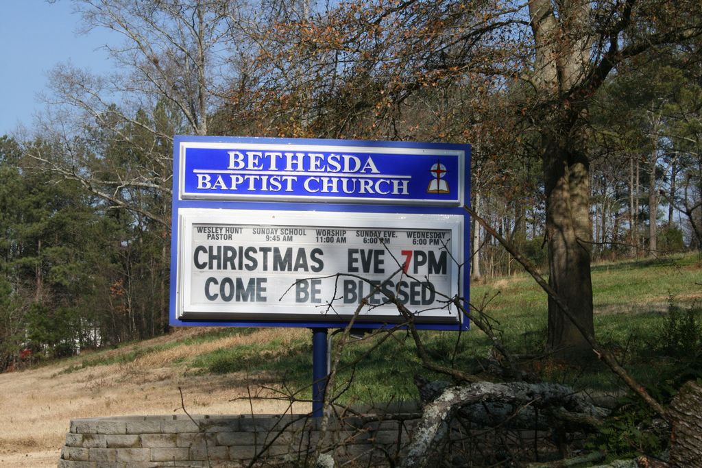
Where is Bethesda Baptist Church Cemetery #2?
Bethesda Baptist Church Cemetery #2 is located at Red Bud, Gordon County ,Georgia ,USA.
-
Bethesda Baptist Church Cemetery #2 cemetery's updated grave count on graveviews.com?
3 memorials
-
Where are the coordinates of the Bethesda Baptist Church Cemetery #2?
Latitude: 34.5294876
Longitude: -84.8182526
Nearby Cemetories:
1. Pine Grove Baptist Church Cemetery
Red Bud, Gordon County, USA
Coordinate: 34.5309170, -84.8285910
2. Mount Pleasant Methodist Church Cemetery
Calhoun, Gordon County, USA
Coordinate: 34.5321040, -84.8352030
3. Haven of Rest Memorial Park
Calhoun, Gordon County, USA
Coordinate: 34.5302700, -84.8521500
4. Campbell Cemetery
Gordon County, USA
Coordinate: 34.5453900, -84.7786533
5. Pleasant Hill Baptist Church Cemetery
Calhoun, Gordon County, USA
Coordinate: 34.5466310, -84.7791570
6. Noblett Cemetery
Audubon, Gordon County, USA
Coordinate: 34.5688100, -84.8175300
7. Assembly of Faith Church Cemetery
Calhoun, Gordon County, USA
Coordinate: 34.4903190, -84.8352840
8. Crane Eater Cemetery
Crane Eater, Gordon County, USA
Coordinate: 34.5221780, -84.8765030
9. Mount Olive Baptist Church Cemetery
Gordon County, USA
Coordinate: 34.4873360, -84.7846580
10. Miracle Temple Church Cemetery
Ranger, Gordon County, USA
Coordinate: 34.5652000, -84.7626600
11. Antioch Baptist Church Cemetery
Calhoun, Gordon County, USA
Coordinate: 34.4989920, -84.8795510
12. House of Deliverance Church
Ranger, Gordon County, USA
Coordinate: 34.5400031, -84.7448070
13. Pine Chapel Cemetery
Gordon County, USA
Coordinate: 34.5820503, -84.8584671
14. Bolding Cemetery
New Town, Gordon County, USA
Coordinate: 34.5242500, -84.9008300
15. Mount Carmel Cemetery
Red Bud, Gordon County, USA
Coordinate: 34.5521740, -84.7392400
16. Harlan Cemetery
Soapstick, Gordon County, USA
Coordinate: 34.5796770, -84.8778120
17. Bethlehem Baptist Church Cemetery
Sonoraville, Gordon County, USA
Coordinate: 34.4597000, -84.8028200
18. Fidelle Cemetery
Gordon County, USA
Coordinate: 34.6017400, -84.8212610
19. Wesley Chapel United Methodist Church Cemetery
Calhoun, Gordon County, USA
Coordinate: 34.4567570, -84.8215720
20. New Echota Cemetery
Calhoun, Gordon County, USA
Coordinate: 34.5327988, -84.9083023
21. Canaanland Baptist Church Cemetery
Resaca, Gordon County, USA
Coordinate: 34.6038690, -84.8363240
22. Welcome Cemetery
Ranger, Gordon County, USA
Coordinate: 34.5796776, -84.7485352
23. Liberty Baptist Church Cemetery
Ranger, Gordon County, USA
Coordinate: 34.5089200, -84.7245000
24. Old Perry Cemetery
Sonoraville, Gordon County, USA
Coordinate: 34.4487800, -84.8122260