
| Memorials | : | 0 |
| Location | : | Ranger, Gordon County, USA |
| Coordinate | : | 34.5652000, -84.7626600 |
| Description | : | This cemetery is a little hard to find. If you take GA-156 E (about 10 miles from exit 315) and turn right on Pleasant Hill Road, then turn right onto Taylor Town Road. You will see Thompson Road on left and what looks like a dirt driveway on the right. The dirt driveway is the road to Miracle Temple Church /Cemetery. There are about 6-8 houses on this road. The cemetery has two levels- an upper level right next to the road, and a lower level behind the church (you will need to pull into the church parking lot... Read More |
frequently asked questions (FAQ):
-
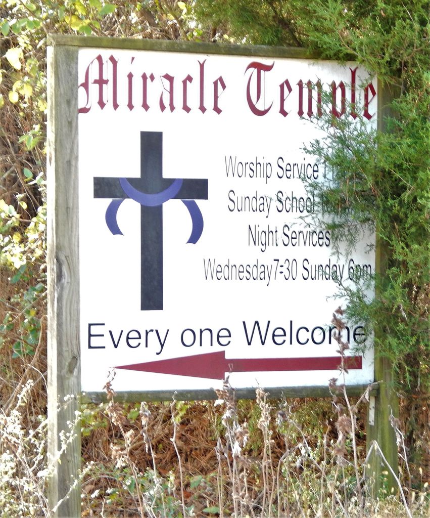
Where is Miracle Temple Church Cemetery?
Miracle Temple Church Cemetery is located at 1319 Taylor Town Rd Ranger, Gordon County ,Georgia ,USA.
-
Miracle Temple Church Cemetery cemetery's updated grave count on graveviews.com?
0 memorials
-
Where are the coordinates of the Miracle Temple Church Cemetery?
Latitude: 34.5652000
Longitude: -84.7626600
Nearby Cemetories:
1. Welcome Cemetery
Ranger, Gordon County, USA
Coordinate: 34.5796776, -84.7485352
2. Pleasant Hill Baptist Church Cemetery
Calhoun, Gordon County, USA
Coordinate: 34.5466310, -84.7791570
3. Mount Carmel Cemetery
Red Bud, Gordon County, USA
Coordinate: 34.5521740, -84.7392400
4. Campbell Cemetery
Gordon County, USA
Coordinate: 34.5453900, -84.7786533
5. House of Deliverance Church
Ranger, Gordon County, USA
Coordinate: 34.5400031, -84.7448070
6. Fairview Church of God Cemetery
Ranger, Gordon County, USA
Coordinate: 34.5692300, -84.7194400
7. Coosawattee White Graves Road Baptist Church Cemet
Ranger, Gordon County, USA
Coordinate: 34.6061965, -84.7496591
8. Oakman Ranger United Methodist Cemetery
Oakman, Gordon County, USA
Coordinate: 34.5699040, -84.7104500
9. Noblett Cemetery
Audubon, Gordon County, USA
Coordinate: 34.5688100, -84.8175300
10. Hopewell Baptist Cemetery
Oakman, Gordon County, USA
Coordinate: 34.5802950, -84.6988390
11. New Hope Baptist Church Cemetery
Ranger, Gordon County, USA
Coordinate: 34.5265330, -84.7135500
12. Bethesda Baptist Church Cemetery #2
Red Bud, Gordon County, USA
Coordinate: 34.5294876, -84.8182526
13. Fidelle Cemetery
Gordon County, USA
Coordinate: 34.6017400, -84.8212610
14. Hopper Family Cemetery
Ranger, Gordon County, USA
Coordinate: 34.5223570, -84.7085630
15. Pine Grove Baptist Church Cemetery
Red Bud, Gordon County, USA
Coordinate: 34.5309170, -84.8285910
16. Liberty Baptist Church Cemetery
Ranger, Gordon County, USA
Coordinate: 34.5089200, -84.7245000
17. Mount Pleasant Methodist Church Cemetery
Calhoun, Gordon County, USA
Coordinate: 34.5321040, -84.8352030
18. Canaanland Baptist Church Cemetery
Resaca, Gordon County, USA
Coordinate: 34.6038690, -84.8363240
19. Mount Olive Baptist Church Cemetery
Gordon County, USA
Coordinate: 34.4873360, -84.7846580
20. Pine Chapel Cemetery
Gordon County, USA
Coordinate: 34.5820503, -84.8584671
21. Haven of Rest Memorial Park
Calhoun, Gordon County, USA
Coordinate: 34.5302700, -84.8521500
22. Haulbrook-Smith Cemetery
Nickelsville, Gordon County, USA
Coordinate: 34.6013400, -84.8653000
23. Meadow View Mennonite Cemetery
Resaca, Gordon County, USA
Coordinate: 34.6191290, -84.8568020
24. Stanton Cemetery
Ranger, Gordon County, USA
Coordinate: 34.4828300, -84.7044000