
| Memorials | : | 0 |
| Location | : | Arnett, Ellis County, USA |
| Coordinate | : | 36.1342700, -99.8816900 |
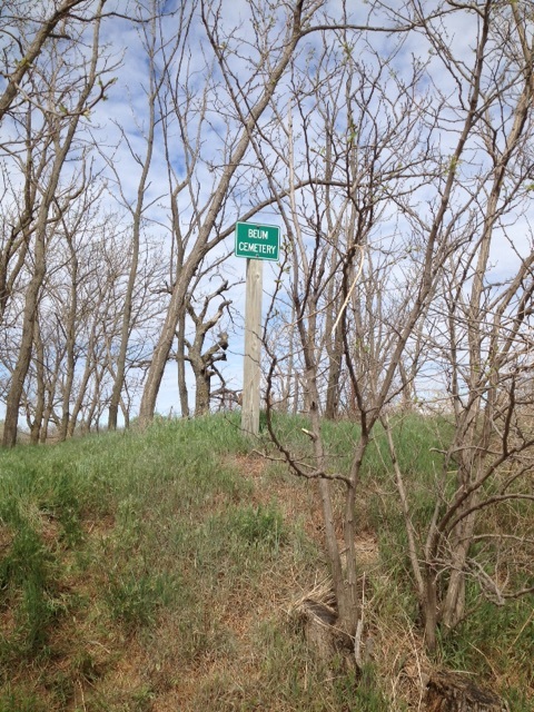
| Description | : | LOCATION: Across the road west of the Beum (AKA Little Red School House), 1/4 Mile south of the junction of Highways 60 and 283. This is a small cemetery that was established about 1901. There were three headstones still standing in 1996. In the 1950'S and early 6O'S, there were several more graves marked. In 1910 Harvey Pinkerton owned the land around this little cemetery. E.M. Beum, who settled here in 1900, owned land adjoining Mr. Pinkerton's. Mr. Beum was also a Baptist minister. Church services were held in his home and in Dow Pinkertons on alternate Sundays. We know... Read More |
frequently asked questions (FAQ):
-
Where is Beum Cemetery?
Beum Cemetery is located at Across the road west of the Beum (AKA Little Red School House), 1/4 Mile south of the junction of Hi Arnett, Ellis County ,Oklahoma ,USA.
-
Beum Cemetery cemetery's updated grave count on graveviews.com?
0 memorials
-
Where are the coordinates of the Beum Cemetery?
Latitude: 36.1342700
Longitude: -99.8816900
Nearby Cemetories:
1. Allmon Cemetery
Arnett, Ellis County, USA
Coordinate: 36.0710983, -99.8768997
2. Brown Family Cemetery
Arnett, Ellis County, USA
Coordinate: 36.0696400, -99.8828900
3. Seventh Day Adventist Cemetery
Shattuck, Ellis County, USA
Coordinate: 36.2025000, -99.8631000
4. Goodwin-Emmons Cemetery
Ellis County, USA
Coordinate: 36.1366997, -99.9710999
5. Emmons Cemetery
Ellis County, USA
Coordinate: 36.1365580, -99.9714660
6. Ebenezer Baptist Cemetery
Shattuck, Ellis County, USA
Coordinate: 36.1948800, -99.9534600
7. Debolt Cemetery
Arnett, Ellis County, USA
Coordinate: 36.1450005, -99.7667007
8. Lutheran Cemetery
Ellis County, USA
Coordinate: 36.2296982, -99.9163971
9. Shattuck Cemetery
Shattuck, Ellis County, USA
Coordinate: 36.2653900, -99.8802300
10. Grand Cemetery
Ellis County, USA
Coordinate: 36.0130997, -99.8178024
11. Bellview Cemetery
Roger Mills County, USA
Coordinate: 35.9564018, -99.8677979
12. Gage Memorial Cemetery
Gage, Ellis County, USA
Coordinate: 36.3107986, -99.7675018
13. Lone Tree Cemetery
Ellis County, USA
Coordinate: 35.9399986, -99.9617004
14. Eddie Cemetery
Ellis County, USA
Coordinate: 36.0435000, -99.6311400
15. Harmon Cemetery
Harmon, Ellis County, USA
Coordinate: 36.1519012, -99.5607986
16. Fairview Cemetery
Durham, Roger Mills County, USA
Coordinate: 35.8638992, -99.8897018
17. Packsaddle Cemetery
Ellis County, USA
Coordinate: 35.8798100, -99.7361000
18. Doris-Keenan Cemetery
Keenan, Woodward County, USA
Coordinate: 36.2755000, -99.5690000
19. Lone Star Cemetery
Ellis County, USA
Coordinate: 36.0572014, -99.5152969
20. Mount Hope Cemetery
Ellis County, USA
Coordinate: 36.4417000, -99.9088974
21. Fargo Cemetery
Fargo, Ellis County, USA
Coordinate: 36.3633003, -99.6239014
22. Braunch Memorial Park
Fargo, Ellis County, USA
Coordinate: 36.3767014, -99.6172028
23. Pie Flat Cemetery
Roger Mills County, USA
Coordinate: 35.8363991, -99.7106018
24. Lone Bell Cemetery
Ellis County, USA
Coordinate: 35.8614006, -99.6188965