
| Memorials | : | 6 |
| Location | : | Emma, Floyd County, USA |
| Coordinate | : | 37.6372470, -82.7045120 |
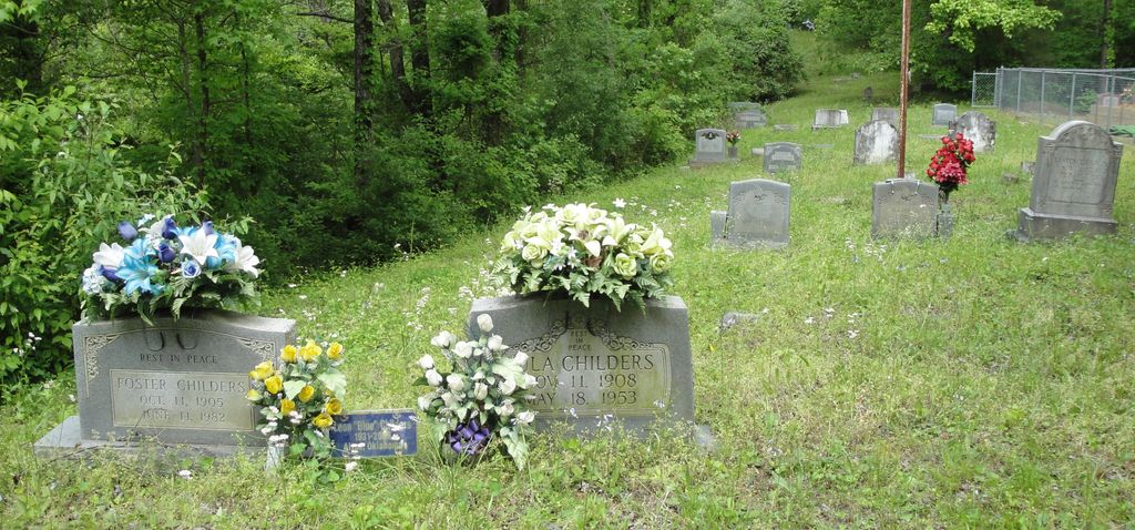
| Description | : | Cemetery is located in Emma, Kentucky off of old 23. Once you cross the bridge at the Big Sandy River into Emma, go until you have to turn, making a right hand turn at stop sign (Emma Road). Go a couple of miles and on your left you will see a railroad crossing. Turn left and go across the tracks following the road to your right going to a winding road to the top of the hill. You will first come to Leslie Cemetery (Crit Leslie), not to be confused with the "Old Leslie" Cemetery which is the Leslie (Clint... Read More |
frequently asked questions (FAQ):
-
Where is Bill Sherman Cemetery?
Bill Sherman Cemetery is located at Emma, Floyd County ,Kentucky ,USA.
-
Bill Sherman Cemetery cemetery's updated grave count on graveviews.com?
6 memorials
-
Where are the coordinates of the Bill Sherman Cemetery?
Latitude: 37.6372470
Longitude: -82.7045120
Nearby Cemetories:
1. Leslie Cemetery #2
Emma, Floyd County, USA
Coordinate: 37.6370490, -82.7041600
2. Leslie Cemetery #1
Emma, Floyd County, USA
Coordinate: 37.6416150, -82.7017120
3. Amos Leslie Cemetery
Emma, Floyd County, USA
Coordinate: 37.6439900, -82.7063600
4. Dwale Community Cemetery
Dwale, Floyd County, USA
Coordinate: 37.6187440, -82.7210490
5. Riley Hall Cemetery
Allen City, Floyd County, USA
Coordinate: 37.6186110, -82.7210090
6. David K Martin Cemetery
Allen City, Floyd County, USA
Coordinate: 37.6168710, -82.7208120
7. Grant Weddington Cemetery
Banner, Floyd County, USA
Coordinate: 37.6001480, -82.6921580
8. Crum Cemetery
Banner, Floyd County, USA
Coordinate: 37.5932553, -82.7016773
9. Jeff DeRossett Cemetery
Bull Creek, Floyd County, USA
Coordinate: 37.6300011, -82.7600021
10. Mayo Cemetery #2
Allen City, Floyd County, USA
Coordinate: 37.5974870, -82.7319270
11. Hall Cemetery #3
Banner, Floyd County, USA
Coordinate: 37.5884267, -82.6909192
12. Jervis Cemetery #1
Endicott, Floyd County, USA
Coordinate: 37.6684060, -82.6521070
13. Frazier Cemetery #2
Arkansas, Floyd County, USA
Coordinate: 37.5848880, -82.7323080
14. Goble Cemetery #3
Endicott, Floyd County, USA
Coordinate: 37.6615370, -82.6339860
15. Allen W Akers Cemetery
Banner, Floyd County, USA
Coordinate: 37.5670570, -82.6923360
16. Williams Cemetery #2
Dana, Floyd County, USA
Coordinate: 37.5669640, -82.6922410
17. John D Boyd Cemetery
Dana, Floyd County, USA
Coordinate: 37.5597600, -82.6942210
18. Wright Cemetery #3
Cliff, Floyd County, USA
Coordinate: 37.7006980, -82.7698800
19. Elijah Akers Cemetery
Dana, Floyd County, USA
Coordinate: 37.5565110, -82.6811720
20. Samuel P Dingus Cemetery
Alphoretta, Floyd County, USA
Coordinate: 37.5627880, -82.7565550
21. Moore Family Cemetery #6
Cliff, Floyd County, USA
Coordinate: 37.7017220, -82.7762220
22. Fred Conn Cemetery
Dana, Floyd County, USA
Coordinate: 37.5510380, -82.6942530
23. Wilford Boyd Cemetery
Dana, Floyd County, USA
Coordinate: 37.5516220, -82.6880930
24. Barnett Family Cemetery
Floyd County, USA
Coordinate: 37.5556679, -82.7482986