
| Memorials | : | 2 |
| Location | : | Union, Boone County, USA |
| Coordinate | : | 38.8736000, -84.7605972 |
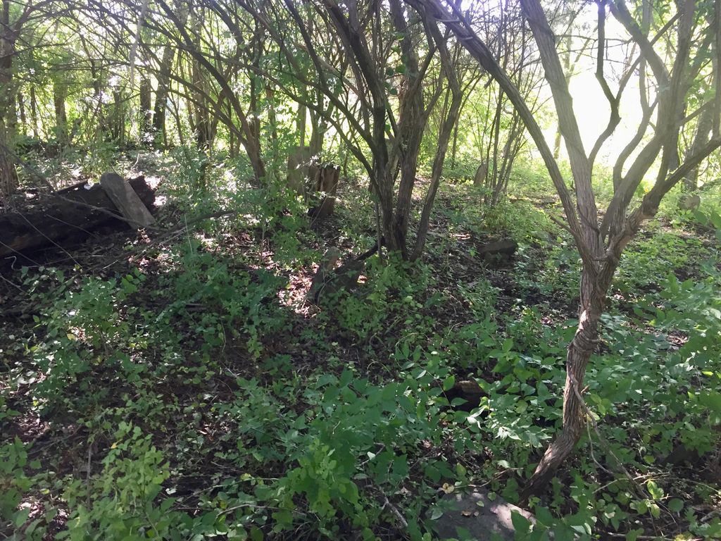
| Description | : | The cemetery is located on the east side of Boat Dock Road (Kentucky State Highway 1925) about 0.5 miles south of its intersection with Bender Road. The U.S. Geological Survey (USGS) Geographic Names Information System (GNIS) feature ID for the cemetery is 487360 (Black Cemetery). The Boone County GIS unique ID assigned to this cemetery is 24 (Black Cemetery). The cemetery has an index number of 24 (Black) on the Boone County Kentucky Cemetery Map published in 2005 by the Boone County Planning Commission in conjunction with Johnson-Wilson Cemetery Stewards Association. The cemetery is identified as Black in the index and listed as Black... Read More |
frequently asked questions (FAQ):
-
Where is Black Cemetery?
Black Cemetery is located at 12755 Boat Dock Road Union, Boone County ,Kentucky , 41091USA.
-
Black Cemetery cemetery's updated grave count on graveviews.com?
2 memorials
-
Where are the coordinates of the Black Cemetery?
Latitude: 38.8736000
Longitude: -84.7605972
Nearby Cemetories:
1. Slator Cemetery
Beaverlick, Boone County, USA
Coordinate: 38.8689160, -84.7526830
2. Wright Carpenter Gravesite
Big Bone, Boone County, USA
Coordinate: 38.8862590, -84.7623330
3. Baker Family Cemetery
Big Bone, Boone County, USA
Coordinate: 38.8840030, -84.7471470
4. Allphin Cemetery
Boone County, USA
Coordinate: 38.8568993, -84.7724991
5. Dudgeon Cemetery
Beaverlick, Boone County, USA
Coordinate: 38.8855560, -84.7383330
6. Grimsley Family Cemetery
Big Bone, Boone County, USA
Coordinate: 38.8581886, -84.7853546
7. Edwin Baker Farm Cemetery
Big Bone, Boone County, USA
Coordinate: 38.8530600, -84.7391700
8. Moore Cemetery
Warsaw, Gallatin County, USA
Coordinate: 38.8537300, -84.7866200
9. Richardson Cemetery
Boone County, USA
Coordinate: 38.8452988, -84.7574997
10. Saint Joseph Mission Cemetery
Boone County, USA
Coordinate: 38.8924510, -84.7302710
11. Howlett-Glore Cemetery
Big Bone, Boone County, USA
Coordinate: 38.9023590, -84.7309120
12. South Fork Church Cemetery
Hume, Boone County, USA
Coordinate: 38.8340100, -84.7513200
13. Beaverlick Christian Cemetery
Beaverlick, Boone County, USA
Coordinate: 38.8673500, -84.7092900
14. Conley Cemetery
Beaverlick, Boone County, USA
Coordinate: 38.8603190, -84.7111280
15. Brown Cemetery
Verona, Boone County, USA
Coordinate: 38.8336110, -84.7505560
16. Sleet - Hume - Brasher Family Cemetery
Boone County, USA
Coordinate: 38.8563890, -84.7122220
17. Gregory Cemetery
Rabbit Hash, Boone County, USA
Coordinate: 38.9007988, -84.8022003
18. Baker Cemetery
Beaverlick, Boone County, USA
Coordinate: 38.8745613, -84.7042007
19. Jimerson Craig Cemetery
Beaverlick, Boone County, USA
Coordinate: 38.9030560, -84.8041670
20. Hance Cemetery
Gallatin County, USA
Coordinate: 38.8283005, -84.7585983
21. Ballard-Brasher Cemetery
Hume, Boone County, USA
Coordinate: 38.8444290, -84.7151370
22. Stahl Cemetery
Gallatin County, USA
Coordinate: 38.8280983, -84.7733002
23. Big Bone Baptist Church Cemetery
Big Bone, Boone County, USA
Coordinate: 38.9217100, -84.7467300
24. Rachel Hudson Cemetery
Beaverlick, Boone County, USA
Coordinate: 38.8750000, -84.6969440