
| Memorials | : | 2 |
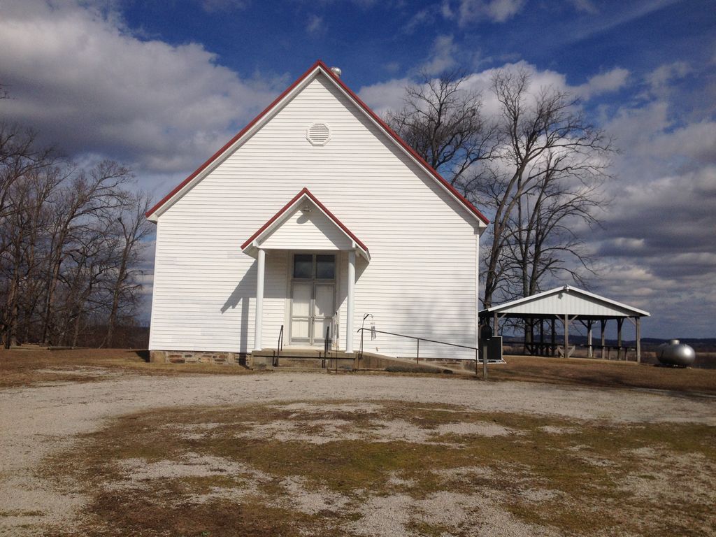
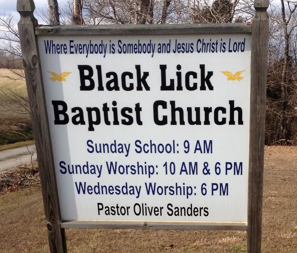
| Location | : | Falls of Rough, Breckinridge County, USA |
| Coordinate | : | 37.6647600, -86.5876800 |
frequently asked questions (FAQ):
-
Where is Black Lick Baptist Church Cemetery?
Black Lick Baptist Church Cemetery is located at 246 Blacklick Church Lane Falls of Rough, Breckinridge County ,Kentucky , 40119USA.
-
Black Lick Baptist Church Cemetery cemetery's updated grave count on graveviews.com?
2 memorials
-
Where are the coordinates of the Black Lick Baptist Church Cemetery?
Latitude: 37.6647600
Longitude: -86.5876800
Nearby Cemetories:
1. Robertson Cemetery
Glen Dean, Breckinridge County, USA
Coordinate: 37.6677380, -86.5937930
2. Howard Cemetery #2
Glen Dean, Breckinridge County, USA
Coordinate: 37.6558580, -86.5866550
3. Summers Dean Family Cemetery
Hardinsburg, Breckinridge County, USA
Coordinate: 37.6416054, -86.6086090
4. Clay Cooper Cemetery
Glen Dean, Breckinridge County, USA
Coordinate: 37.6425100, -86.5647130
5. Beatty Cemetery
Hancock County, USA
Coordinate: 37.6739006, -86.6342010
6. Goshen Baptist Church Cemetery
Glen Dean, Breckinridge County, USA
Coordinate: 37.6493500, -86.5427800
7. Hopewell Cemetery
Fordsville, Ohio County, USA
Coordinate: 37.6545710, -86.6412520
8. Macedonia Baptist Church Cemetery
Falls of Rough, Breckinridge County, USA
Coordinate: 37.6200000, -86.5803000
9. Dunk and Raily Powell Family Cemetery
Glen Dean, Breckinridge County, USA
Coordinate: 37.6519900, -86.5321400
10. Friendship Baptist Church Cemetery
Hancock County, USA
Coordinate: 37.6875620, -86.6537140
11. Meador Askins Family Cemetery
Falls of Rough, Breckinridge County, USA
Coordinate: 37.6072960, -86.5935090
12. Grant Owen Cemetery
Glen Dean, Breckinridge County, USA
Coordinate: 37.6500360, -86.5142440
13. Saint Mary of the Woods Cemetery
Hardinsburg, Breckinridge County, USA
Coordinate: 37.7120300, -86.5217500
14. Eskridge Cemetery
Leitchfield, Grayson County, USA
Coordinate: 37.6153000, -86.5080000
15. Edward Smith Burial Ground
Fordsville, Ohio County, USA
Coordinate: 37.5960930, -86.6431300
16. Sand Knob Cemetery
Axtel, Breckinridge County, USA
Coordinate: 37.6410500, -86.4878000
17. Haynes Cemetery #1
Askin, Ohio County, USA
Coordinate: 37.6319000, -86.6861000
18. Easton Cemetery
Easton, Hancock County, USA
Coordinate: 37.7078370, -86.6802280
19. Owens Cemetery #1
Axtel, Breckinridge County, USA
Coordinate: 37.6680600, -86.4802550
20. Clark Cemetery
Axtel, Breckinridge County, USA
Coordinate: 37.6291880, -86.4867780
21. Newton Springs Cemetery
Haynesville, Ohio County, USA
Coordinate: 37.6852100, -86.6953500
22. Newton Springs Cemetery
Hawesville, Hancock County, USA
Coordinate: 37.6852100, -86.6953500
23. New Hope Baptist Church Cemetery
Fordsville, Ohio County, USA
Coordinate: 37.6269940, -86.6921990
24. McClellan Cemetery
Axtel, Breckinridge County, USA
Coordinate: 37.6359167, -86.4733667