
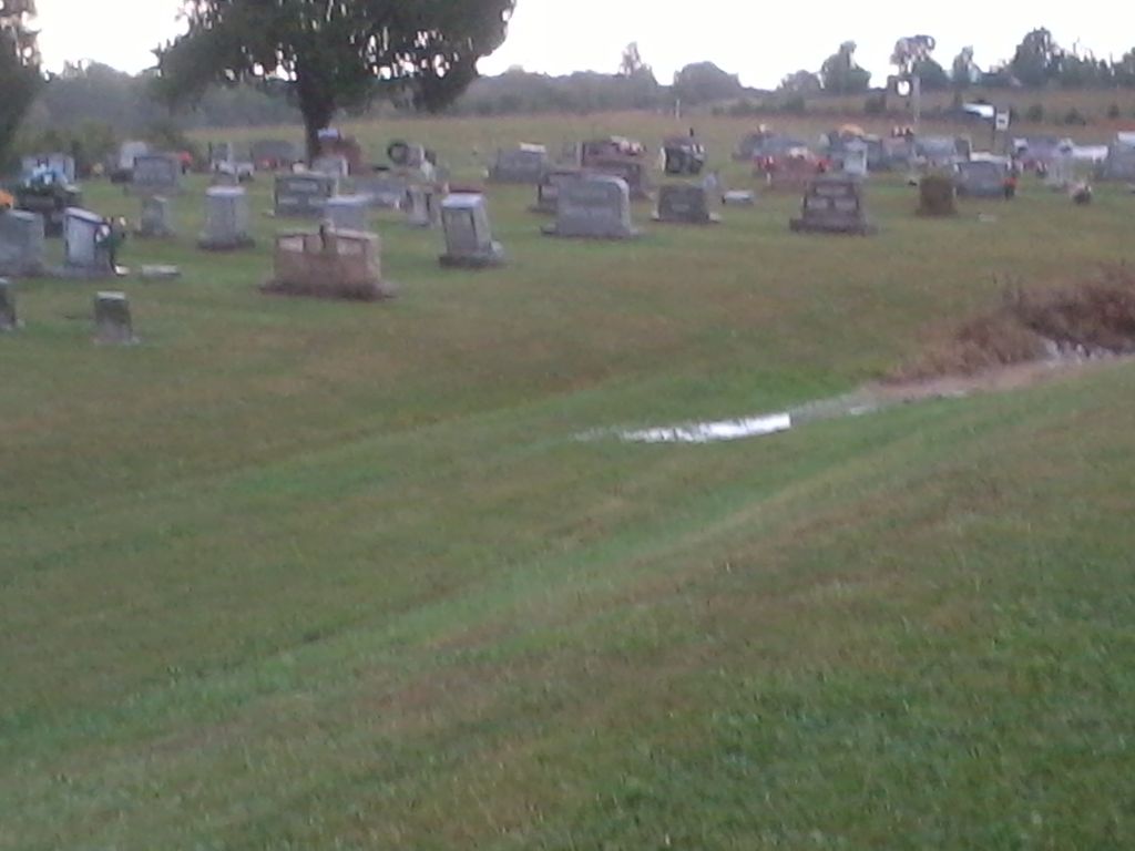
| Memorials | : | 7 |
| Location | : | Axtel, Breckinridge County, USA |
| Coordinate | : | 37.6410500, -86.4878000 |
frequently asked questions (FAQ):
-
Where is Sand Knob Cemetery?
Sand Knob Cemetery is located at Axtel, Breckinridge County ,Kentucky ,USA.
-
Sand Knob Cemetery cemetery's updated grave count on graveviews.com?
7 memorials
-
Where are the coordinates of the Sand Knob Cemetery?
Latitude: 37.6410500
Longitude: -86.4878000

Nearby Cemetories:
1. Clark Cemetery
Axtel, Breckinridge County, USA
Coordinate: 37.6291880, -86.4867780
2. McClellan Cemetery
Axtel, Breckinridge County, USA
Coordinate: 37.6359167, -86.4733667
3. Mount Carmel Cemetery
Axtel, Breckinridge County, USA
Coordinate: 37.6323000, -86.4685000
4. Saint Anthony Catholic Church Cemetery
Axtel, Breckinridge County, USA
Coordinate: 37.6347000, -86.4626000
5. Grant Owen Cemetery
Glen Dean, Breckinridge County, USA
Coordinate: 37.6500360, -86.5142440
6. Owens Cemetery #1
Axtel, Breckinridge County, USA
Coordinate: 37.6680600, -86.4802550
7. Eskridge Cemetery
Leitchfield, Grayson County, USA
Coordinate: 37.6153000, -86.5080000
8. Dunk and Raily Powell Family Cemetery
Glen Dean, Breckinridge County, USA
Coordinate: 37.6519900, -86.5321400
9. Goshen Baptist Church Cemetery
Glen Dean, Breckinridge County, USA
Coordinate: 37.6493500, -86.5427800
10. Lone Star Cemetery
Falls of Rough, Grayson County, USA
Coordinate: 37.5929000, -86.5053000
11. Cave Spring United Methodist Church Cemetery
Cave Spring, Breckinridge County, USA
Coordinate: 37.6571590, -86.4197580
12. Clay Cooper Cemetery
Glen Dean, Breckinridge County, USA
Coordinate: 37.6425100, -86.5647130
13. Durham Family Cemetery
Breckinridge County, USA
Coordinate: 37.6977150, -86.4584100
14. Blain Family Cemetery
Short Creek, Grayson County, USA
Coordinate: 37.5731000, -86.5098000
15. Beauchamp Family Cemetery
Falls of Rough, Grayson County, USA
Coordinate: 37.5689090, -86.4900950
16. Allen Cemetery
Grayson County, USA
Coordinate: 37.5741400, -86.5316300
17. Saint Mary of the Woods Cemetery
Hardinsburg, Breckinridge County, USA
Coordinate: 37.7120300, -86.5217500
18. Macedonia Baptist Church Cemetery
Falls of Rough, Breckinridge County, USA
Coordinate: 37.6200000, -86.5803000
19. Howard Cemetery #2
Glen Dean, Breckinridge County, USA
Coordinate: 37.6558580, -86.5866550
20. Shady Grove Cemetery
Grayson County, USA
Coordinate: 37.5603228, -86.5071411
21. Black Lick Baptist Church Cemetery
Falls of Rough, Breckinridge County, USA
Coordinate: 37.6647600, -86.5876800
22. Concord Church Cemetery
Concord, Grayson County, USA
Coordinate: 37.5607014, -86.4606095
23. Westview Cemetery
Hardinsburg, Breckinridge County, USA
Coordinate: 37.6973433, -86.4053939
24. Robertson Cemetery
Glen Dean, Breckinridge County, USA
Coordinate: 37.6677380, -86.5937930