
| Memorials | : | 179 |
| Location | : | Black Springs, Oberon Shire, Australia |
| Coordinate | : | -33.8508220, 149.7403260 |
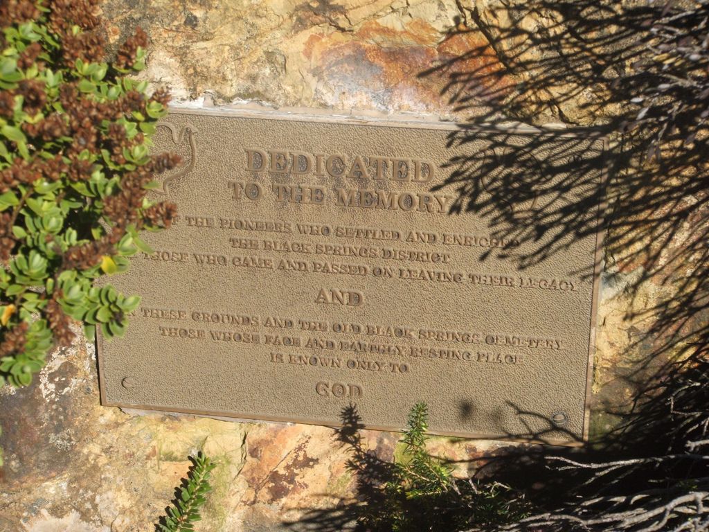
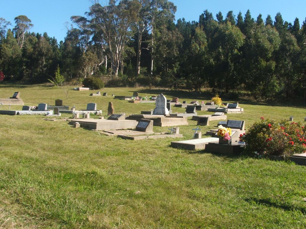
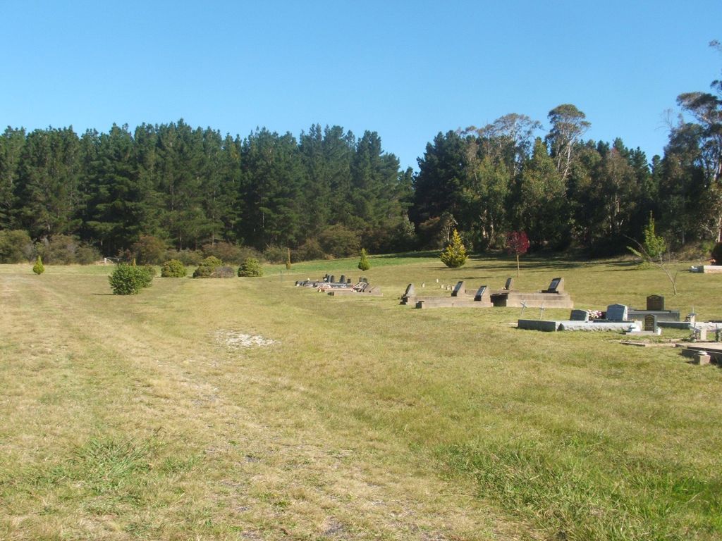
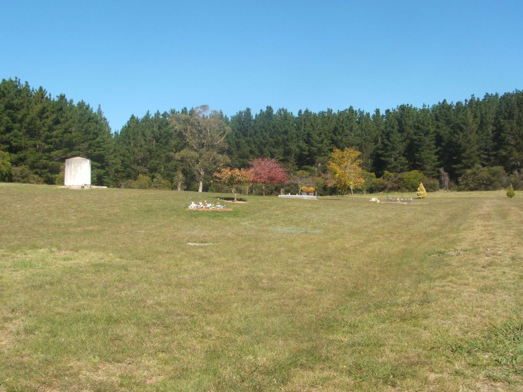
| Description | : | Oberon Council took over the Black Springs Cemetery in 1968. This means there are many unmarked and unknown grave sites within the grounds of this cemetery. Some of the graves date back to the late 1800's and are of historical significance. Black Springs is a village 23 km from Oberon on the road to Goulburn. The cemetery is located about 400m from the centre of the village on the southern side of Campbells River Road. |
frequently asked questions (FAQ):
-
Where is Black Springs Cemetery?
Black Springs Cemetery is located at Campbells River Road Black Springs, Oberon Shire ,New South Wales , 2787Australia.
-
Black Springs Cemetery cemetery's updated grave count on graveviews.com?
179 memorials
-
Where are the coordinates of the Black Springs Cemetery?
Latitude: -33.8508220
Longitude: 149.7403260
Nearby Cemetories:
1. Black Springs Old Cemetery
Black Springs, Oberon Shire, Australia
Coordinate: -33.8659640, 149.6938590
2. Shooters Hill Cemetery
Oberon, Oberon Shire, Australia
Coordinate: -33.9067340, 149.8546910
3. Brisbane Valley Catholic Cemetery
Oberon Shire, Australia
Coordinate: -33.7359520, 149.7358260
4. Isabella Cemetery
Isabella, Oberon Shire, Australia
Coordinate: -33.9441870, 149.6595150
5. Foleys Creek Cemetery
Essington, Oberon Shire, Australia
Coordinate: -33.7357790, 149.7359920
6. Porters Retreat
Porters Retreat, Oberon Shire, Australia
Coordinate: -33.9894520, 149.7915500
7. Oberon General Cemetery
Oberon, Oberon Shire, Australia
Coordinate: -33.7061300, 149.8340300
8. Mary Vale Cemetery
Porters Retreat, Oberon Shire, Australia
Coordinate: -34.0184500, 149.7901400
9. Lone Graves
Oberon, Oberon Shire, Australia
Coordinate: -33.7040630, 149.8558330
10. Oberon Old Anglican Cemetery
Oberon, Oberon Shire, Australia
Coordinate: -33.7044740, 149.8590950
11. Oberon Old Methodist Cemetery
Oberon, Oberon Shire, Australia
Coordinate: -33.7083240, 149.8775790
12. Burraga General Cemetery
Burraga, Oberon Shire, Australia
Coordinate: -33.9281040, 149.5066530
13. Rockley Cemetery
Rockley, Bathurst Regional Council, Australia
Coordinate: -33.7156710, 149.5354450
14. Hazelgrove Cemetery
Hazelgrove, Oberon Shire, Australia
Coordinate: -33.6626790, 149.8936880
15. Triangle Flat Catholic Cemetery
Triangle Flat, Oberon Shire, Australia
Coordinate: -33.7589240, 149.4707050
16. O'Connell Anglican Cemetery
O'Connell, Bathurst Regional Council, Australia
Coordinate: -33.5365300, 149.7232250
17. O'Connell Catholic Cemetery
O'Connell, Bathurst Regional Council, Australia
Coordinate: -33.5363870, 149.7227100
18. Arkell Cemetery
Arkell, Bathurst Regional Council, Australia
Coordinate: -33.7450540, 149.3816430
19. Long Swamp Catholic Cemetery
Triangle Flat, Oberon Shire, Australia
Coordinate: -33.7290510, 149.3890000
20. Tarana Anglican Cemetery
Tarana, Lithgow City, Australia
Coordinate: -33.5434610, 149.8702260
21. Caloola Union Church Cemetery
Bathurst, Bathurst Regional Council, Australia
Coordinate: -33.6027870, 149.4386520
22. Cow Flat - Dennis Island Methodist Cemetery
Bathurst Regional Council, Australia
Coordinate: -33.5560450, 149.5049830
23. Macquarie Plains Methodist
Bathurst, Bathurst Regional Council, Australia
Coordinate: -33.4950940, 149.6818940
24. St. Peter's Uniting Church Cemetery
Hobbys Yards, Blayney Shire, Australia
Coordinate: -33.6939850, 149.3271790