
| Memorials | : | 9 |
| Location | : | Burraga, Oberon Shire, Australia |
| Coordinate | : | -33.9281040, 149.5066530 |
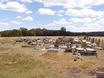
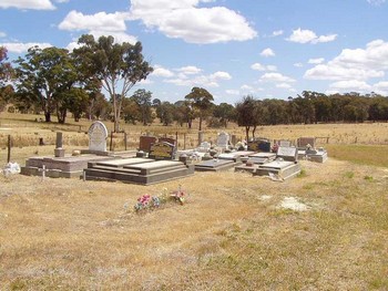
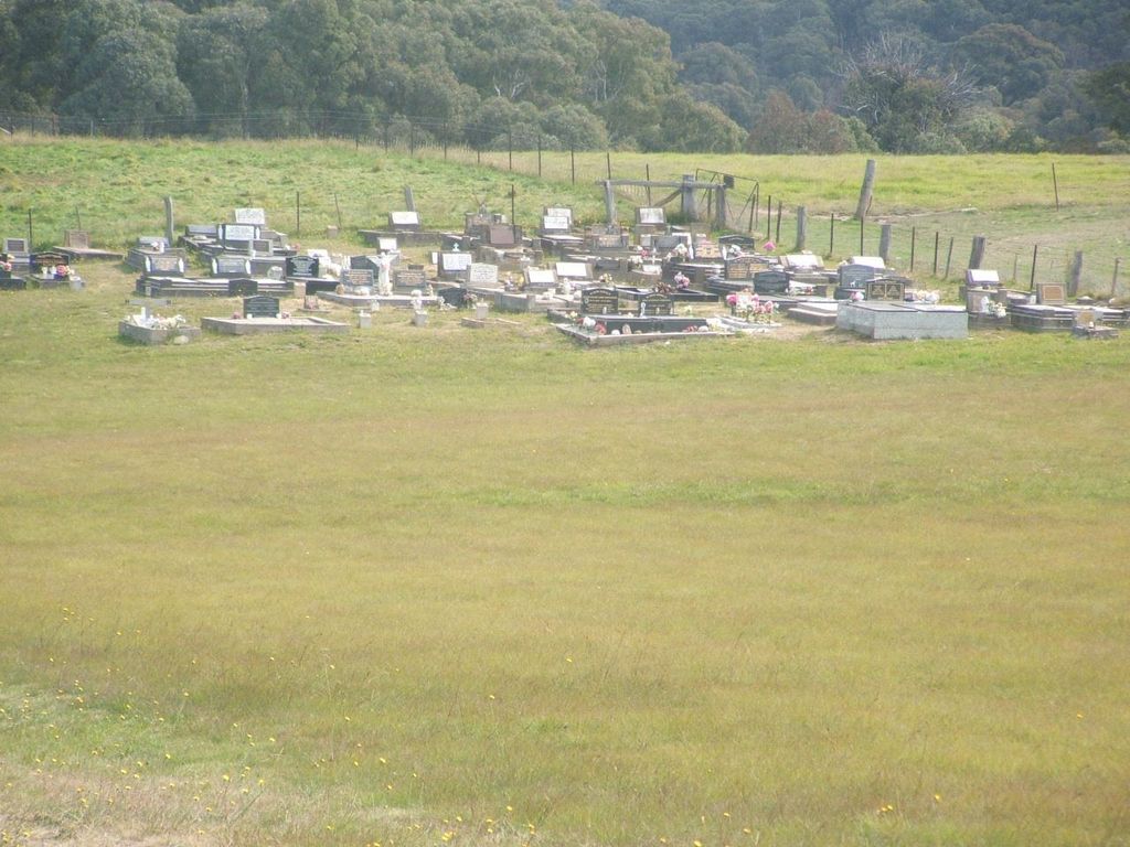
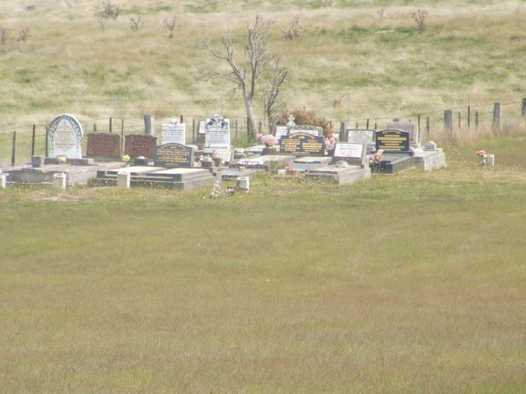
| Description | : | Burraga is a village south of Rockley and SW of Oberon. From Oberon, take the Abercrombie (Goulburn) Road and, at Black Springs, the Campbells River Road for approximately 25 km to Burraga. The cemetery is located 3.2km from Burraga on the Bathurst Road. There are three portions - Catholic on the right hand side and Anglican and Presbyterian on the left. There is only one inscription in the Presbyterian portion. The portions are not marked. The cemetery appears to have been in use for less than 100 years. The earliest date we found on any headstone was 1910. The... Read More |
frequently asked questions (FAQ):
-
Where is Burraga General Cemetery?
Burraga General Cemetery is located at Bathurst Road Burraga, Oberon Shire ,New South Wales , 2795Australia.
-
Burraga General Cemetery cemetery's updated grave count on graveviews.com?
9 memorials
-
Where are the coordinates of the Burraga General Cemetery?
Latitude: -33.9281040
Longitude: 149.5066530
Nearby Cemetories:
1. Isabella Cemetery
Isabella, Oberon Shire, Australia
Coordinate: -33.9441870, 149.6595150
2. Black Springs Old Cemetery
Black Springs, Oberon Shire, Australia
Coordinate: -33.8659640, 149.6938590
3. Triangle Flat Catholic Cemetery
Triangle Flat, Oberon Shire, Australia
Coordinate: -33.7589240, 149.4707050
4. Black Springs Cemetery
Black Springs, Oberon Shire, Australia
Coordinate: -33.8508220, 149.7403260
5. Arkell Cemetery
Arkell, Bathurst Regional Council, Australia
Coordinate: -33.7450540, 149.3816430
6. Rockley Cemetery
Rockley, Bathurst Regional Council, Australia
Coordinate: -33.7156710, 149.5354450
7. Long Swamp Catholic Cemetery
Triangle Flat, Oberon Shire, Australia
Coordinate: -33.7290510, 149.3890000
8. Porters Retreat
Porters Retreat, Oberon Shire, Australia
Coordinate: -33.9894520, 149.7915500
9. Mary Vale Cemetery
Porters Retreat, Oberon Shire, Australia
Coordinate: -34.0184500, 149.7901400
10. Brisbane Valley Catholic Cemetery
Oberon Shire, Australia
Coordinate: -33.7359520, 149.7358260
11. Foleys Creek Cemetery
Essington, Oberon Shire, Australia
Coordinate: -33.7357790, 149.7359920
12. St. Peter's Uniting Church Cemetery
Hobbys Yards, Blayney Shire, Australia
Coordinate: -33.6939850, 149.3271790
13. Shooters Hill Cemetery
Oberon, Oberon Shire, Australia
Coordinate: -33.9067340, 149.8546910
14. Hobbys Yards Cemetery
Hobbys Yards, Blayney Shire, Australia
Coordinate: -33.6763540, 149.3270730
15. Neville Cemetery
Neville, Blayney Shire, Australia
Coordinate: -33.7207917, 149.2114111
16. Caloola Union Church Cemetery
Bathurst, Bathurst Regional Council, Australia
Coordinate: -33.6027870, 149.4386520
17. St Andrews Anglican Church (closed) Cemetery
Moorilda, Blayney Shire, Australia
Coordinate: -33.6087430, 149.3386340
18. Oberon General Cemetery
Oberon, Oberon Shire, Australia
Coordinate: -33.7061300, 149.8340300
19. Newbridge Cemetery
Newbridge, Blayney Shire, Australia
Coordinate: -33.5870966, 149.3853014
20. Lone Graves
Oberon, Oberon Shire, Australia
Coordinate: -33.7040630, 149.8558330
21. Oberon Old Anglican Cemetery
Oberon, Oberon Shire, Australia
Coordinate: -33.7044740, 149.8590950
22. Cow Flat - Dennis Island Methodist Cemetery
Bathurst Regional Council, Australia
Coordinate: -33.5560450, 149.5049830
23. Oberon Old Methodist Cemetery
Oberon, Oberon Shire, Australia
Coordinate: -33.7083240, 149.8775790
24. Hazelgrove Cemetery
Hazelgrove, Oberon Shire, Australia
Coordinate: -33.6626790, 149.8936880