
| Memorials | : | 0 |
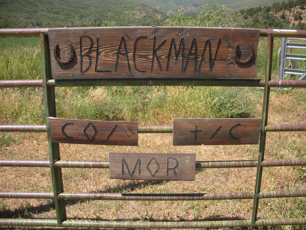
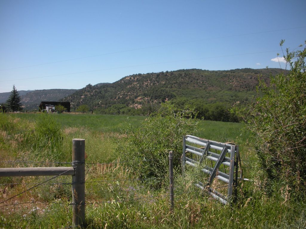
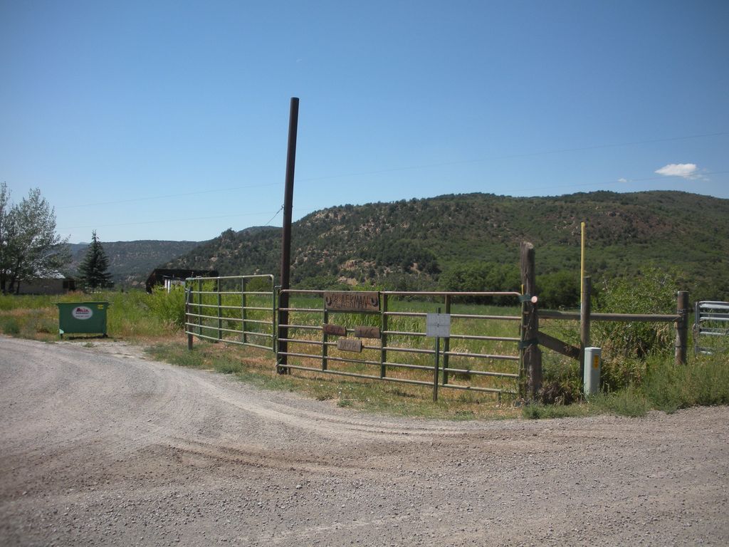
| Location | : | Collbran, Mesa County, USA |
| Coordinate | : | 39.2647420, -107.8554350 |
| Description | : | Blackburn Ranch Cemetery is not actually in Collbran, but that is the closest town to it. Located at Brush Creek, east of the town of Collbran, Mesa County, Colorado |
frequently asked questions (FAQ):
-
Where is Blackman Ranch Cemetery?
Blackman Ranch Cemetery is located at Collbran, Mesa County ,Colorado ,USA.
-
Blackman Ranch Cemetery cemetery's updated grave count on graveviews.com?
0 memorials
-
Where are the coordinates of the Blackman Ranch Cemetery?
Latitude: 39.2647420
Longitude: -107.8554350
Nearby Cemetories:
1. Clover Cemetery
Collbran, Mesa County, USA
Coordinate: 39.2550011, -107.9227982
2. Cedar Crest Cemetery
Collbran, Mesa County, USA
Coordinate: 39.2369003, -107.9589005
3. Eagalite Cemetery
Plateau City, Mesa County, USA
Coordinate: 39.2228012, -107.9894028
4. Molina Cemetery
Molina, Mesa County, USA
Coordinate: 39.1886000, -108.0629000
5. Battlement Cemetery
Parachute, Garfield County, USA
Coordinate: 39.4380989, -108.0291977
6. Rulison Cemetery
Rulison, Garfield County, USA
Coordinate: 39.4768000, -107.9357000
7. Mesa Cemetery
Mesa, Mesa County, USA
Coordinate: 39.1685982, -108.1188965
8. Russey-Hurlburt Cemetery
Parachute, Garfield County, USA
Coordinate: 39.4522018, -108.0575027
9. Union Divide Creek Cemetery
Silt, Garfield County, USA
Coordinate: 39.4508018, -107.6200027
10. Rose Hill Cemetery
Rifle, Garfield County, USA
Coordinate: 39.5381012, -107.7742004
11. DeBeque Cemetery
Mesa County, USA
Coordinate: 39.3374060, -108.2138900
12. Skyline Cemetery
Silt, Garfield County, USA
Coordinate: 39.5520060, -107.6575300
13. Cedaredge Cemetery
Cedaredge, Delta County, USA
Coordinate: 38.8884470, -107.9287560
14. Highland Cemetery
New Castle, Garfield County, USA
Coordinate: 39.5875015, -107.5192032
15. Eckert Cemetery
Eckert, Delta County, USA
Coordinate: 38.8466660, -107.9593110
16. Marion Cemetery
Garfield County, USA
Coordinate: 39.3689003, -107.3047028
17. Bethlehem Cemetery
Paonia, Delta County, USA
Coordinate: 38.8638992, -107.6216965
18. Somerset Cemetery
Somerset, Gunnison County, USA
Coordinate: 38.9284000, -107.4702000
19. Palisade Cemetery
Palisade, Mesa County, USA
Coordinate: 39.0999000, -108.3980000
20. Cedar Hill Cemetery
Paonia, Delta County, USA
Coordinate: 38.8569050, -107.6022980
21. Riverside Cemetery
Hotchkiss, Delta County, USA
Coordinate: 38.7972832, -107.7343369
22. Hillside Cemetery
Redstone, Pitkin County, USA
Coordinate: 39.1843300, -107.2418900
23. Rosebud Cemetery
Glenwood Springs, Garfield County, USA
Coordinate: 39.5168991, -107.3189011
24. Cory Cemetery
Delta, Delta County, USA
Coordinate: 38.7905080, -107.9894160