
| Memorials | : | 2 |
| Location | : | Randolph, Kennebec County, USA |
| Coordinate | : | 44.2418040, -69.7661290 |
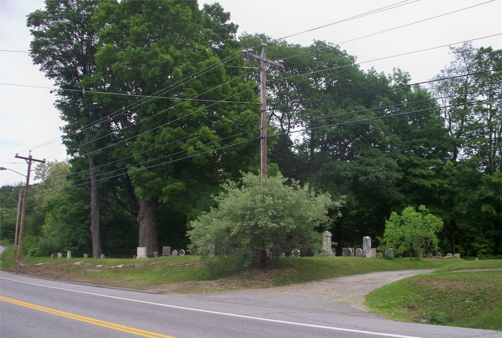
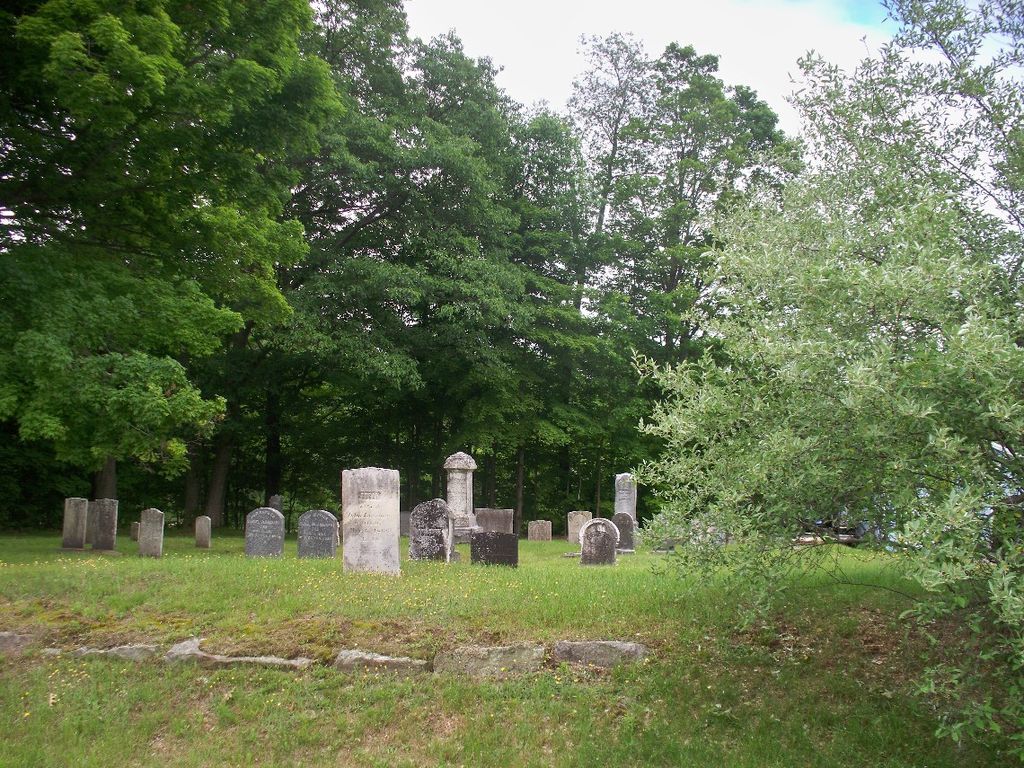
| Description | : | Blanchard Cemetery is a small cemetery in Randolph, Kennebec County, Maine on Water Street (Route 9), about 1/2 mile north of Maple Grove Cemetery in Randolph. It is near the east bank of the Kennebec River. |
frequently asked questions (FAQ):
-
Where is Blanchard Cemetery?
Blanchard Cemetery is located at Water Street (near 76) Randolph, Kennebec County ,Maine , 04346USA.
-
Blanchard Cemetery cemetery's updated grave count on graveviews.com?
2 memorials
-
Where are the coordinates of the Blanchard Cemetery?
Latitude: 44.2418040
Longitude: -69.7661290
Nearby Cemetories:
1. Maple Grove Cemetery
Randolph, Kennebec County, USA
Coordinate: 44.2336006, -69.7667007
2. Maine Avenue Cemetery
Farmingdale, Kennebec County, USA
Coordinate: 44.2522011, -69.7742004
3. Christ Church Cemetery
Gardiner, Kennebec County, USA
Coordinate: 44.2274400, -69.7744800
4. Maple Grove Cemetery Extension
Randolph, Kennebec County, USA
Coordinate: 44.2345500, -69.7412300
5. Plaisted Cemetery
Gardiner, Kennebec County, USA
Coordinate: 44.2310982, -69.7889023
6. Oak Grove Cemetery
Gardiner, Kennebec County, USA
Coordinate: 44.2196999, -69.7769012
7. Saint Josephs Cemetery
Gardiner, Kennebec County, USA
Coordinate: 44.2186012, -69.7761002
8. Morrill Cemetery
Chelsea, Kennebec County, USA
Coordinate: 44.2449390, -69.7242800
9. Northern Avenue Cemetery
Farmingdale, Kennebec County, USA
Coordinate: 44.2456470, -69.8099670
10. Goodwin Cemetery
Chelsea, Kennebec County, USA
Coordinate: 44.2765700, -69.7735400
11. Lapham Cemetery
Pittston, Kennebec County, USA
Coordinate: 44.2048003, -69.7573080
12. King Burial Plot
Pittston, Kennebec County, USA
Coordinate: 44.2216852, -69.7210022
13. Soper Cemetery
Pittston, Kennebec County, USA
Coordinate: 44.1989800, -69.7556900
14. Littlefield Cemetery
Chelsea, Kennebec County, USA
Coordinate: 44.2855800, -69.7792900
15. Searls Mills Cemetery
Chelsea, Kennebec County, USA
Coordinate: 44.2501300, -69.7035400
16. Chelsea Heights Cemetery
Chelsea, Kennebec County, USA
Coordinate: 44.2869100, -69.7768400
17. Douglas Cemetery
Chelsea, Kennebec County, USA
Coordinate: 44.2504500, -69.7024300
18. Riverside Cemetery
Pittston, Kennebec County, USA
Coordinate: 44.1952970, -69.7512740
19. Ripps Cemetery
West Gardiner, Kennebec County, USA
Coordinate: 44.2098500, -69.8180800
20. Trask Cemetery
Chelsea, Kennebec County, USA
Coordinate: 44.2770050, -69.7168670
21. Putnam Cemetery
Pittston, Kennebec County, USA
Coordinate: 44.2213200, -69.7000300
22. Davenport Cemetery
Chelsea, Kennebec County, USA
Coordinate: 44.2933200, -69.7741700
23. Togus National Cemetery
Togus, Kennebec County, USA
Coordinate: 44.2764000, -69.7116400
24. Hallowell Village Cemetery
Hallowell, Kennebec County, USA
Coordinate: 44.2928009, -69.7861023