
| Memorials | : | 2 |
| Location | : | Pittston, Kennebec County, USA |
| Coordinate | : | 44.2216852, -69.7210022 |
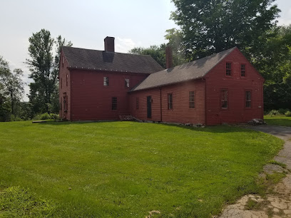
| Description | : | It is a private burial plot as described in: A History of Pittston, Maine by: Rundlette Kensell Palmer, 1979. On page 312 it is described as follows: "On Route 126 in North Pittston, going west from the Pinkham Road, at the third house on the right, in this year of 1979, sits a plot directly west of the house by about 100 yards and at the edge of the field by a stone wall and surrounded by fairly large Hackmatacks. This plot is about 40 feet long and 15 feet wide and contains indentations of approximately 15 graves with the head and footstone... Read More |
frequently asked questions (FAQ):
-
Where is King Burial Plot?
King Burial Plot is located at 414 Whitefield Rd Pittston, Kennebec County ,Maine , 04345USA.
-
King Burial Plot cemetery's updated grave count on graveviews.com?
2 memorials
-
Where are the coordinates of the King Burial Plot?
Latitude: 44.2216852
Longitude: -69.7210022
Nearby Cemetories:
1. Putnam Cemetery
Pittston, Kennebec County, USA
Coordinate: 44.2213200, -69.7000300
2. Maple Grove Cemetery Extension
Randolph, Kennebec County, USA
Coordinate: 44.2345500, -69.7412300
3. Morrill Cemetery
Chelsea, Kennebec County, USA
Coordinate: 44.2449390, -69.7242800
4. Lapham Cemetery
Pittston, Kennebec County, USA
Coordinate: 44.2048003, -69.7573080
5. Searls Mills Cemetery
Chelsea, Kennebec County, USA
Coordinate: 44.2501300, -69.7035400
6. Blair Burying Ground
East Pittston, Kennebec County, USA
Coordinate: 44.2030000, -69.6863000
7. Douglas Cemetery
Chelsea, Kennebec County, USA
Coordinate: 44.2504500, -69.7024300
8. Goodspeed Cemetery
Pittston, Kennebec County, USA
Coordinate: 44.1927986, -69.6994019
9. Soper Cemetery
Pittston, Kennebec County, USA
Coordinate: 44.1989800, -69.7556900
10. Riverside Cemetery
Pittston, Kennebec County, USA
Coordinate: 44.1952970, -69.7512740
11. Maple Grove Cemetery
Randolph, Kennebec County, USA
Coordinate: 44.2336006, -69.7667007
12. Blanchard Cemetery
Randolph, Kennebec County, USA
Coordinate: 44.2418040, -69.7661290
13. Christ Church Cemetery
Gardiner, Kennebec County, USA
Coordinate: 44.2274400, -69.7744800
14. Saint Josephs Cemetery
Gardiner, Kennebec County, USA
Coordinate: 44.2186012, -69.7761002
15. Oak Grove Cemetery
Gardiner, Kennebec County, USA
Coordinate: 44.2196999, -69.7769012
16. Brookings Cemetery
Whitefield, Lincoln County, USA
Coordinate: 44.2186040, -69.6583170
17. South Gardiner Cemetery
South Gardiner, Kennebec County, USA
Coordinate: 44.1843987, -69.7585983
18. Maine Avenue Cemetery
Farmingdale, Kennebec County, USA
Coordinate: 44.2522011, -69.7742004
19. Plaisted Cemetery
Gardiner, Kennebec County, USA
Coordinate: 44.2310982, -69.7889023
20. Old East Pittston Cemetery
Pittston, Kennebec County, USA
Coordinate: 44.1838100, -69.6757000
21. Mount Hope Cemetery
South Gardiner, Kennebec County, USA
Coordinate: 44.1794014, -69.7592010
22. Chase-Riverside Cemetery
Chelsea, Kennebec County, USA
Coordinate: 44.2698700, -69.6958300
23. Maple Grove Cemetery
Pittston, Kennebec County, USA
Coordinate: 44.1806040, -69.6721170
24. Togus National Cemetery
Togus, Kennebec County, USA
Coordinate: 44.2764000, -69.7116400