
| Memorials | : | 0 |
| Location | : | Bedford County, USA |
| Coordinate | : | 40.2825210, -78.4297870 |
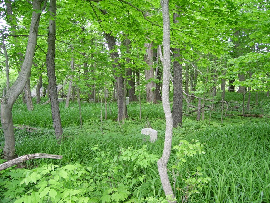
| Description | : | Located in Bloomfield Twp., Bedford Co., Pa. From I-99 take exit 15 toward Claysburg/King Turn right onto Sproul Mountain Road to State Rte 1042. Alternate Directions From Bakers Summit travel North on Rte 865 until you come to Rte 1042 (about one mile) on the left that will cross the mountain to Sproul. Take Rte 1042 about one mile toward the mountain. When the road curves to the left, look across the field on the left. In the woods is the Bloomfield Furnace Cemetery. It touches the Ben Slick Farm which was the location of the Bloomfield Furnace Iron Industry |
frequently asked questions (FAQ):
-
Where is Bloomfield Furnace Cemetery?
Bloomfield Furnace Cemetery is located at Bedford County ,Pennsylvania ,USA.
-
Bloomfield Furnace Cemetery cemetery's updated grave count on graveviews.com?
0 memorials
-
Where are the coordinates of the Bloomfield Furnace Cemetery?
Latitude: 40.2825210
Longitude: -78.4297870
Nearby Cemetories:
1. Old Claysburg Cemetery
Claysburg, Blair County, USA
Coordinate: 40.2912200, -78.4523500
2. Claysburg Union Cemetery
Claysburg, Blair County, USA
Coordinate: 40.2908800, -78.4542500
3. Sproul Union Cemetery
Sproul, Blair County, USA
Coordinate: 40.2733955, -78.4585190
4. Fairview Cemetery
Claysburg, Blair County, USA
Coordinate: 40.3049100, -78.4544000
5. Long Family Cemetery
Bakers Summit, Bedford County, USA
Coordinate: 40.2513000, -78.4220000
6. Holsinger Cemetery
Bakers Summit, Bedford County, USA
Coordinate: 40.2454185, -78.4240265
7. Albright Church of the Brethren Cemetery
Roaring Spring, Blair County, USA
Coordinate: 40.3223000, -78.4049000
8. Noggle Cemetery
Roaring Spring, Blair County, USA
Coordinate: 40.2902985, -78.3719025
9. Greenfield Cemetery
Queen, Bedford County, USA
Coordinate: 40.2599000, -78.4850000
10. Barley Lutheran Church Cemetery
Bakers Summit, Bedford County, USA
Coordinate: 40.2343000, -78.4277000
11. Lower Claar Church of the Brethren Cemetery
Claysburg, Blair County, USA
Coordinate: 40.2858000, -78.4986000
12. Saint Mark's Cemetery
King, Bedford County, USA
Coordinate: 40.2374400, -78.4672900
13. Feather Cemetery
East Freedom, Blair County, USA
Coordinate: 40.3388574, -78.4585619
14. Greenlawn Cemetery
Roaring Spring, Blair County, USA
Coordinate: 40.3389882, -78.4000361
15. Kauffman Cemetery
Curryville, Blair County, USA
Coordinate: 40.2804260, -78.3500080
16. Mock-Moses Cemetery
East Freedom, Blair County, USA
Coordinate: 40.3419500, -78.4482600
17. Rodman Cemetery
Roaring Spring, Blair County, USA
Coordinate: 40.3424720, -78.4066770
18. Replogle Cemetery at Waterside
Loysburg, Bedford County, USA
Coordinate: 40.2390000, -78.3672000
19. Upper Claar Cemetery
Queen, Bedford County, USA
Coordinate: 40.2870000, -78.5147000
20. Snyder Cemetery
Bakers Summit, Bedford County, USA
Coordinate: 40.2177410, -78.4195630
21. Rhodes Graveyard
East Sharpsburg, Blair County, USA
Coordinate: 40.3375000, -78.3761000
22. Dodsons Graveyard
East Freedom, Blair County, USA
Coordinate: 40.3401900, -78.4835000
23. Musselman Cemetery
East Freedom, Blair County, USA
Coordinate: 40.3402200, -78.4839200
24. East Sharpsburg Cemetery
East Sharpsburg, Blair County, USA
Coordinate: 40.3381000, -78.3690000