
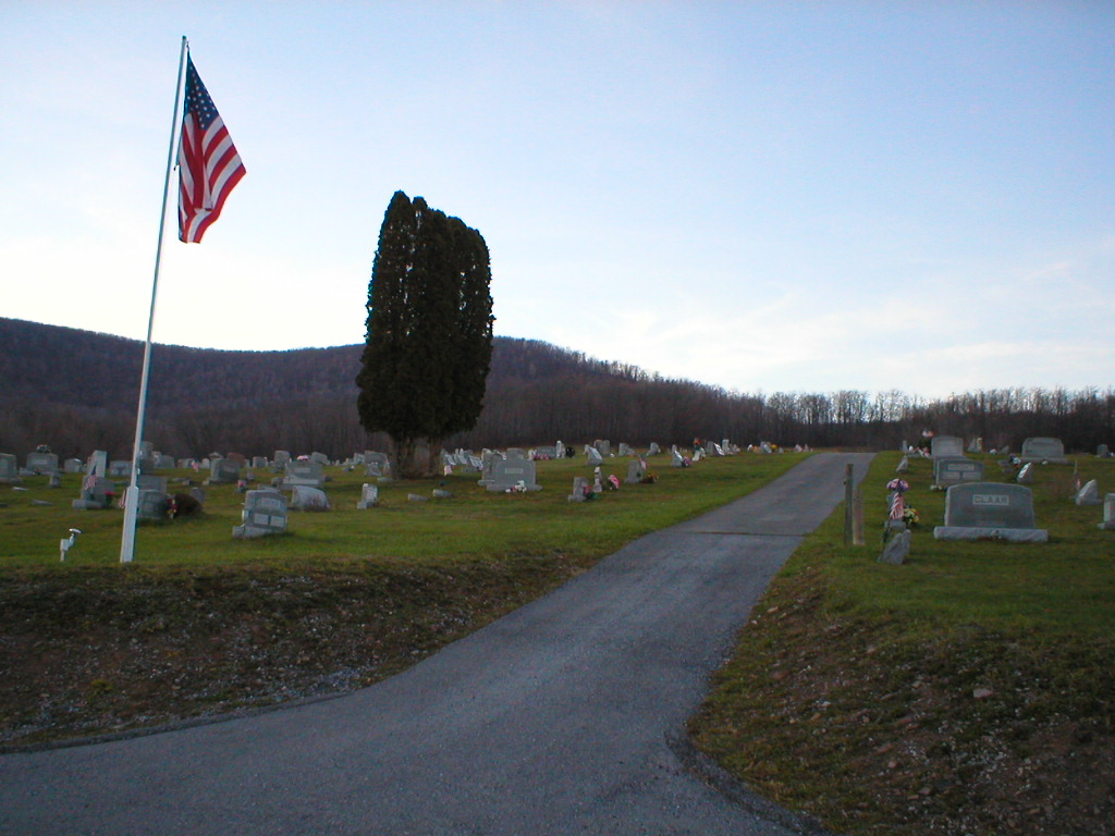
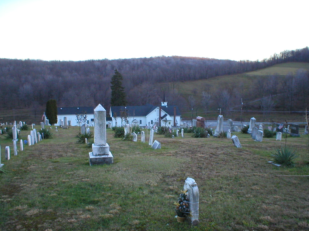
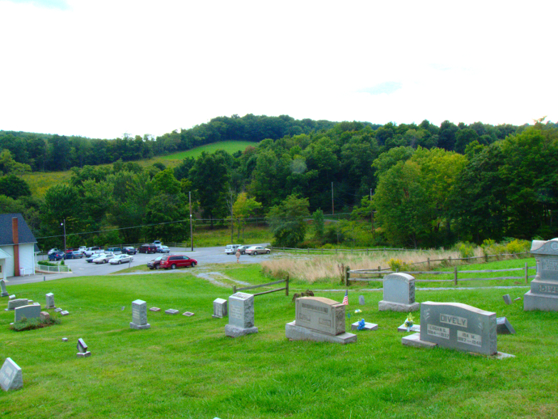
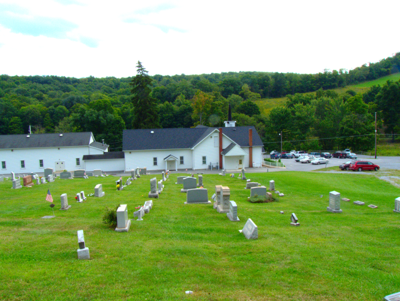
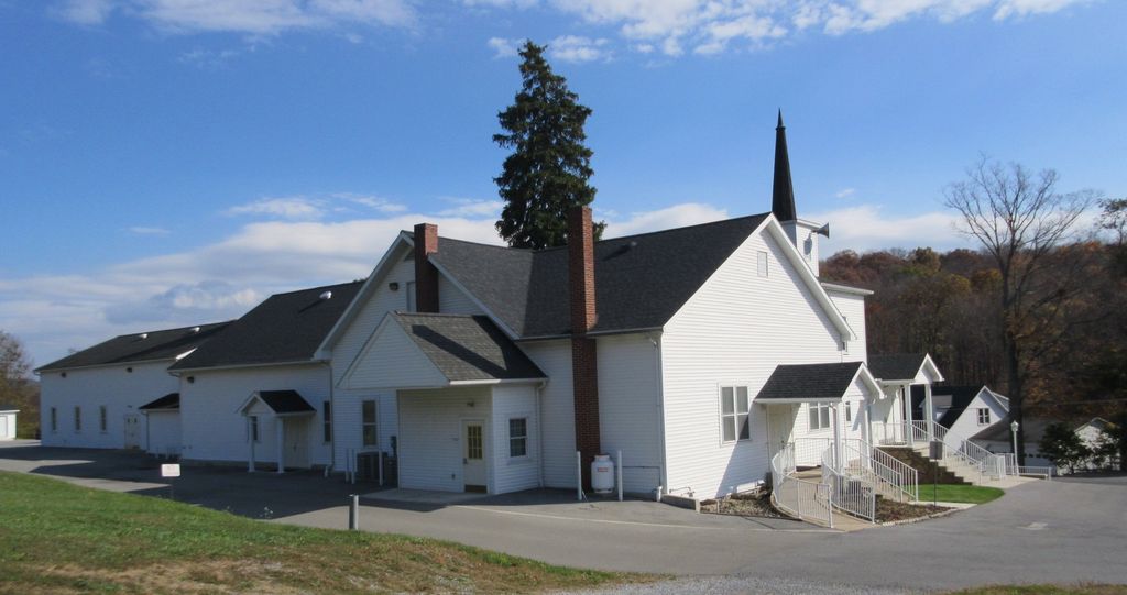
| Memorials | : | 0 |
| Location | : | Queen, Bedford County, USA |
| Phone | : | (814) 239-5449 |
| Coordinate | : | 40.2870000, -78.5147000 |
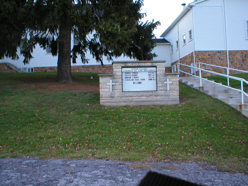
| Description | : | Upper Claar is in Bedford County, just over the county line and Lower Claar is in Blair County. |
frequently asked questions (FAQ):
-
Where is Upper Claar Cemetery?
Upper Claar Cemetery is located at 405 Upper Claar Road Queen, Bedford County ,Pennsylvania ,USA.
-
Upper Claar Cemetery cemetery's updated grave count on graveviews.com?
0 memorials
-
Where are the coordinates of the Upper Claar Cemetery?
Latitude: 40.2870000
Longitude: -78.5147000


Nearby Cemetories:
1. Lower Claar Church of the Brethren Cemetery
Claysburg, Blair County, USA
Coordinate: 40.2858000, -78.4986000
2. Burk Cemetery
Queen, Bedford County, USA
Coordinate: 40.2813710, -78.5343690
3. Stiefler Cemetery
Blue Knob, Bedford County, USA
Coordinate: 40.2733002, -78.5363998
4. Greenfield Cemetery
Queen, Bedford County, USA
Coordinate: 40.2599000, -78.4850000
5. Sproul Union Cemetery
Sproul, Blair County, USA
Coordinate: 40.2733955, -78.4585190
6. Claysburg Union Cemetery
Claysburg, Blair County, USA
Coordinate: 40.2908800, -78.4542500
7. Old Claysburg Cemetery
Claysburg, Blair County, USA
Coordinate: 40.2912200, -78.4523500
8. Fairview Cemetery
Claysburg, Blair County, USA
Coordinate: 40.3049100, -78.4544000
9. Mount Hope Cemetery
Blair County, USA
Coordinate: 40.3167970, -78.5729120
10. Musselman Cemetery
East Freedom, Blair County, USA
Coordinate: 40.3402200, -78.4839200
11. Dodsons Graveyard
East Freedom, Blair County, USA
Coordinate: 40.3401900, -78.4835000
12. Mount Zion Cemetery
Pavia, Bedford County, USA
Coordinate: 40.2613525, -78.5844879
13. Saint Mark's Cemetery
King, Bedford County, USA
Coordinate: 40.2374400, -78.4672900
14. Bloomfield Furnace Cemetery
Bedford County, USA
Coordinate: 40.2825210, -78.4297870
15. Feather Cemetery
East Freedom, Blair County, USA
Coordinate: 40.3388574, -78.4585619
16. Blue Knob Cemetery
Juniata Township, Blair County, USA
Coordinate: 40.3541930, -78.5535390
17. Smith Family Cemetery
East Freedom, Blair County, USA
Coordinate: 40.3584280, -78.4883720
18. Mock-Moses Cemetery
East Freedom, Blair County, USA
Coordinate: 40.3419500, -78.4482600
19. Imler Valley Cemetery
Imler, Bedford County, USA
Coordinate: 40.2105713, -78.5224533
20. Long Family Cemetery
Bakers Summit, Bedford County, USA
Coordinate: 40.2513000, -78.4220000
21. Holsinger Cemetery
Bakers Summit, Bedford County, USA
Coordinate: 40.2454185, -78.4240265
22. Mount Moriah Cemetery
Blair County, USA
Coordinate: 40.3539000, -78.5745000
23. Imler Saint Paul Brethren Cemetery
Imler, Bedford County, USA
Coordinate: 40.2059937, -78.5238647
24. Fickes Cemetery
King, Bedford County, USA
Coordinate: 40.2074410, -78.4919870