
| Memorials | : | 8 |
| Location | : | Verdella, Barton County, USA |
| Coordinate | : | 37.6301220, -94.3785450 |
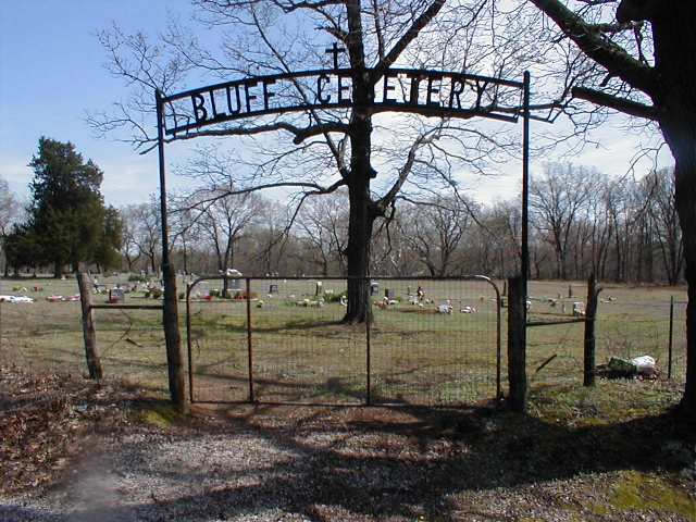
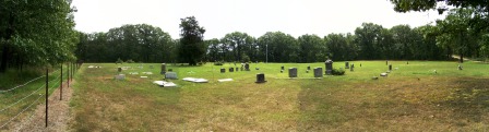
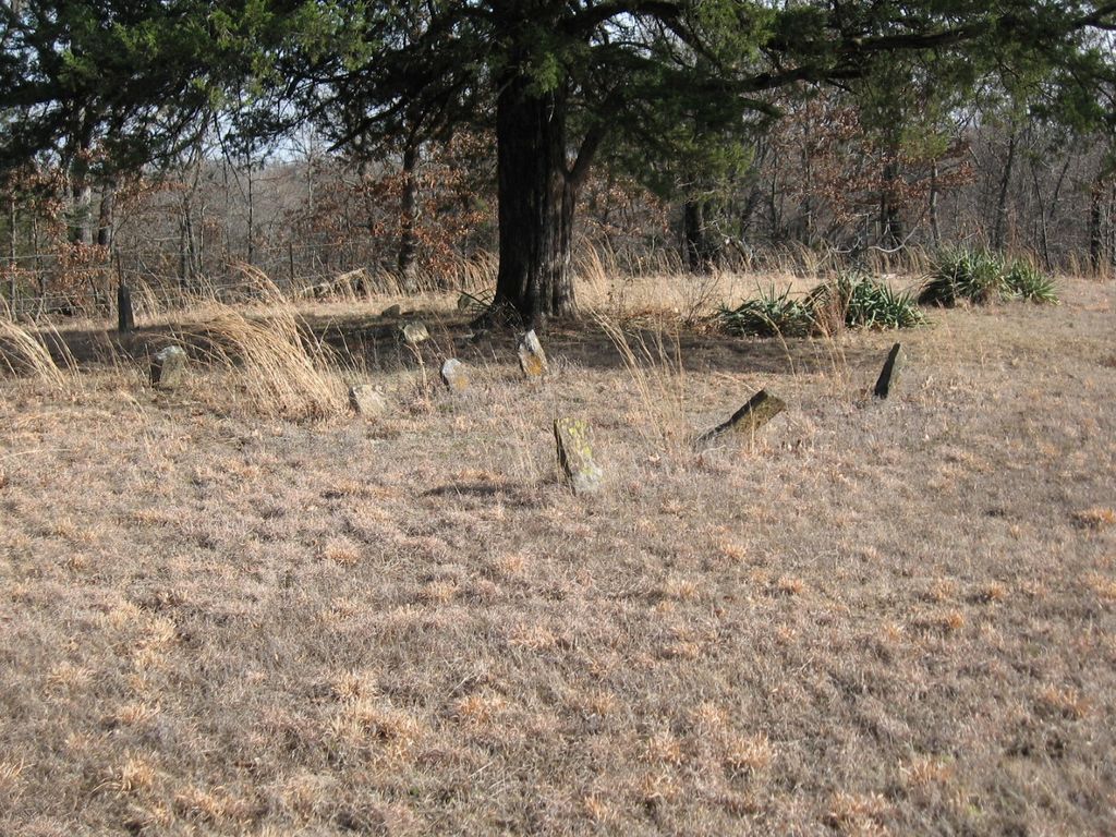
| Description | : | This cemetery is very old and is still in use. Upkeep is good. From Highway 43 turn east on NW 70 Rd. (V Highway) and go 5 miles east. Turn north on NW 50th Lane and go just over 1.5 miles to the end of this road and cemetery is there. |
frequently asked questions (FAQ):
-
Where is Bluff Cemetery?
Bluff Cemetery is located at Verdella, Barton County ,Missouri ,USA.
-
Bluff Cemetery cemetery's updated grave count on graveviews.com?
8 memorials
-
Where are the coordinates of the Bluff Cemetery?
Latitude: 37.6301220
Longitude: -94.3785450
Nearby Cemetories:
1. Bakers Grove Cemetery
Barton County, USA
Coordinate: 37.6063995, -94.3516998
2. Barton City Cemetery
Liberal, Barton County, USA
Coordinate: 37.5774994, -94.4721985
3. Iantha Cemetery
Iantha, Barton County, USA
Coordinate: 37.5250015, -94.4049988
4. Liberal City Cemetery
Liberal, Barton County, USA
Coordinate: 37.5621986, -94.5057983
5. Nigh Cemetery
Lamar, Barton County, USA
Coordinate: 37.5341988, -94.2643967
6. Shiloh Cemetery
Liberal, Barton County, USA
Coordinate: 37.6455994, -94.5563965
7. Doylesport Cemetery
Doylesport Township, Barton County, USA
Coordinate: 37.6150400, -94.1943800
8. Saint Marys Cemetery
Lamar Heights, Barton County, USA
Coordinate: 37.4958000, -94.2968979
9. Lake Cemetery
Lamar Heights, Barton County, USA
Coordinate: 37.4956017, -94.2957993
10. Leroy Cemetery
Barton County, USA
Coordinate: 37.6246986, -94.5753021
11. Barton County Poor Farm Cemetery
Lamar, Barton County, USA
Coordinate: 37.4754500, -94.3248900
12. East Side Cemetery
Lamar, Barton County, USA
Coordinate: 37.4878006, -94.2619019
13. Memory Gardens Cemetery
Lamar, Barton County, USA
Coordinate: 37.4854000, -94.2663900
14. Oak Grove Cemetery
Oakton, Barton County, USA
Coordinate: 37.4556007, -94.3544006
15. Howell Cemetery
Milford, Barton County, USA
Coordinate: 37.5621986, -94.1583023
16. Cook Cemetery
Milford, Barton County, USA
Coordinate: 37.5461130, -94.1567370
17. Saint James Cemetery
Milford, Barton County, USA
Coordinate: 37.6282020, -94.1323610
18. Old Arcadia Cemetery
Arcadia, Crawford County, USA
Coordinate: 37.6539001, -94.6271973
19. Apostolic Christian Cemetery
Barton County, USA
Coordinate: 37.4301340, -94.4050990
20. Fair View Cemetery
Barton County, USA
Coordinate: 37.4914017, -94.1864014
21. Rosebank Cemetery
Mulberry, Crawford County, USA
Coordinate: 37.5518990, -94.6194000
22. Arcadia Catholic Cemetery
Arcadia, Crawford County, USA
Coordinate: 37.6441100, -94.6391100
23. Pleasant Valley Cemetery
Arcadia, Crawford County, USA
Coordinate: 37.6302480, -94.6481540
24. Forest Grove Cemetery
Lamar, Barton County, USA
Coordinate: 37.4338500, -94.2606400