
| Memorials | : | 0 |
| Location | : | Bodo, Bodø kommune, Norway |
| Coordinate | : | 67.2733150, 14.3837860 |
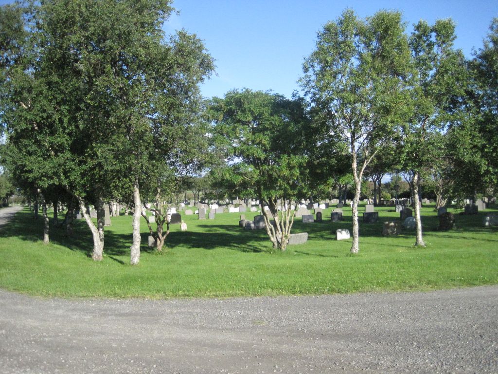
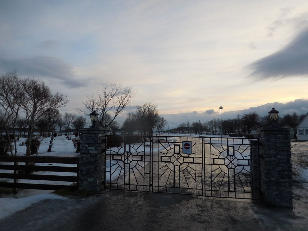
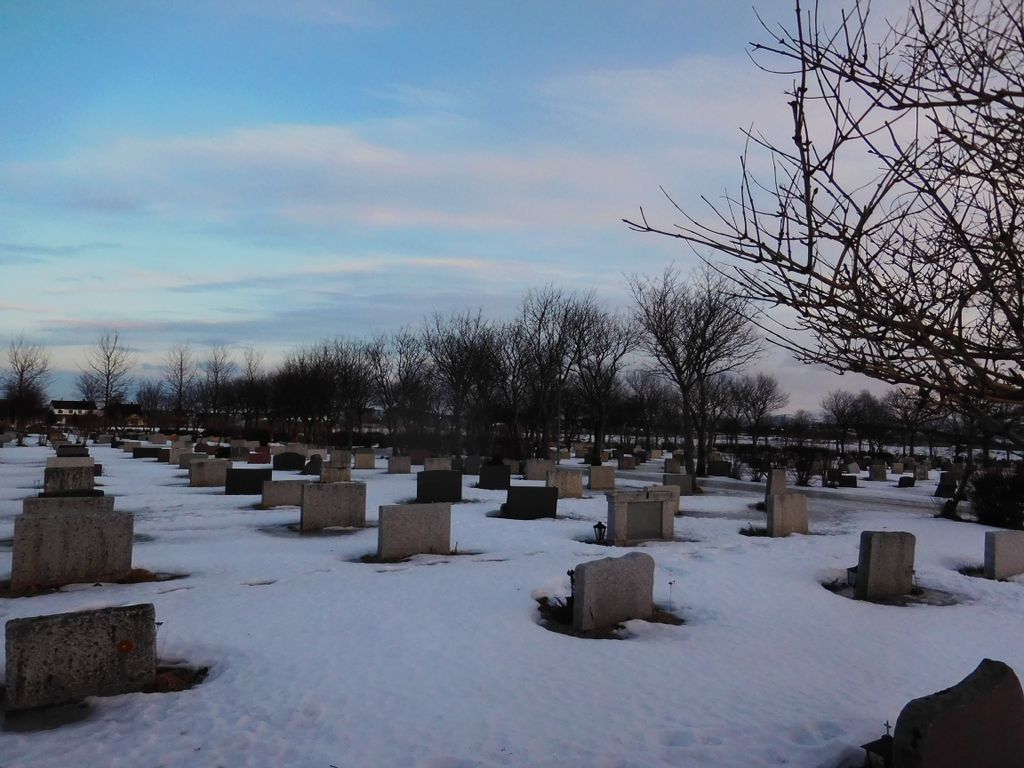
| Description | : | Bodo is a port on the north west coast of Norway. Branch off the main E6 route on to route 80 signposted to Bodo. At the junction where the town centre is signposted straight ahead and Bodo airport is signed to the left, follow the airport sign on to Olav V Gate. Continue on this road to the third roundabout, turn left here and the cemetery entrance is in front of you. From the entrance gate follow the path past the chapel for approximately 150 metres to the T junction. For the Second World War plot turn left and follow... Read More |
frequently asked questions (FAQ):
-
Where is Bodø Cemetery?
Bodø Cemetery is located at Bodo, Bodø kommune ,Nordland fylke ,Norway.
-
Bodø Cemetery cemetery's updated grave count on graveviews.com?
0 memorials
-
Where are the coordinates of the Bodø Cemetery?
Latitude: 67.2733150
Longitude: 14.3837860
Nearby Cemetories:
1. Bodin Cemetery
Bodo, Bodø kommune, Norway
Coordinate: 67.2753500, 14.4365100
2. Saltstraumen Cemetery
Knapplund, Bodø kommune, Norway
Coordinate: 67.2325300, 14.6279100
3. Saura Cemetery
Inndyr, Gildeskål kommune, Norway
Coordinate: 67.1019720, 14.2847510
4. Fauske Churchyard
Fauske, Fauske kommune, Norway
Coordinate: 67.2570200, 15.3726540
5. Saltdal Main Churchyard
Rognan, Saltdal kommune, Norway
Coordinate: 67.1020400, 15.4062470
6. Botn-Rognan German Cemetery
Rognan, Saltdal kommune, Norway
Coordinate: 67.0936190, 15.4732520
7. Røsvik Old Cemetery
Rosvik, Sørfold kommune, Norway
Coordinate: 67.4808430, 15.4679960
8. Øvre Saltdal
Saltdal kommune, Norway
Coordinate: 66.9640472, 15.3122169
9. Meløy Cemetery
Meloy, Øksnes kommune, Norway
Coordinate: 66.8235340, 13.4066030
10. Osa
Osa, Meløy kommune, Norway
Coordinate: 66.7755000, 13.5389020
11. Halsa Gamle gravgård
Halsa i Helgeland, Meløy kommune, Norway
Coordinate: 66.7438758, 13.5787890
12. Steigen
Steigen, Steigen kommune, Norway
Coordinate: 67.9363540, 14.9793580
13. Rødøyvika Cemetery (gravgård)
Rodoy, Rødøy kommune, Norway
Coordinate: 66.6605000, 13.0787000
14. Petvik
Pettvika, Vestvågøy kommune, Norway
Coordinate: 68.1021850, 13.6560090
15. Buksnes Cemetery
Gravdal, Vestvågøy kommune, Norway
Coordinate: 68.1171570, 13.5650470
16. Flakstad Old Cemetery
Vareid, Flakstad kommune, Norway
Coordinate: 68.1044590, 13.2984600
17. Ytteren
Rana kommune, Norway
Coordinate: 66.3458870, 14.1294110
18. Kabelvaag
Kabelvag, Vågan kommune, Norway
Coordinate: 68.2155210, 14.4788410
19. Mo I Rana Churchyard
Mo i Rana, Rana kommune, Norway
Coordinate: 66.3099600, 14.1436480
20. Svolvær Kirkegård
Svolvaer, Vågan kommune, Norway
Coordinate: 68.2434528, 14.5811509
21. Gimsøy Kirkegaard
Vågan kommune, Norway
Coordinate: 68.3205485, 14.2407991
22. Hemnes Cemetery
Hemnesberget, Hemnes kommune, Norway
Coordinate: 66.2277860, 13.6164320
23. Strandlandet Kirkegård
Laukvik i Lofoten, Vågan kommune, Norway
Coordinate: 68.3813976, 14.4690575
24. Bjerka øvre
Bjerka, Hemnes kommune, Norway
Coordinate: 66.1540260, 13.8576180