
| Memorials | : | 0 |
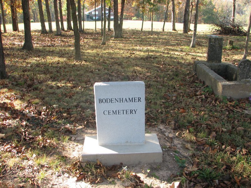
| Location | : | Greene County, USA |
| Coordinate | : | 37.2153015, -93.1841965 |
| Description | : | Highway 65 to Division (YY) go (east). Make right turn onto Farmroad 199 go (South). It is past Fox grove Lane. It is on the right hand side of the road. You can pass it very quickly if you are not watching for it. |
frequently asked questions (FAQ):
-
Where is Bodenhamer Cemetery?
Bodenhamer Cemetery is located at Greene County ,Missouri ,USA.
-
Bodenhamer Cemetery cemetery's updated grave count on graveviews.com?
0 memorials
-
Where are the coordinates of the Bodenhamer Cemetery?
Latitude: 37.2153015
Longitude: -93.1841965

Nearby Cemetories:
1. Parsley Cemetery
Greene County, USA
Coordinate: 37.2078018, -93.1688995
2. Webb Cemetery
Springfield, Greene County, USA
Coordinate: 37.1972008, -93.1791992
3. Roberts Cemetery
Greene County, USA
Coordinate: 37.1932983, -93.1975021
4. Danforth Cemetery
Strafford, Greene County, USA
Coordinate: 37.2368850, -93.1554670
5. Pursley Cemetery
Turners, Greene County, USA
Coordinate: 37.1819000, -93.1731033
6. Nancy Haden Grave
Springfield, Greene County, USA
Coordinate: 37.1868520, -93.2127710
7. Danforth Family Cemetery
Strafford, Greene County, USA
Coordinate: 37.2403000, -93.1480000
8. Ira Combs Cemetery
Jeff, Perry County, USA
Coordinate: 37.2088640, -93.1350540
9. Hancock-Morton-Westmoreland Cemetery
Greene County, USA
Coordinate: 37.2489014, -93.2133026
10. Smith Family Cemetery
Turners, Greene County, USA
Coordinate: 37.1950360, -93.1355210
11. Galbraith Cemetery
Turners, Greene County, USA
Coordinate: 37.1950660, -93.1350620
12. McCraw Cemetery
Turners, Greene County, USA
Coordinate: 37.1946983, -93.1352997
13. Stout-Breedlove Cemetery
Springfield, Greene County, USA
Coordinate: 37.1719100, -93.1639770
14. Potter Cemetery
Springfield, Greene County, USA
Coordinate: 37.2317009, -93.1271973
15. Kershner Cemetery
Greene County, USA
Coordinate: 37.1650009, -93.1875000
16. Simpson Cemetery
Springfield, Greene County, USA
Coordinate: 37.1646940, -93.2049180
17. Eastlawn Cemetery
Springfield, Greene County, USA
Coordinate: 37.2155991, -93.2514038
18. Lincoln Memorial Park Cemetery
Springfield, Greene County, USA
Coordinate: 37.2108002, -93.2518997
19. Union Campground Cemetery
Springfield, Greene County, USA
Coordinate: 37.2609400, -93.2234000
20. Fielder Langston Cemetery
Springfield, Greene County, USA
Coordinate: 37.1873700, -93.2479700
21. Potter Family Cemetery
Strafford, Greene County, USA
Coordinate: 37.2656517, -93.1362610
22. Saint James Episcopal Church Columbarium
Springfield, Greene County, USA
Coordinate: 37.1704300, -93.2428700
23. Oak Grove Heights Cemetery
Springfield, Greene County, USA
Coordinate: 37.1746788, -93.1200333
24. Kirkwood Cemetery
Greene County, USA
Coordinate: 37.1744003, -93.2517014