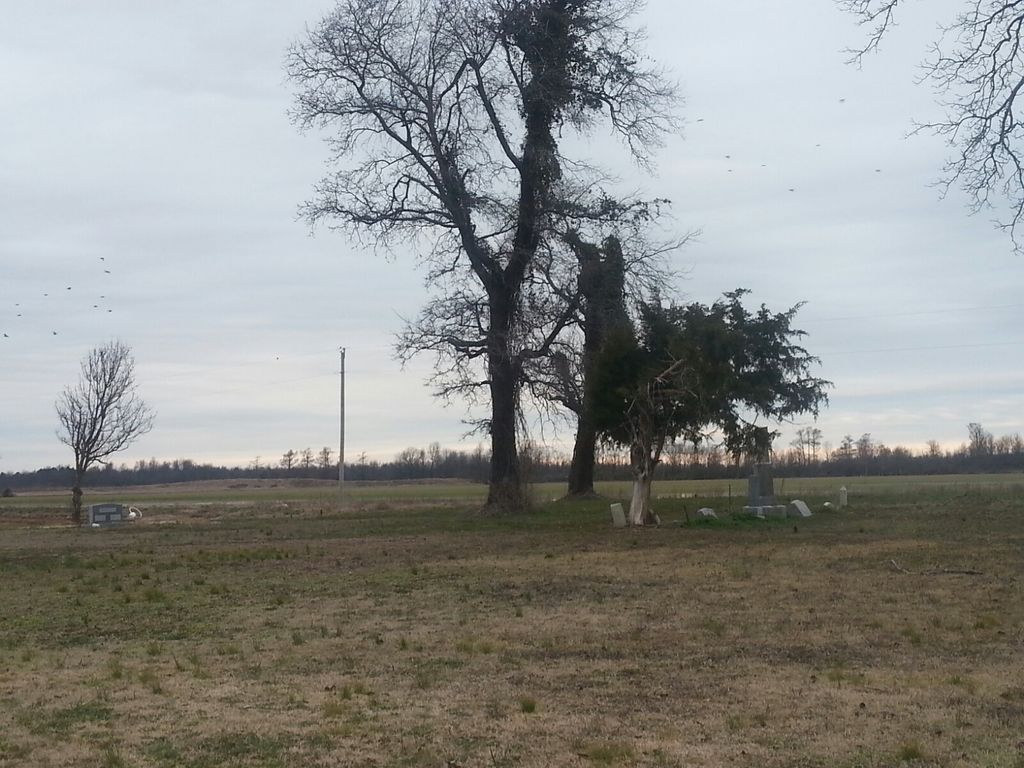
| Memorials | : | 0 |
| Location | : | Greene County, USA |
| Coordinate | : | 36.1885986, -90.7144012 |
| Description | : | Evening Star off 34 Hwy Cr 240 |
frequently asked questions (FAQ):
-
Where is Bond Cemetery?
Bond Cemetery is located at Greene County ,Arkansas ,USA.
-
Bond Cemetery cemetery's updated grave count on graveviews.com?
0 memorials
-
Where are the coordinates of the Bond Cemetery?
Latitude: 36.1885986
Longitude: -90.7144012
Nearby Cemetories:
1. Jones Ridge Cemetery
Delaplaine, Greene County, USA
Coordinate: 36.2305984, -90.6980972
2. Beech Grove Cemetery
Beech Grove, Greene County, USA
Coordinate: 36.1650009, -90.6243973
3. Albrite Cemetery
Greene County, USA
Coordinate: 36.2630997, -90.7482986
4. Brownie Chapel Cemetery
Peach Orchard, Clay County, USA
Coordinate: 36.2706200, -90.7085200
5. Meadows Grove Cemetery
Greene County, USA
Coordinate: 36.1938960, -90.6112310
6. Morrow Cemetery
Paragould, Greene County, USA
Coordinate: 36.1244011, -90.6446991
7. Dettry Cemetery
Beech Grove, Greene County, USA
Coordinate: 36.1267980, -90.6226100
8. Fender Cemetery
Walnut Ridge, Lawrence County, USA
Coordinate: 36.1241989, -90.8227997
9. Ford Cemetery
Randolph County, USA
Coordinate: 36.2052994, -90.8482971
10. Moore Cemetery
Greene County, USA
Coordinate: 36.0936012, -90.6455994
11. Serge Cemetery (Defunct)
Randolph County, USA
Coordinate: 36.2303009, -90.8432999
12. Pirtle Cemetery
Peach Orchard, Clay County, USA
Coordinate: 36.2957580, -90.6700160
13. Croft Cemetery
Greene County, USA
Coordinate: 36.0882988, -90.6466980
14. Liberty Cemetery
Randolph County, USA
Coordinate: 36.2207985, -90.8542023
15. Sharum Cemetery
Pocahontas, Randolph County, USA
Coordinate: 36.2207985, -90.8544006
16. Union Grove Cemetery
Greene County, USA
Coordinate: 36.1011009, -90.6166992
17. Epsaba Cemetery
Beech Grove, Greene County, USA
Coordinate: 36.1616020, -90.5686569
18. Owens Chapel Cemetery
Greene County, USA
Coordinate: 36.0903640, -90.6262950
19. Brooks Burial Plot
Sharum, Randolph County, USA
Coordinate: 36.2225300, -90.8618400
20. Beliew Cemetery
Lafe, Greene County, USA
Coordinate: 36.1860430, -90.5507140
21. Mountain Home Cemetery
Paragould, Greene County, USA
Coordinate: 36.0980000, -90.5950000
22. Allen Cemetery
Knobel, Clay County, USA
Coordinate: 36.3119011, -90.6505966
23. Warrens Chapel Methodist Church Cemetery
Walcott, Greene County, USA
Coordinate: 36.0607986, -90.6517029
24. Cherry Cemetery
Randolph County, USA
Coordinate: 36.3222008, -90.7592010


