
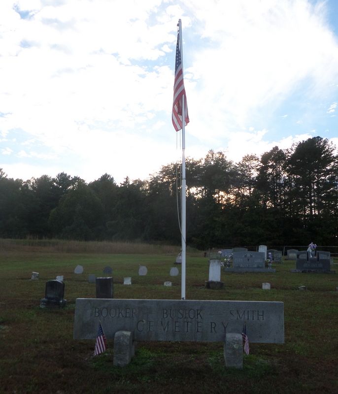
| Memorials | : | 45 |
| Location | : | Mount Airy, Surry County, USA |
| Coordinate | : | 36.5302400, -80.6638700 |
| Description | : | From the intersection of Pipers Gap Road and North Franklin Road in the Toast Community, travel approximately 2.56 miles on Pipers Gap Road; the gravel road leading to the cemetery will be on the left. |
frequently asked questions (FAQ):
-
Where is Booker-Busick-Smith Cemetery?
Booker-Busick-Smith Cemetery is located at Pipers Gap Road Mount Airy, Surry County ,North Carolina , 27030USA.
-
Booker-Busick-Smith Cemetery cemetery's updated grave count on graveviews.com?
45 memorials
-
Where are the coordinates of the Booker-Busick-Smith Cemetery?
Latitude: 36.5302400
Longitude: -80.6638700
Nearby Cemetories:
1. Zion United Methodist Cemetery
Mount Airy, Surry County, USA
Coordinate: 36.5326958, -80.6725845
2. Shining Light Baptist Cemetery
Mount Airy, Surry County, USA
Coordinate: 36.5222206, -80.6586075
3. Midway Baptist Church Cemetery
Mount Airy, Surry County, USA
Coordinate: 36.5254170, -80.6467220
4. Genesis Full Gospel Church Cemetery
Toast, Surry County, USA
Coordinate: 36.5120010, -80.6711960
5. Mount Carmel Baptist Church Cemetery
Mount Airy, Surry County, USA
Coordinate: 36.5432510, -80.6457214
6. Johnson Family Cemetery
Mount Airy, Surry County, USA
Coordinate: 36.5037500, -80.6698330
7. Creasy Family Cemetery
Mount Airy, Surry County, USA
Coordinate: 36.5131389, -80.6359722
8. Surry County Veterans Cemetery
Toast, Surry County, USA
Coordinate: 36.5052800, -80.6835300
9. Beamer Cemetery
Mount Airy, Surry County, USA
Coordinate: 36.5343060, -80.7012220
10. Antioch Baptist Church Cemetery
Toast, Surry County, USA
Coordinate: 36.5038872, -80.6841660
11. Sandy Level Cemetery
Toast, Surry County, USA
Coordinate: 36.5031013, -80.6307983
12. New Bethel Baptist South
Mount Airy, Surry County, USA
Coordinate: 36.5533870, -80.7018270
13. Mountain View Cemetery
Mount Airy, Surry County, USA
Coordinate: 36.5029660, -80.6304380
14. New Bethel Baptist Church Cemetery
Mount Airy, Surry County, USA
Coordinate: 36.5535920, -80.7020960
15. James Harding Golding Family Cemetery
Mount Airy, Surry County, USA
Coordinate: 36.5539500, -80.7023900
16. Creed Family Cemetery
Mount Airy, Surry County, USA
Coordinate: 36.4905280, -80.6525830
17. Solid Rock Baptist Church Cemetery
Cana, Carroll County, USA
Coordinate: 36.5652400, -80.6357650
18. Glass Family Memorial Cemetery
Cana, Carroll County, USA
Coordinate: 36.5652280, -80.6357090
19. Critz Family Cemetery
Surry County, USA
Coordinate: 36.4960000, -80.6339170
20. Old Hollow Primitive Baptist Church Cemetery
Toast, Surry County, USA
Coordinate: 36.4987221, -80.6281967
21. Maple Grove United Methodist Church Cemetery
Pine Ridge, Surry County, USA
Coordinate: 36.5237770, -80.7171402
22. Oak Ridge Baptist Church Cemetery
Cana, Carroll County, USA
Coordinate: 36.5718760, -80.6800790
23. Epworth United Methodist Church Cemetery
Cana, Carroll County, USA
Coordinate: 36.5736110, -80.6536110
24. Westside Baptist Church Cemetery
Toast, Surry County, USA
Coordinate: 36.4859720, -80.6574720