
| Memorials | : | 11 |
| Location | : | Princeton, Worcester County, USA |
| Coordinate | : | 42.4490700, -71.8787000 |
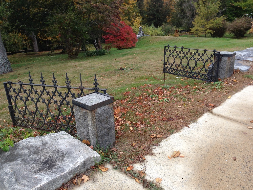
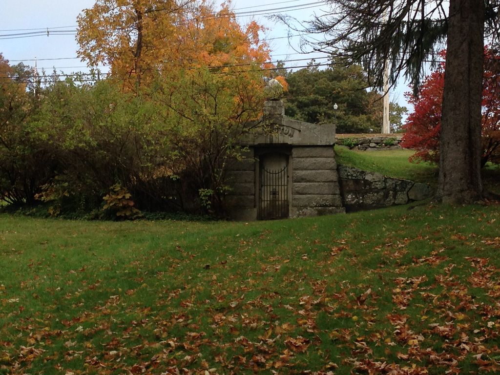
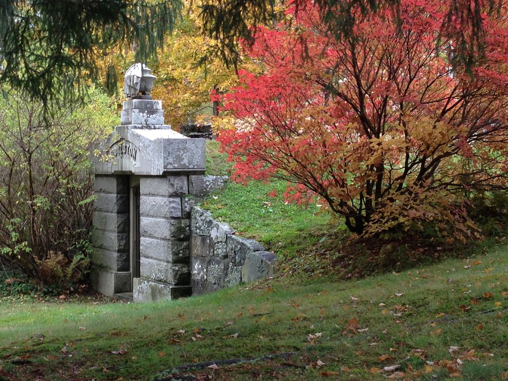
| Description | : | This cemetery was once owned by the Boylston family. The tomb and burial ground had been bequeathed to the Town of Princeton in the will of Ward Nicholas Boylston, dated August 20, 1827. The Massachusetts Historical Commission refers to this cemetery in MACRIS as PRI800. The cemetery is on the Assessors map as 12A-27. |
frequently asked questions (FAQ):
-
Where is Boylston Burial Ground?
Boylston Burial Ground is located at Hubbardston Road Princeton, Worcester County ,Massachusetts ,USA.
-
Boylston Burial Ground cemetery's updated grave count on graveviews.com?
11 memorials
-
Where are the coordinates of the Boylston Burial Ground?
Latitude: 42.4490700
Longitude: -71.8787000
Nearby Cemetories:
1. Woodlawn Cemetery
Princeton, Worcester County, USA
Coordinate: 42.4447260, -71.8835880
2. Meetinghouse Cemetery
Princeton, Worcester County, USA
Coordinate: 42.4551600, -71.8823000
3. Parker II Cemetery
Princeton, Worcester County, USA
Coordinate: 42.4451900, -71.8370600
4. North Cemetery
Princeton, Worcester County, USA
Coordinate: 42.4797700, -71.8724000
5. South Burying Ground
Princeton, Worcester County, USA
Coordinate: 42.4192009, -71.8957977
6. West Cemetery
Princeton, Worcester County, USA
Coordinate: 42.4454100, -71.9256500
7. Parker I Cemetery
Princeton, Worcester County, USA
Coordinate: 42.4828500, -71.8529500
8. Smith Family Cemetery
Rutland, Worcester County, USA
Coordinate: 42.3946064, -71.9231169
9. Clark Cemetery
Hubbardston, Worcester County, USA
Coordinate: 42.4840900, -71.9587800
10. Legg Cemetery
Sterling, Worcester County, USA
Coordinate: 42.4070020, -71.7986150
11. West Cemetery
Sterling, Worcester County, USA
Coordinate: 42.4514100, -71.7651400
12. High Plains Cemetery
West Boylston, Worcester County, USA
Coordinate: 42.3889008, -71.7972031
13. Rutland Rural Cemetery
Rutland, Worcester County, USA
Coordinate: 42.3790100, -71.9447500
14. Cookshire Cemetery
Sterling, Worcester County, USA
Coordinate: 42.4108500, -71.7734800
15. Evergreen Cemetery
Hubbardston, Worcester County, USA
Coordinate: 42.4630750, -71.9974320
16. Rural Glen Cemetery
Hubbardston, Worcester County, USA
Coordinate: 42.4653015, -71.9985962
17. Greenwood Cemetery
Hubbardston, Worcester County, USA
Coordinate: 42.4984700, -71.9812300
18. Brookside Cemetery
Hubbardston, Worcester County, USA
Coordinate: 42.4662700, -71.9993400
19. Route 62 Cemetery
Hubbardston, Worcester County, USA
Coordinate: 42.4426910, -72.0014980
20. Chocksett Burial Ground
Sterling, Worcester County, USA
Coordinate: 42.4377000, -71.7555400
21. Woodside Cemetery
Westminster, Worcester County, USA
Coordinate: 42.5402985, -71.8933029
22. Old Burial Ground
Rutland, Worcester County, USA
Coordinate: 42.3756000, -71.9578000
23. Oak Hill Cemetery
Sterling, Worcester County, USA
Coordinate: 42.4417000, -71.7493973
24. Hillside Cemetery
Sterling, Worcester County, USA
Coordinate: 42.4410000, -71.7492570