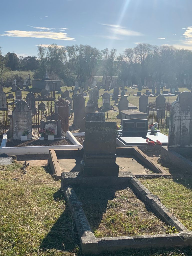
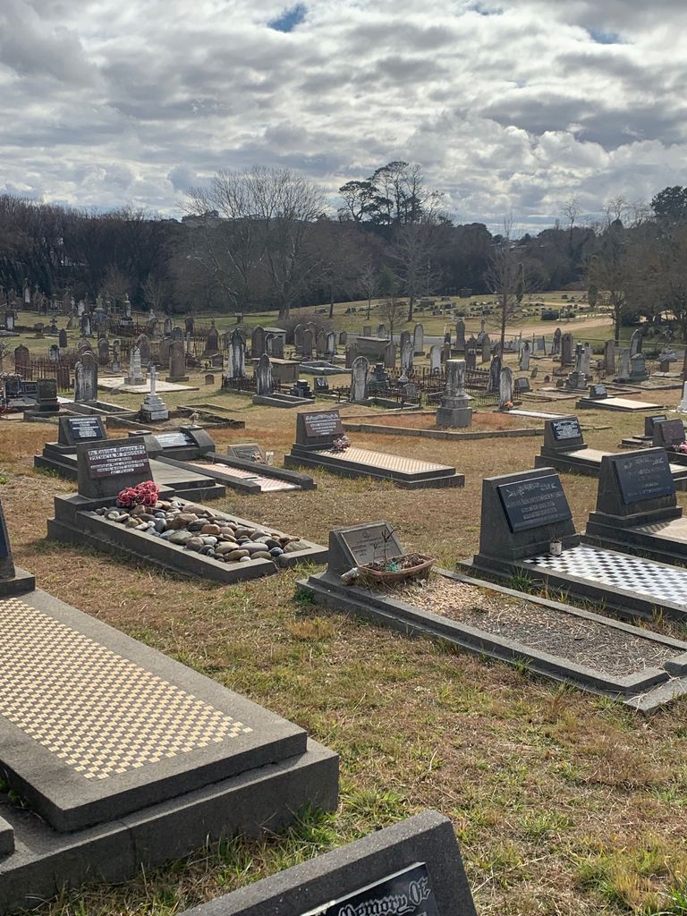
| Memorials | : | 6463 |
| Location | : | Braidwood, Queanbeyan–Palerang Regional Council, Australia |
| Coordinate | : | -35.4505750, 149.7967550 |
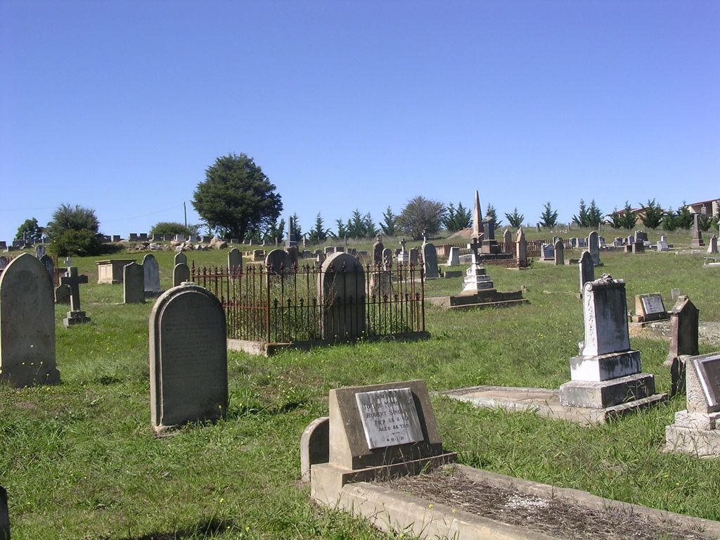
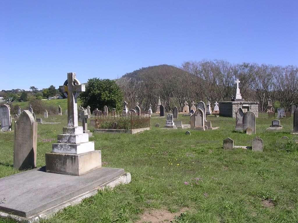
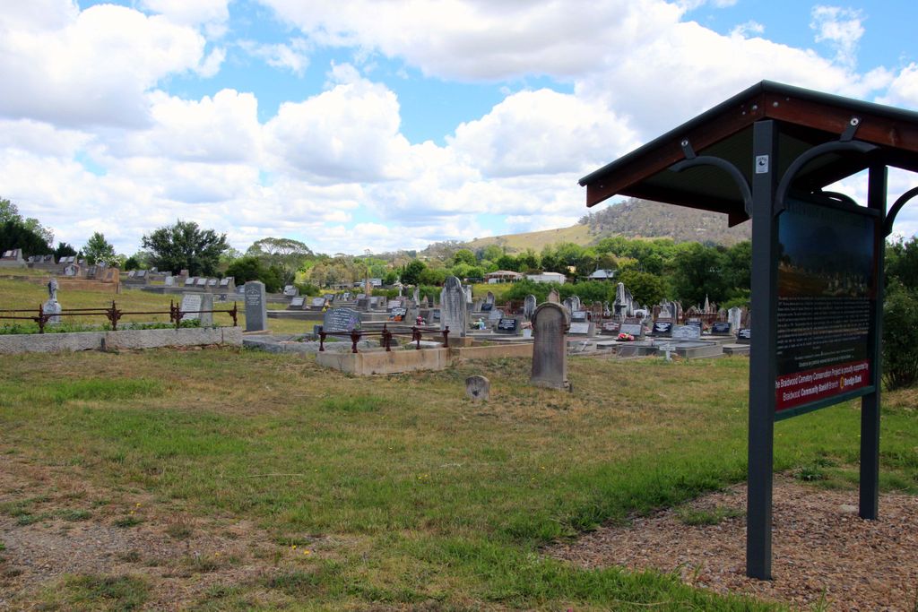
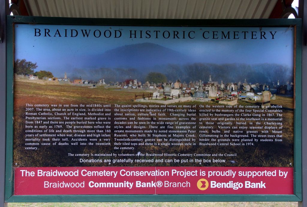
| Description | : | The cemetery is located about 600m south of the centre of town at the corner of Wallace and Cowper Streets. The Old General Cemetery is on the southern side of Cowper Street while the Lawn Cemetery is on the northern side. "Burials at the cemetery commenced in 1840. The sections reflect the main Christian religious denominations of the town Presbyterian, some Methodist, Anglican, and Catholic. There are approximately 1300 memorials, 1440 graves, and the remains of approximately 2100 people. As with many Australian cemeteries of this age, graves and grounds show the ravages of time. Old and crumbling monuments contrast... Read More |
frequently asked questions (FAQ):
-
Where is Braidwood Cemetery?
Braidwood Cemetery is located at Cowper Street Braidwood, Queanbeyan–Palerang Regional Council ,New South Wales , 2622Australia.
-
Braidwood Cemetery cemetery's updated grave count on graveviews.com?
6455 memorials
-
Where are the coordinates of the Braidwood Cemetery?
Latitude: -35.4505750
Longitude: 149.7967550
Nearby Cemetories:
1. Charleyong Cemetery
Charleyong, Queanbeyan–Palerang Regional Council, Australia
Coordinate: -35.4500740, 149.7970560
2. Braidwood Lawn Cemetery
Braidwood, Queanbeyan–Palerang Regional Council, Australia
Coordinate: -35.4491000, 149.7966000
3. Mongarlowe Cemetery
Mongarlowe, Queanbeyan–Palerang Regional Council, Australia
Coordinate: -35.4242770, 149.9411370
4. Majors Creek Cemetery
Majors Creek, Queanbeyan–Palerang Regional Council, Australia
Coordinate: -35.5804770, 149.7281970
5. Larbert Cemetery
Queanbeyan–Palerang Regional Council, Australia
Coordinate: -35.2961950, 149.7608180
6. Araluen Church of England Cemetery
Araluen, Queanbeyan–Palerang Regional Council, Australia
Coordinate: -35.6110340, 149.7795490
7. Araluen Catholic Cemetery
Araluen, Queanbeyan–Palerang Regional Council, Australia
Coordinate: -35.6340000, 149.8228333
8. Currowan Cemetery
Currowan, Eurobodalla Shire, Australia
Coordinate: -35.5765330, 150.0580070
9. St Peter & Paul Roman Catholic Cemetery
Hoskinstown, Queanbeyan–Palerang Regional Council, Australia
Coordinate: -35.4229520, 149.4534450
10. Gundillion Cemetery
Queanbeyan–Palerang Regional Council, Australia
Coordinate: -35.7247510, 149.6396220
11. Captain's Flat Cemetery
Captains Flat, Queanbeyan–Palerang Regional Council, Australia
Coordinate: -35.6124200, 149.4589850
12. Saint Thomas' Cemetery
Carwoola, Queanbeyan–Palerang Regional Council, Australia
Coordinate: -35.4389480, 149.3827710
13. Bungendore Cemetery
Bungendore, Queanbeyan–Palerang Regional Council, Australia
Coordinate: -35.2590741, 149.4526073
14. Nelligen Cemetery
Nelligen, Eurobodalla Shire, Australia
Coordinate: -35.6516110, 150.1338960
15. Nelligen Church Of England Cemetery Former
Nelligen, Eurobodalla Shire, Australia
Coordinate: -35.6477114, 150.1387833
16. Turalla Cemetery
Bungendore, Queanbeyan–Palerang Regional Council, Australia
Coordinate: -35.2419090, 149.4080250
17. Tarago General Cemetery
Tarago, Goulburn Mulwaree Council, Australia
Coordinate: -35.0786380, 149.6413420
18. Nerriga Catholic Cemetery
Nerriga, Queanbeyan–Palerang Regional Council, Australia
Coordinate: -35.1226300, 150.0800301
19. Batemans Bay Historic Cemetery
Batemans Bay, Eurobodalla Shire, Australia
Coordinate: -35.7089400, 150.1762900
20. Batemans Bay Old Catholic
Batemans Bay, Eurobodalla Shire, Australia
Coordinate: -35.7093950, 150.1764310
21. Batemans Bay Cemetery
Batemans Bay, Eurobodalla Shire, Australia
Coordinate: -35.7207690, 150.1756980
22. Batemans Bay Old Anglican Cemetery
Batemans Bay, Eurobodalla Shire, Australia
Coordinate: -35.7166672, 150.1833344
23. Nerriga General Cemetery
Nerriga, Queanbeyan–Palerang Regional Council, Australia
Coordinate: -35.1127380, 150.0868650
24. Mogo Old Church of England Cemetery
Mogo, Eurobodalla Shire, Australia
Coordinate: -35.7851910, 150.1409350

