
| Memorials | : | 1 |
| Location | : | East Canton, Stark County, USA |
| Coordinate | : | 40.7750610, -81.2835760 |
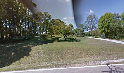
| Description | : | The cemetery is located about 250 feet west of Wood Avenue SE about 0.4 miles north of its intersection with Orchard View Drive SE. The cemetery is located in Osnaburg Township, Stark County, Ohio, and is # 11358 (Brenizer Cemetery) in “Ohio Cemeteries 1803-2003”, compiled by the Ohio Genealogical Society. The cemetery is listed as Cemetery, Stark County tax parcel 3780017, 0.04 acres in size, by the Stark County, Ohio, Auditor. |
frequently asked questions (FAQ):
-
Where is Brenizer Cemetery?
Brenizer Cemetery is located at 1803 Wood Avenue SE East Canton, Stark County ,Ohio , 44730USA.
-
Brenizer Cemetery cemetery's updated grave count on graveviews.com?
1 memorials
-
Where are the coordinates of the Brenizer Cemetery?
Latitude: 40.7750610
Longitude: -81.2835760
Nearby Cemetories:
1. Union Cemetery
East Canton, Stark County, USA
Coordinate: 40.7839088, -81.2878036
2. Mount Tabor Methodist Church Cemetery
East Canton, Stark County, USA
Coordinate: 40.7848015, -81.2829971
3. Kountze Memorial Cemetery
Canton, Stark County, USA
Coordinate: 40.7847800, -81.2870500
4. Merith Farm Cemetery
Mapleton, Stark County, USA
Coordinate: 40.7553030, -81.2729930
5. Snyder Cemetery
East Canton, Stark County, USA
Coordinate: 40.7689820, -81.2454280
6. Indian Run Cemetery
East Canton, Stark County, USA
Coordinate: 40.7393990, -81.2673035
7. Center Church of the Brethren Cemetery
Louisville, Stark County, USA
Coordinate: 40.8147011, -81.2794037
8. Valley Chapel Cemetery
Canton, Stark County, USA
Coordinate: 40.8047218, -81.3202744
9. Boyer Cemetery
Louisville, Stark County, USA
Coordinate: 40.8156930, -81.2704180
10. Mapleton Cemetery
Canton, Stark County, USA
Coordinate: 40.7485008, -81.2408981
11. Evergreen Memorial Gardens
Louisville, Stark County, USA
Coordinate: 40.8156013, -81.2977982
12. Zwick Cemetery
Stark County, USA
Coordinate: 40.7872009, -81.2292023
13. Glen Cemetery
Mapleton, Stark County, USA
Coordinate: 40.7386017, -81.2472000
14. Saint Louis Cemetery
Louisville, Stark County, USA
Coordinate: 40.8241692, -81.2676773
15. Glass Cemetery
Mapleton, Stark County, USA
Coordinate: 40.7301370, -81.2469010
16. Mount Zion Cemetery
Canton, Stark County, USA
Coordinate: 40.7419879, -81.3415546
17. Fairhope Cemetery
East Canton, Stark County, USA
Coordinate: 40.8289500, -81.2984400
18. Rowland Cemetery
Canton, Stark County, USA
Coordinate: 40.7930984, -81.3533020
19. Centenary Chapel Cemetery
Waynesburg, Stark County, USA
Coordinate: 40.7120000, -81.2759400
20. Motts Cemetery
Stark County, USA
Coordinate: 40.7956009, -81.2042007
21. Snyder Cemetery
Stark County, USA
Coordinate: 40.8212430, -81.2207110
22. Canton Hebrew Cemetery
Canton, Stark County, USA
Coordinate: 40.7722015, -81.3716965
23. Robertsville Cemetery
Robertsville, Stark County, USA
Coordinate: 40.7637000, -81.1889000
24. Greenridge Cemetery
Stark County, USA
Coordinate: 40.7118988, -81.3336029