
| Memorials | : | 1 |
| Location | : | Mapleton, Stark County, USA |
| Coordinate | : | 40.7386017, -81.2472000 |
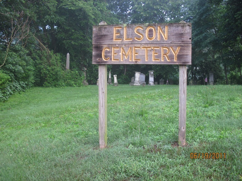
| Description | : | The cemetery is located on the west side of Ravenna Avenue SE (Ohio State Route 44) about 0.3 miles north of its intersection with Hill Church Street SE. The cemetery is located in Osnaburg Township, Stark County, Ohio, and is # 11362 (Glen Cemetery) in “Ohio Cemeteries 1803-2003”, compiled by the Ohio Genealogical Society. The U.S. Geological Survey (USGS) Geographic Names Information System (GNIS) feature ID for the cemetery is 1040895 (Glen Cemetery). |
frequently asked questions (FAQ):
-
Where is Glen Cemetery?
Glen Cemetery is located at Ravenna Avenue SE Mapleton, Stark County ,Ohio , 44730USA.
-
Glen Cemetery cemetery's updated grave count on graveviews.com?
1 memorials
-
Where are the coordinates of the Glen Cemetery?
Latitude: 40.7386017
Longitude: -81.2472000
Nearby Cemetories:
1. Glass Cemetery
Mapleton, Stark County, USA
Coordinate: 40.7301370, -81.2469010
2. Mapleton Cemetery
Canton, Stark County, USA
Coordinate: 40.7485008, -81.2408981
3. Indian Run Cemetery
East Canton, Stark County, USA
Coordinate: 40.7393990, -81.2673035
4. Merith Farm Cemetery
Mapleton, Stark County, USA
Coordinate: 40.7553030, -81.2729930
5. Snyder Cemetery
East Canton, Stark County, USA
Coordinate: 40.7689820, -81.2454280
6. Salem Cemetery
Stark County, USA
Coordinate: 40.7230988, -81.2089005
7. Centenary Chapel Cemetery
Waynesburg, Stark County, USA
Coordinate: 40.7120000, -81.2759400
8. Brenizer Cemetery
East Canton, Stark County, USA
Coordinate: 40.7750610, -81.2835760
9. Zwick Cemetery
Stark County, USA
Coordinate: 40.7872009, -81.2292023
10. Robertsville Cemetery
Robertsville, Stark County, USA
Coordinate: 40.7637000, -81.1889000
11. Mount Tabor Methodist Church Cemetery
East Canton, Stark County, USA
Coordinate: 40.7848015, -81.2829971
12. Union Cemetery
East Canton, Stark County, USA
Coordinate: 40.7839088, -81.2878036
13. Kountze Memorial Cemetery
Canton, Stark County, USA
Coordinate: 40.7847800, -81.2870500
14. Motts Cemetery
Stark County, USA
Coordinate: 40.7956009, -81.2042007
15. Hewitt-Creighton Cemetery
Malvern, Carroll County, USA
Coordinate: 40.6721110, -81.2302710
16. Waynesburg Cemetery
Waynesburg, Stark County, USA
Coordinate: 40.6688995, -81.2566986
17. Hardesty Cemetery
Malvern, Carroll County, USA
Coordinate: 40.6925011, -81.1766968
18. Greenridge Cemetery
Stark County, USA
Coordinate: 40.7118988, -81.3336029
19. Mount Zion Cemetery
Canton, Stark County, USA
Coordinate: 40.7419879, -81.3415546
20. Liberty Cemetery
Minerva, Stark County, USA
Coordinate: 40.7290001, -81.1529999
21. Saint Francis Xavier Cemetery
Malvern, Carroll County, USA
Coordinate: 40.6880989, -81.1742020
22. Sandy Valley Cemetery
Waynesburg, Stark County, USA
Coordinate: 40.6638908, -81.2705612
23. Slagle Cemetery
Paris, Stark County, USA
Coordinate: 40.7428017, -81.1449966
24. Boyer Cemetery
Louisville, Stark County, USA
Coordinate: 40.8156930, -81.2704180