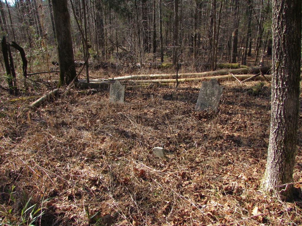
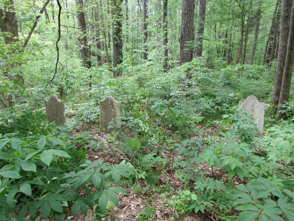
| Memorials | : | 5 |
| Location | : | Union County, USA |
| Coordinate | : | 34.5357100, -81.4814800 |
| Description | : | A small family cemetery containing five marble markers located on the Sumter National Forest near Tuckertown near and on the eastern side of Brock Creek. |
frequently asked questions (FAQ):
-
Where is Brock Cemetery?
Brock Cemetery is located at Union County ,South Carolina ,USA.
-
Brock Cemetery cemetery's updated grave count on graveviews.com?
5 memorials
-
Where are the coordinates of the Brock Cemetery?
Latitude: 34.5357100
Longitude: -81.4814800
Nearby Cemetories:
1. Jeters Chapel AME Church Cemetery
Carlisle, Union County, USA
Coordinate: 34.5598310, -81.5138240
2. Saint Luke AME Zion Church Cemetery
Carlisle, Union County, USA
Coordinate: 34.5041120, -81.4550130
3. Kelly's Chapel Cemetery
Carlisle, Union County, USA
Coordinate: 34.5649986, -81.4480972
4. James Chapel Baptist Church Cemetery
Carlisle, Union County, USA
Coordinate: 34.5882790, -81.4601030
5. Outreach Deliverance Church Cemetery
Union County, USA
Coordinate: 34.5935850, -81.4684880
6. Carlilse Christian Fellowship Church Cemetery
Carlisle, Union County, USA
Coordinate: 34.5935550, -81.4678890
7. First Rogers Methodist Church Cemetery
Union County, USA
Coordinate: 34.5296100, -81.5536200
8. William Chapel AME Zion Church Cemetery
Carlisle, Union County, USA
Coordinate: 34.5924410, -81.4575930
9. Hill Cemetery
Carlisle, Union County, USA
Coordinate: 34.5992012, -81.4692001
10. Glenn Cemetery
Union County, USA
Coordinate: 34.5923900, -81.4438200
11. Gladney Family Cemetery
Newberry County, USA
Coordinate: 34.4711950, -81.4728740
12. Fish Dam Cemetery
Carlisle, Union County, USA
Coordinate: 34.5886002, -81.4330978
13. Lyles-Sims-Thomas Cemetery
Maybinton, Newberry County, USA
Coordinate: 34.4816050, -81.4343530
14. Saint Mathew's Cemetery
Union County, USA
Coordinate: 34.5039360, -81.5553220
15. Second Rogers Methodist Church Cemetery
Union County, USA
Coordinate: 34.5211300, -81.5650700
16. McConnell Family Cemetery
Blair, Fairfield County, USA
Coordinate: 34.4956900, -81.4085700
17. Gilliams Chapel Cemetery
Union County, USA
Coordinate: 34.6021996, -81.5286026
18. Hunter-Burel-Jenkins Cemetery
Union County, USA
Coordinate: 34.5078900, -81.5693200
19. Cane Creek Quaker Church Cemetery
Santuc, Union County, USA
Coordinate: 34.6087120, -81.5209830
20. Ebenezer Cemetery
Newberry County, USA
Coordinate: 34.4536018, -81.4931030
21. Cool Branch Baptist Church Cemetery
Cool Branch, Fairfield County, USA
Coordinate: 34.5490000, -81.3777000
22. Flanagan
Newberry County, USA
Coordinate: 34.4821600, -81.5643800
23. Charles Burying Ground
Fairfield County, USA
Coordinate: 34.5350780, -81.3753460
24. Wood Cemetery
Chester, Chester County, USA
Coordinate: 34.5958890, -81.4037660


