
| Memorials | : | 0 |
| Location | : | Dills, Jefferson County, USA |
| Coordinate | : | 30.6327890, -83.7468660 |
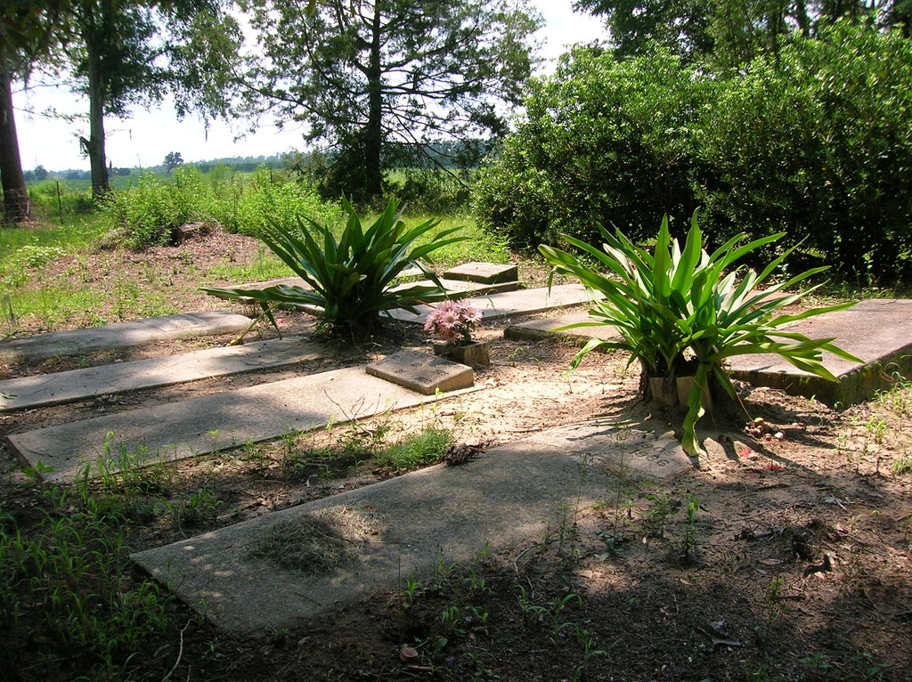
| Description | : | Located at the end of Faglie Cemetery Road, adjacent to the Faglie Cemetery and across the dirt road from the Sanders Cemetery. |
frequently asked questions (FAQ):
-
Where is Brown Cemetery?
Brown Cemetery is located at Dills, Jefferson County ,Florida ,USA.
-
Brown Cemetery cemetery's updated grave count on graveviews.com?
0 memorials
-
Where are the coordinates of the Brown Cemetery?
Latitude: 30.6327890
Longitude: -83.7468660
Nearby Cemetories:
1. Faglie Cemetery
Dills, Jefferson County, USA
Coordinate: 30.6327900, -83.7471460
2. Sanders Cemetery
Dills, Jefferson County, USA
Coordinate: 30.6329530, -83.7471590
3. Stokes Cemetery
Dills, Jefferson County, USA
Coordinate: 30.6329110, -83.7480550
4. Bradley-Elizabeth Cemetery
Dills, Jefferson County, USA
Coordinate: 30.6331670, -83.7728670
5. Groover Cemetery
Monticello, Jefferson County, USA
Coordinate: 30.6252890, -83.7729950
6. Pinckney Hill Plantation Cemetery
Monticello, Jefferson County, USA
Coordinate: 30.5912160, -83.7425430
7. Bethel AME Church Cemetery
Aucilla, Jefferson County, USA
Coordinate: 30.5884020, -83.7580120
8. New Bethel AME Church Cemetery
Monticello, Jefferson County, USA
Coordinate: 30.5848690, -83.7551580
9. Hampton Cemetery
Aucilla, Jefferson County, USA
Coordinate: 30.5820380, -83.7584460
10. Olive Baptist Church Cemetery
Monticello, Jefferson County, USA
Coordinate: 30.6550760, -83.8152290
11. Pleasant Grove Missionary Baptist Church Cemetery
Aucilla, Jefferson County, USA
Coordinate: 30.5665610, -83.7565230
12. Ashville Community Cemetery
Ashville, Jefferson County, USA
Coordinate: 30.6108330, -83.6589810
13. Bethel Cemetery
Jefferson County, USA
Coordinate: 30.6154080, -83.8390470
14. Walker Cemetery
Aucilla, Jefferson County, USA
Coordinate: 30.5517280, -83.7674760
15. Grooverville Methodist Church Cemetery
Grooverville, Brooks County, USA
Coordinate: 30.7161000, -83.7358017
16. Mount Moriah Primitive Baptist Church Cemetery
Monticello, Jefferson County, USA
Coordinate: 30.6294183, -83.8464085
17. Mount Zion Cemetery
Monticello, Jefferson County, USA
Coordinate: 30.6064280, -83.8429440
18. John McMullen Cemetery
Grooverville, Brooks County, USA
Coordinate: 30.6547620, -83.6449360
19. Howard-Bellamy Cemetery
Ashville, Jefferson County, USA
Coordinate: 30.6186030, -83.6427810
20. African Methodist Episcopal Cemetery
Brooks County, USA
Coordinate: 30.7221040, -83.7235100
21. Lyndhurst Plantation Cemetery
Ashville, Jefferson County, USA
Coordinate: 30.5877300, -83.6519100
22. Hickory Hill Missionary Baptist Church Cemetery
Monticello, Jefferson County, USA
Coordinate: 30.5594020, -83.8140490
23. Milton Cemetery
Jefferson County, USA
Coordinate: 30.5592003, -83.8142014
24. Gilley Cemetery
Monticello, Jefferson County, USA
Coordinate: 30.6614140, -83.8547830