
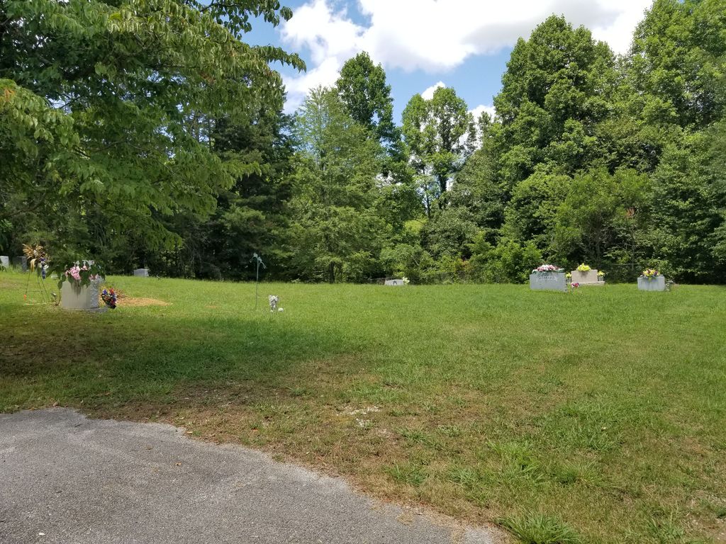
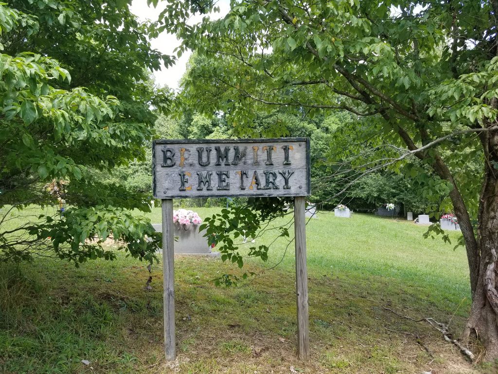
| Memorials | : | 2 |
| Location | : | Laurel County, USA |
| Coordinate | : | 37.1394420, -83.9962660 |
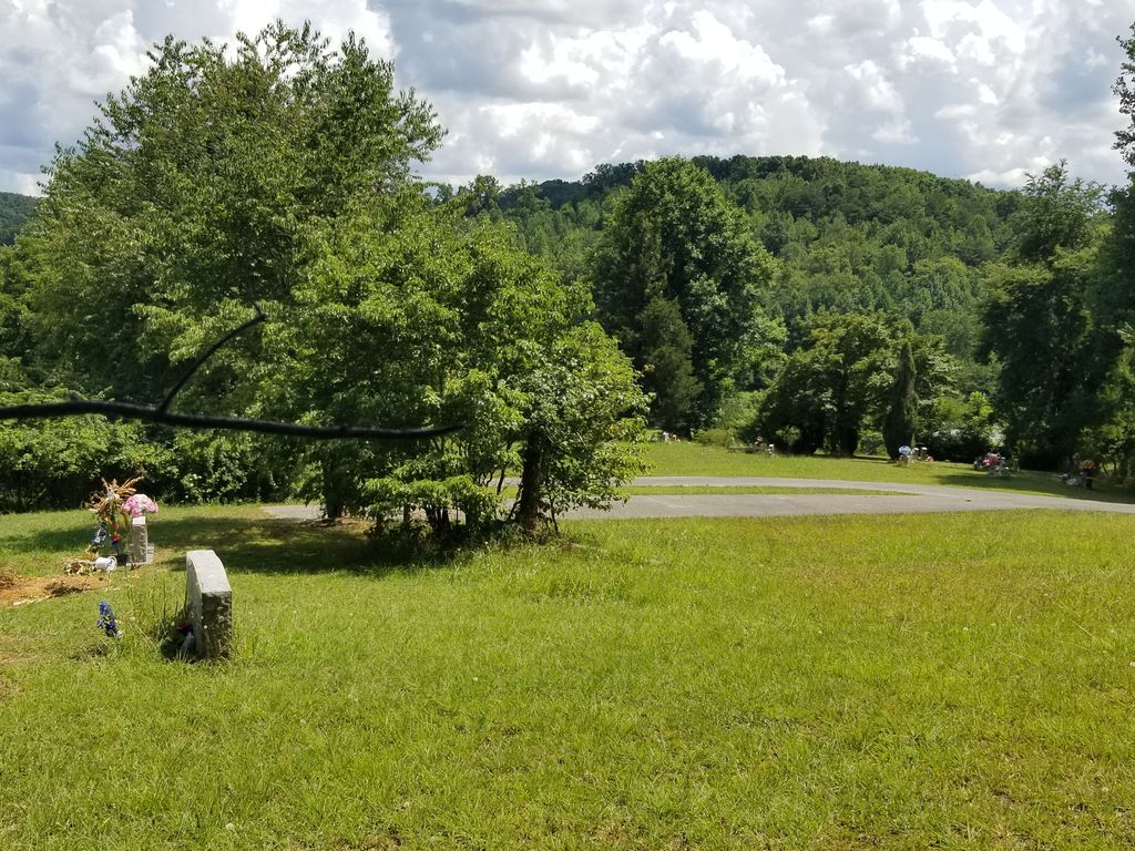
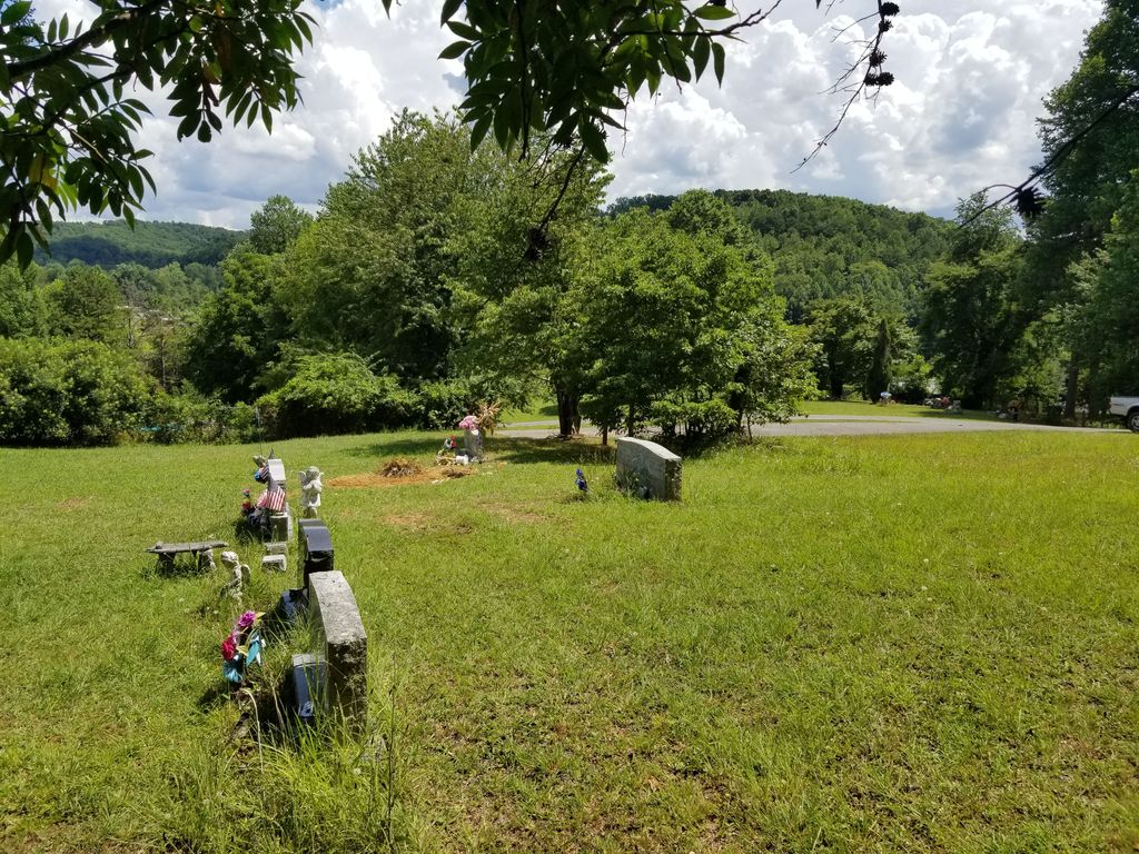
| Description | : | Turn off Hwy 192 Bypass onto Ky 472. Go 3.2 miles to Old Way Road; Turn right. Go 1.1 mile to H.B. Smith Road; Turn left. Less than 0.1 mile turn left on Sargent Cemetery lane. Go up the hill and Sargent cemetery is on the left. Brummitt cemetery is on the right. |
frequently asked questions (FAQ):
-
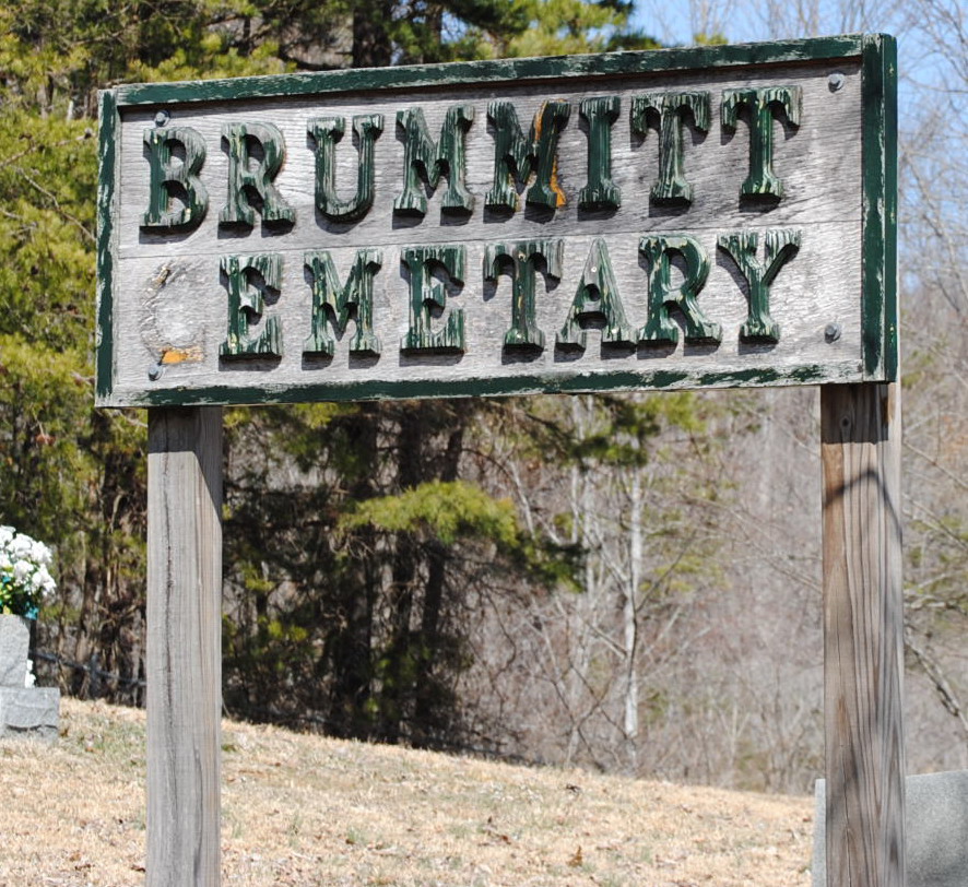
Where is Brummitt Cemetery?
Brummitt Cemetery is located at Old Way Rd Laurel County ,Kentucky ,USA.
-
Brummitt Cemetery cemetery's updated grave count on graveviews.com?
2 memorials
-
Where are the coordinates of the Brummitt Cemetery?
Latitude: 37.1394420
Longitude: -83.9962660
Nearby Cemetories:
1. Cupp Cemetery
Laurel County, USA
Coordinate: 37.1432050, -84.0008210
2. Asher-Vandy Cemetery
Laurel County, USA
Coordinate: 37.1432140, -84.0008460
3. Wyatts Chapel Cemetery
Langnau, Laurel County, USA
Coordinate: 37.1659851, -83.9934082
4. East Salem Cemetery
Langnau, Laurel County, USA
Coordinate: 37.1641650, -84.0136450
5. France-Mathis Cemetery
Laurel County, USA
Coordinate: 37.1614560, -83.9736300
6. Nicholson Cemetery #1
Brock, Laurel County, USA
Coordinate: 37.1199420, -83.9683780
7. Weaver Missionary Baptist Church Cemetery
Brock, Laurel County, USA
Coordinate: 37.1197790, -83.9681720
8. Old Salem Cemetery
Langnau, Laurel County, USA
Coordinate: 37.1610985, -84.0224991
9. Rough Creek Cemetery
Brock, Laurel County, USA
Coordinate: 37.1036186, -83.9978333
10. Chesnut Cemetery
Laurel County, USA
Coordinate: 37.1197970, -84.0343440
11. Smith Cemetery
Bush, Laurel County, USA
Coordinate: 37.1172791, -84.0367661
12. Mount Salem Cemetery
Bush, Laurel County, USA
Coordinate: 37.1068980, -83.9598800
13. Hammons Family Cemetery
Portersburg, Clay County, USA
Coordinate: 37.1574710, -83.9449170
14. Sellards Cemetery
Portersburg, Clay County, USA
Coordinate: 37.1643770, -83.9435240
15. Felix Rush Cemetery
Laurel County, USA
Coordinate: 37.1718680, -84.0459480
16. Allen Cemetery
Portersburg, Clay County, USA
Coordinate: 37.1767300, -83.9483300
17. Baker Cemetery
Portersburg, Clay County, USA
Coordinate: 37.1685700, -83.9376900
18. Old Garland Cemetery
Portersburg, Clay County, USA
Coordinate: 37.1686700, -83.9373500
19. Chestnut Cemetery
Laurel County, USA
Coordinate: 37.1533100, -84.0639000
20. Hatcher Cemetery
Langnau, Laurel County, USA
Coordinate: 37.1877800, -83.9558300
21. Foster Cemetery
Laurel County, USA
Coordinate: 37.1378100, -84.0695100
22. John F. Reams Cemetery
Laurel County, USA
Coordinate: 37.1988970, -83.9944160
23. Mosley Cemetery
Deer Lick, Clay County, USA
Coordinate: 37.1236000, -83.9213700
24. Deaton Family Cemetery
Laurel County, USA
Coordinate: 37.0872269, -83.9530106