
| Memorials | : | 5 |
| Location | : | Thorntown, Boone County, USA |
| Coordinate | : | 40.1697006, -86.5725021 |
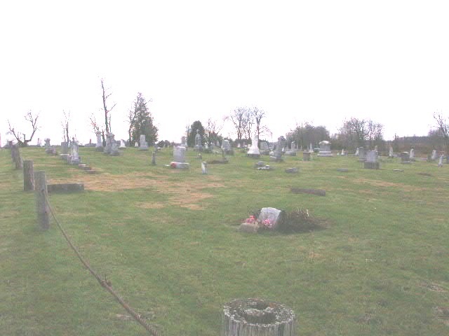
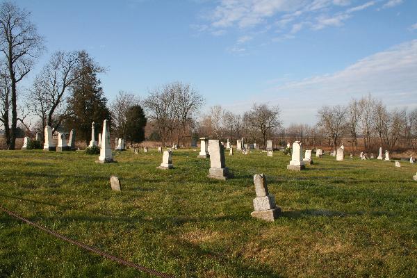
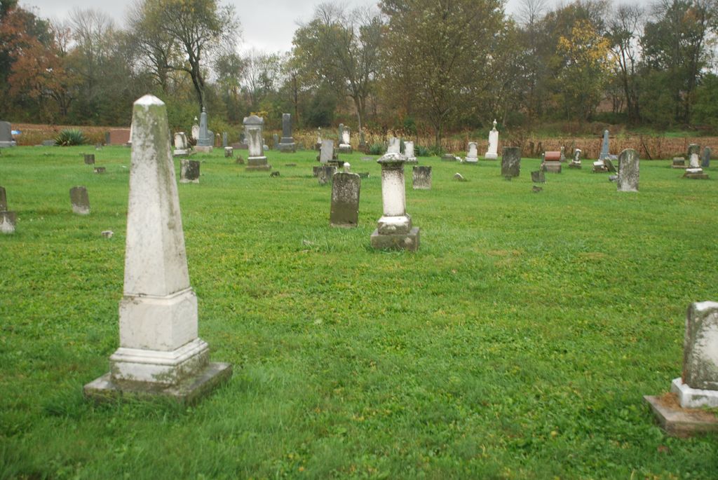
| Description | : | The cemetery is located in Washington Township, Boone County on the west side of County Road 550 W about 0.5 miles south of its intersection with W County Road 950 N. Indiana Cemetery Locations, Volume 3, published by the Indiana Genealogical Society (April 2007), gives the primary cemetery name as Brush Creek Cemetery. The cemetery is listed in the Cemetery and Burial Grounds Registry of the Indiana Department of Natural Resources (DNR) and in the State Historical Architectural and Archaeological Research Database (SHAARD) with Cemetery Record Number CR-06-85 (Brush Creek). The U.S. Geological Survey (USGS) Geographic Names Information... Read More |
frequently asked questions (FAQ):
-
Where is Brush Creek Cemetery?
Brush Creek Cemetery is located at County Road 550 W Thorntown, Boone County ,Indiana , 45071USA.
-
Brush Creek Cemetery cemetery's updated grave count on graveviews.com?
5 memorials
-
Where are the coordinates of the Brush Creek Cemetery?
Latitude: 40.1697006
Longitude: -86.5725021
Nearby Cemetories:
1. Gipson Cemetery
Thorntown, Boone County, USA
Coordinate: 40.1567001, -86.5947037
2. Bethel Hill Cemetery
Lebanon, Boone County, USA
Coordinate: 40.1343994, -86.5441971
3. Old Thorntown Cemetery
Thorntown, Boone County, USA
Coordinate: 40.1342812, -86.6038971
4. Curry Cemetery
Thorntown, Boone County, USA
Coordinate: 40.1321678, -86.6028748
5. Miami Indian Cemetery
Thorntown, Boone County, USA
Coordinate: 40.1286926, -86.5941238
6. Colored Cemetery
Thorntown, Boone County, USA
Coordinate: 40.1383591, -86.6240616
7. Loveless Cemetery
Colfax, Clinton County, USA
Coordinate: 40.1932983, -86.6346970
8. Maple Lawn Cemetery
Thorntown, Boone County, USA
Coordinate: 40.1253014, -86.6164017
9. Sugar Plain Cemetery
Thorntown, Boone County, USA
Coordinate: 40.1302986, -86.6371994
10. Cason Cemetery
Hazelrigg, Boone County, USA
Coordinate: 40.1051979, -86.5611572
11. Manson Cemetery
Manson, Clinton County, USA
Coordinate: 40.2352982, -86.5899963
12. Catholic Cemetery
Colfax, Clinton County, USA
Coordinate: 40.1880989, -86.6580963
13. Lane Cemetery
Colfax, Clinton County, USA
Coordinate: 40.2181816, -86.6384811
14. Mechanicsburg Cemetery
Mechanicsburg, Boone County, USA
Coordinate: 40.1624100, -86.4776200
15. Buntin Cemetery
Frankfort, Clinton County, USA
Coordinate: 40.2057991, -86.4813995
16. Shiloh Cemetery
Colfax, Clinton County, USA
Coordinate: 40.2152900, -86.6567730
17. Plainview Cemetery
Colfax, Clinton County, USA
Coordinate: 40.2066231, -86.6715469
18. Taylor Cemetery
Hazelrigg, Boone County, USA
Coordinate: 40.0835304, -86.5823212
19. Mckendra Cemetery
Colfax, Clinton County, USA
Coordinate: 40.1991997, -86.6810989
20. White Cemetery
Colfax, Clinton County, USA
Coordinate: 40.2189000, -86.6708000
21. Davis Cemetery
Colfax, Clinton County, USA
Coordinate: 40.2190208, -86.6711884
22. Bethel Cemetery
Pike, Boone County, USA
Coordinate: 40.1130447, -86.4806519
23. Garrett Cemetery
Mechanicsburg, Boone County, USA
Coordinate: 40.1633224, -86.4526825
24. Beck Cemetery
Lebanon, Boone County, USA
Coordinate: 40.0855370, -86.5155330