
| Memorials | : | 0 |
| Location | : | Clayton, Johnston County, USA |
| Coordinate | : | 35.6619400, -78.4470900 |
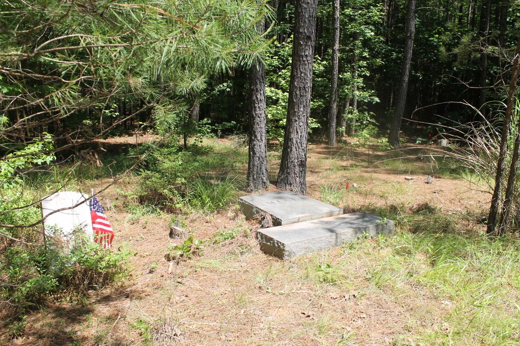
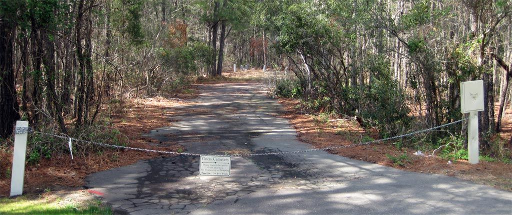
| Description | : | North of Clayton about 1 mile from town. Cemetery is on left side of Archie Lodge Road, SR 1708. Very near road, but dirt road leads to it. |
frequently asked questions (FAQ):
-
Where is Bunker Hill Cemetery?
Bunker Hill Cemetery is located at Archie Lodge Road, SR 1708 Clayton, Johnston County ,North Carolina ,USA.
-
Bunker Hill Cemetery cemetery's updated grave count on graveviews.com?
0 memorials
-
Where are the coordinates of the Bunker Hill Cemetery?
Latitude: 35.6619400
Longitude: -78.4470900

Nearby Cemetories:
1. Horne Cemetery
Clayton, Johnston County, USA
Coordinate: 35.6581001, -78.4599991
2. Clayton City Cemetery
Clayton, Johnston County, USA
Coordinate: 35.6577170, -78.4624260
3. McCullers Cemetery
Clayton, Johnston County, USA
Coordinate: 35.6617012, -78.4677963
4. Maplewood Cemetery
Clayton, Johnston County, USA
Coordinate: 35.6441116, -78.4592972
5. Bell-McCullers Cemetery
Clayton, Johnston County, USA
Coordinate: 35.6811000, -78.4639690
6. Gay Cemetery
Johnston County, USA
Coordinate: 35.6758003, -78.4197006
7. Pinecrest Memorial Gardens
Clayton, Johnston County, USA
Coordinate: 35.6644096, -78.4939880
8. Forest Hills Cemetery
Clayton, Johnston County, USA
Coordinate: 35.6218240, -78.4453820
9. Amelia Christian Church Cemetery
Clayton, Johnston County, USA
Coordinate: 35.6365810, -78.4957920
10. Wiley D. Jones Cemetery
Clayton, Johnston County, USA
Coordinate: 35.6476800, -78.5027010
11. Ruffin J. Castleberry Cemetery
Clayton, Johnston County, USA
Coordinate: 35.6703900, -78.3892900
12. J.W.M. Jones Cemetery
Clayton, Johnston County, USA
Coordinate: 35.6243730, -78.4087540
13. H.J. Crocker Cemetery
Clayton, Johnston County, USA
Coordinate: 35.6136450, -78.4350550
14. Sanders and Williamson Family Cemetery
Clayton, Johnston County, USA
Coordinate: 35.6148580, -78.4650750
15. Powhatan Church Cemetery
Clayton, Johnston County, USA
Coordinate: 35.6215600, -78.4081790
16. Burrell Boon Cemetery
Clayton, Johnston County, USA
Coordinate: 35.6164060, -78.4761950
17. Poole Cemetery
Clayton, Johnston County, USA
Coordinate: 35.6091995, -78.4760971
18. Wall Family Cemetery
Archers Lodge, Johnston County, USA
Coordinate: 35.6904500, -78.3764490
19. Josiah Atkinson Cemetery
Clayton, Johnston County, USA
Coordinate: 35.6047870, -78.4106460
20. Adams - Poole - Price Cemetery
Clayton, Johnston County, USA
Coordinate: 35.6159970, -78.3905080
21. Jesse Wall Cemetery
Archers Lodge, Johnston County, USA
Coordinate: 35.6950640, -78.3763900
22. White Oak Baptist Church Cemetery
Archers Lodge, Johnston County, USA
Coordinate: 35.6940575, -78.3750381
23. Baptist Center Church Cemetery
Clayton, Johnston County, USA
Coordinate: 35.5973550, -78.4745640
24. Parker Family Cemetery
Archers Lodge, Johnston County, USA
Coordinate: 35.7077537, -78.3844034