| Memorials | : | 0 |
| Location | : | Emit, Johnston County, USA |
| Coordinate | : | 35.7146000, -78.3015800 |
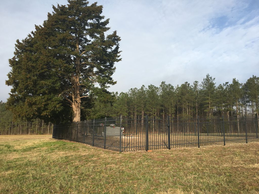
| Description | : | Cemetery is located directly across from the residence at 11272 Covered Bridge Road just west of highway 96 in the Corinth Holders community. |
frequently asked questions (FAQ):
-
Where is Bunn Raines Thompson?
Bunn Raines Thompson is located at Emit, Johnston County ,North Carolina , 27597USA.
-
Bunn Raines Thompson cemetery's updated grave count on graveviews.com?
0 memorials
-
Where are the coordinates of the Bunn Raines Thompson?
Latitude: 35.7146000
Longitude: -78.3015800
Nearby Cemetories:
1. Wilders Community Cemetery
Archers Lodge, Johnston County, USA
Coordinate: 35.7248710, -78.3015190
2. Corinth Baptist Church Cemetery
Johnston County, USA
Coordinate: 35.7287710, -78.2987720
3. Berry Woodard Cemetery
Clayton, Johnston County, USA
Coordinate: 35.7053700, -78.3235600
4. Raeford Williamson Cemetery
Clayton, Johnston County, USA
Coordinate: 35.7115730, -78.3287500
5. Eason Cemetery
Johnston County, USA
Coordinate: 35.6885986, -78.2869034
6. O'Neal and Williams Cemetery
Archers Lodge, Johnston County, USA
Coordinate: 35.6996900, -78.3331300
7. Needham H. Whitley Cemetery
Archers Lodge, Johnston County, USA
Coordinate: 35.7129900, -78.3385650
8. Salem Primitive Baptist Church Cemetery
Archers Lodge, Johnston County, USA
Coordinate: 35.7283974, -78.3447037
9. Henry Anderson Cemetery
Johnston County, USA
Coordinate: 35.7220140, -78.3507050
10. Saint Paul #2 Disciples of Christ
Emit, Johnston County, USA
Coordinate: 35.7442050, -78.2572940
11. Watkins Chapel Baptist Church Cemetery
Emit, Johnston County, USA
Coordinate: 35.7411630, -78.2540720
12. Antioch Baptist Cemetery
Johnston County, USA
Coordinate: 35.6929250, -78.2446750
13. Joseph L. Madon Cemetery
Emit, Johnston County, USA
Coordinate: 35.7368750, -78.2446450
14. Richardson Lunsford
Clayton, Johnston County, USA
Coordinate: 35.6685830, -78.2700280
15. Friendship Free Will Baptist Church Cemetery
Johnston County, USA
Coordinate: 35.7519700, -78.2448640
16. Davis Family
Dixie Crossroads, Johnston County, USA
Coordinate: 35.7096500, -78.2277200
17. Batten Cemetery
Johnston County, USA
Coordinate: 35.6543999, -78.3206024
18. White Oak Baptist Church Cemetery
Archers Lodge, Johnston County, USA
Coordinate: 35.6940575, -78.3750381
19. Jesse Wall Cemetery
Archers Lodge, Johnston County, USA
Coordinate: 35.6950640, -78.3763900
20. Debnam Cemetery
Johnston County, USA
Coordinate: 35.7295130, -78.2236170
21. Wall Family Cemetery
Archers Lodge, Johnston County, USA
Coordinate: 35.6904500, -78.3764490
22. Hales Chapel Baptist Church Cemetery
Johnston County, USA
Coordinate: 35.7754510, -78.2684680
23. Parker Family Cemetery
Archers Lodge, Johnston County, USA
Coordinate: 35.7077537, -78.3844034
24. Earpsboro Cemetery
Johnston County, USA
Coordinate: 35.7816130, -78.2893940

