
| Memorials | : | 1 |
| Location | : | Pine Knot, McCreary County, USA |
| Coordinate | : | 36.6447200, -84.4595800 |
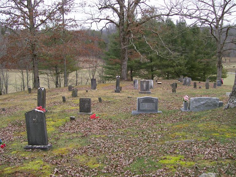
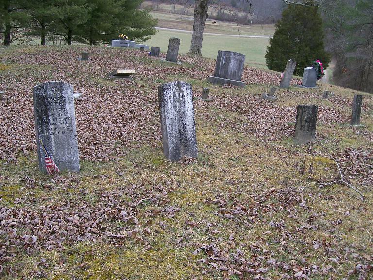
| Description | : | This cemetery is on private property in Pine Knot. |
frequently asked questions (FAQ):
-
Where is Burl King Cemetery?
Burl King Cemetery is located at Burl King Cemetery Rd Pine Knot, McCreary County ,Kentucky ,USA.
-
Burl King Cemetery cemetery's updated grave count on graveviews.com?
1 memorials
-
Where are the coordinates of the Burl King Cemetery?
Latitude: 36.6447200
Longitude: -84.4595800
Nearby Cemetories:
1. Smith Cemetery
McCreary County, USA
Coordinate: 36.6513820, -84.4703630
2. Alexander Cemetery
Pine Knot, McCreary County, USA
Coordinate: 36.6461110, -84.4405560
3. Josh Wilson Cemetery
McCreary County, USA
Coordinate: 36.6265678, -84.4596939
4. Pine Knot Memorial Garden
Pine Knot, McCreary County, USA
Coordinate: 36.6650000, -84.4475000
5. Pine Knot Cemetery
Pine Knot, McCreary County, USA
Coordinate: 36.6650009, -84.4475021
6. Kidd Cemetery
Pine Knot, McCreary County, USA
Coordinate: 36.6535960, -84.4295460
7. Crabtree Cemetery
Revelo, McCreary County, USA
Coordinate: 36.6658330, -84.4338890
8. Ross Grove Cemetery
McCreary County, USA
Coordinate: 36.6545143, -84.4968491
9. Anderson Cemetery
Pine Knot, McCreary County, USA
Coordinate: 36.6186110, -84.4352780
10. Musgrove Cemetery
Pine Knot, McCreary County, USA
Coordinate: 36.6641502, -84.4223785
11. Lower Hickory Grove Cemetery
McCreary County, USA
Coordinate: 36.6762848, -84.4868317
12. Otter Creek Cemetery
McCreary County, USA
Coordinate: 36.6358490, -84.5081024
13. Jacob Troxel Cemetery
McCreary County, USA
Coordinate: 36.6343994, -84.5077972
14. Stevens-Foster Cemetery
Barthell, McCreary County, USA
Coordinate: 36.6639560, -84.5104000
15. Jones Cemetery
Silerville, McCreary County, USA
Coordinate: 36.6161003, -84.4143982
16. Upper Cal Hill Cemetery
Pine Knot, McCreary County, USA
Coordinate: 36.6495590, -84.4008450
17. Stearns Cemetery
Stearns, McCreary County, USA
Coordinate: 36.6922836, -84.4794998
18. Stephens Cemetery
Pine Knot, McCreary County, USA
Coordinate: 36.6731811, -84.4061634
19. Cat Hill Cemetery
Pine Knot, McCreary County, USA
Coordinate: 36.6472015, -84.3914032
20. Lower Cal Hill Cemetery
Pine Knot, McCreary County, USA
Coordinate: 36.6471800, -84.3909770
21. Chitwood Cemetery
Pine Knot, McCreary County, USA
Coordinate: 36.6691370, -84.3979970
22. East Pine Knot Memorial Gardens
Pine Knot, McCreary County, USA
Coordinate: 36.6687700, -84.3972450
23. Wood Cemetery
Pine Knot, McCreary County, USA
Coordinate: 36.6688100, -84.3972390
24. Angel Cemetery
Stearns, McCreary County, USA
Coordinate: 36.6982100, -84.4912100