
| Memorials | : | 0 |
| Location | : | Pine Knot, McCreary County, USA |
| Coordinate | : | 36.6186110, -84.4352780 |
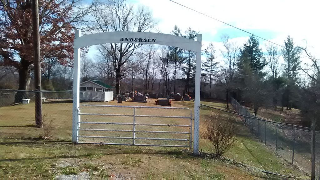
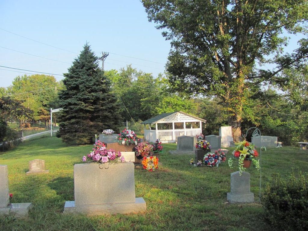
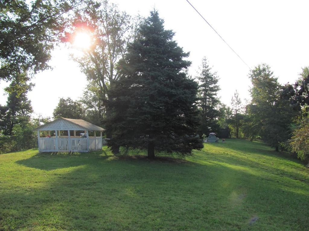
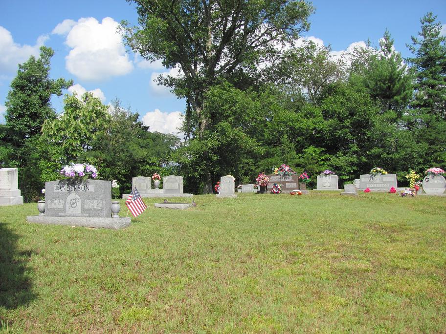
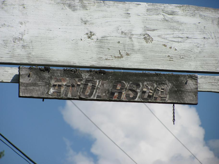
| Description | : | The Anderson Cemetery begun on 25 December 1915 when Luke Anderson was buried there. Directions In The Pine Knot area,go to the Large silver overpass bridge in Pine Knot and go towards Scott County TN.About a mile or so,there will be a left turn off the main highway to old 27 highway.You can see an old worn wooden type building from the road before you turn,that is a store called Bobby Duncan's(anyone in the area can tell you how to find the store)the cemetery is on that road abt a mile & 1/2 on the left,it is a narrow gravel road that... Read More |
frequently asked questions (FAQ):
-
Where is Anderson Cemetery?
Anderson Cemetery is located at Pine Knot, McCreary County ,Kentucky , 42635USA.
-
Anderson Cemetery cemetery's updated grave count on graveviews.com?
0 memorials
-
Where are the coordinates of the Anderson Cemetery?
Latitude: 36.6186110
Longitude: -84.4352780
Nearby Cemetories:
1. Jones Cemetery
Silerville, McCreary County, USA
Coordinate: 36.6161003, -84.4143982
2. Josh Wilson Cemetery
McCreary County, USA
Coordinate: 36.6265678, -84.4596939
3. Alexander Cemetery
Pine Knot, McCreary County, USA
Coordinate: 36.6461110, -84.4405560
4. Burl King Cemetery
Pine Knot, McCreary County, USA
Coordinate: 36.6447200, -84.4595800
5. Ryan Cemetery
Pine Knot, McCreary County, USA
Coordinate: 36.6030998, -84.3977966
6. Kidd Cemetery
Pine Knot, McCreary County, USA
Coordinate: 36.6535960, -84.4295460
7. Upper Cal Hill Cemetery
Pine Knot, McCreary County, USA
Coordinate: 36.6495590, -84.4008450
8. Smith Cemetery
McCreary County, USA
Coordinate: 36.6513820, -84.4703630
9. Cat Hill Cemetery
Pine Knot, McCreary County, USA
Coordinate: 36.6472015, -84.3914032
10. Lower Cal Hill Cemetery
Pine Knot, McCreary County, USA
Coordinate: 36.6471800, -84.3909770
11. Musgrove Cemetery
Pine Knot, McCreary County, USA
Coordinate: 36.6641502, -84.4223785
12. Crabtree Cemetery
Revelo, McCreary County, USA
Coordinate: 36.6658330, -84.4338890
13. Pine Knot Memorial Garden
Pine Knot, McCreary County, USA
Coordinate: 36.6650000, -84.4475000
14. Pine Knot Cemetery
Pine Knot, McCreary County, USA
Coordinate: 36.6650009, -84.4475021
15. Neal Cemetery
McCreary County, USA
Coordinate: 36.6405020, -84.3827090
16. Duncan Cemetery
Scott County, USA
Coordinate: 36.5736008, -84.4085999
17. Duncan Cemetery
Helenwood, Scott County, USA
Coordinate: 36.5732994, -84.4083023
18. East Pine Knot Memorial Gardens
Pine Knot, McCreary County, USA
Coordinate: 36.6687700, -84.3972450
19. Chitwood Cemetery
Pine Knot, McCreary County, USA
Coordinate: 36.6691370, -84.3979970
20. Wood Cemetery
Pine Knot, McCreary County, USA
Coordinate: 36.6688100, -84.3972390
21. Stephens Cemetery
Pine Knot, McCreary County, USA
Coordinate: 36.6731811, -84.4061634
22. Moore Family Cemetery
Pine Knot, McCreary County, USA
Coordinate: 36.6648100, -84.3884400
23. Davis Cemetery
Pine Knot, McCreary County, USA
Coordinate: 36.6444440, -84.3683330
24. Jacob Troxel Cemetery
McCreary County, USA
Coordinate: 36.6343994, -84.5077972