
| Memorials | : | 0 |
| Location | : | Cedar County, USA |
| Coordinate | : | 37.8364630, -93.8516950 |
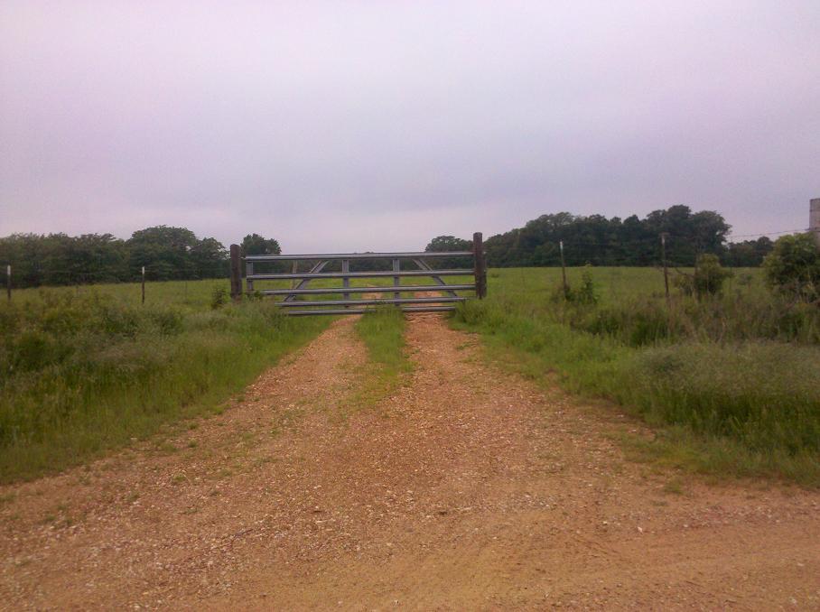
| Description | : | This cemetery is on personal property with a locked gate, you need permission to go onto the property. There are only 2 people buried here that is known, this cemetery is in a wooded area and is not cared for. It sits west off road 1201. Go north on farm road 1201 from 39 hwy 1.1 mile on the right side you should see a gate, the cemetery is aprox. 500-750 feet off farm road 1201. It is the first gate on the west side of farm road 1201 past farm road 400. |
frequently asked questions (FAQ):
-
Where is Burns Cemetery?
Burns Cemetery is located at Cedar County ,Missouri ,USA.
-
Burns Cemetery cemetery's updated grave count on graveviews.com?
0 memorials
-
Where are the coordinates of the Burns Cemetery?
Latitude: 37.8364630
Longitude: -93.8516950
Nearby Cemetories:
1. Hackleman Cemetery
Cedar County, USA
Coordinate: 37.8121986, -93.8602982
2. Herriman Chapel Cemetery
Cedar County, USA
Coordinate: 37.8544617, -93.8845062
3. Tennessee Chapel Cemetery
Cedar County, USA
Coordinate: 37.8394012, -93.8961029
4. Preston Cemetery
Caplinger Mills, Cedar County, USA
Coordinate: 37.8342018, -93.8035965
5. Eslinger Cemetery
Cedar Springs, Cedar County, USA
Coordinate: 37.8630981, -93.8897018
6. Cedar Springs Amish Mennonite Cemetery
Cedar Springs, Cedar County, USA
Coordinate: 37.8670700, -93.8943700
7. Mound Cemetery
El Dorado Springs, Cedar County, USA
Coordinate: 37.8816299, -93.8614743
8. Love Cemetery
Cedar Springs, Cedar County, USA
Coordinate: 37.8819008, -93.8613968
9. Caplinger Mills Cemetery
Caplinger Mills, Cedar County, USA
Coordinate: 37.7939987, -93.8040009
10. Fraley Cemetery
St. Clair County, USA
Coordinate: 37.8974991, -93.8728027
11. Preston Cemetery
Cedar County, USA
Coordinate: 37.8849983, -93.9060974
12. Seat Cemetery
St. Clair County, USA
Coordinate: 37.8830986, -93.7885971
13. Lebeck Cemetery
Cedar County, USA
Coordinate: 37.8890600, -93.9149200
14. Moore Cemetery
St. Clair County, USA
Coordinate: 37.8381004, -93.7585983
15. Hazel Dell Cemetery
El Dorado Springs, Cedar County, USA
Coordinate: 37.8243294, -93.9466095
16. Coal Hill Cemetery
El Dorado Springs, Cedar County, USA
Coordinate: 37.8778801, -93.9361801
17. Mound-Mann Cemetery
Filley, Cedar County, USA
Coordinate: 37.7803001, -93.9225006
18. Parker Cemetery
Cedar County, USA
Coordinate: 37.7564011, -93.8050003
19. Malcolm Cemetery
Cedar County, USA
Coordinate: 37.7686005, -93.9317017
20. Norris Cemetery
St. Clair County, USA
Coordinate: 37.8992004, -93.7600021
21. Pankey Cemetery
Stockton, Cedar County, USA
Coordinate: 37.7378006, -93.8274994
22. Culbartson Cemetery
St. Clair County, USA
Coordinate: 37.9310989, -93.8080978
23. Old Union Cemetery
Caplinger Mills, Cedar County, USA
Coordinate: 37.7626419, -93.7648621
24. Pleasant Ridge Cemetery
Cedar County, USA
Coordinate: 37.8147011, -93.9822006