
| Memorials | : | 7 |
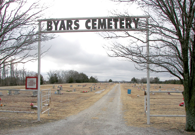
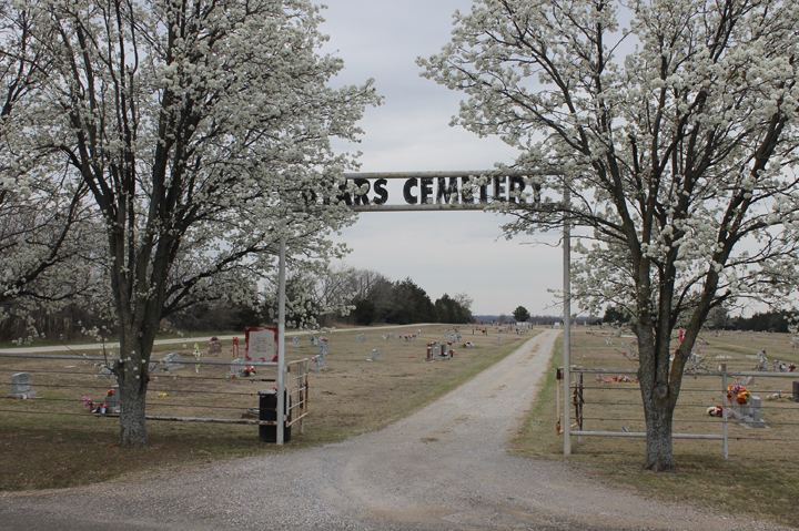
| Location | : | Byars, McClain County, USA |
| Coordinate | : | 34.8675003, -97.0363998 |
| Description | : | From Interstate 35 , East on Highway 59 approximately 17 Miles to Byars, Ok. Then South on 3rd. Street for five (5) blocks to end of street, then east past Byars School for approximately 1/2 mile. It is on south side of street. |
frequently asked questions (FAQ):
-
Where is Byars Cemetery?
Byars Cemetery is located at Byars, McClain County ,Oklahoma ,USA.
-
Byars Cemetery cemetery's updated grave count on graveviews.com?
7 memorials
-
Where are the coordinates of the Byars Cemetery?
Latitude: 34.8675003
Longitude: -97.0363998
Nearby Cemetories:
1. New Johnsonville Cemetery
Byars, McClain County, USA
Coordinate: 34.8908005, -97.0449982
2. Dixon Chapel Cemetery
Stratford, Garvin County, USA
Coordinate: 34.8405100, -97.0579500
3. Old Johnsonville Cemetery
Johnsonville, McClain County, USA
Coordinate: 34.8986893, -97.0475082
4. Lizzie Keel Cemetery
Stratford, Garvin County, USA
Coordinate: 34.7922400, -97.0128800
5. McGee Cemetery
Stratford, Garvin County, USA
Coordinate: 34.8256200, -96.9545100
6. Abney Cemetery
Garvin County, USA
Coordinate: 34.7821999, -97.0243988
7. Civit Cemetery
Garvin County, USA
Coordinate: 34.7991982, -97.1138992
8. Fort Family Cemetery
McClain County, USA
Coordinate: 34.8697014, -97.1596985
9. Blue Branch Cemetery
Rosedale, McClain County, USA
Coordinate: 34.8841120, -97.1591230
10. Wanette Cemetery
Wanette, Pottawatomie County, USA
Coordinate: 34.9719009, -97.0196991
11. Rosedale Cemetery
Rosedale, McClain County, USA
Coordinate: 34.9063988, -97.1624985
12. Clabber Flats Cemetery
Garvin County, USA
Coordinate: 34.7556000, -97.0374985
13. Thompson Family Cemetery
Wanette, Pottawatomie County, USA
Coordinate: 34.9799400, -97.0147700
14. Cooke Family Cemetery
Byars, McClain County, USA
Coordinate: 34.9470900, -96.9355000
15. Dobbs Family Cemetery
Asher, Pottawatomie County, USA
Coordinate: 34.9727000, -96.9591000
16. Mount Zion Cemetery
Lexington, Cleveland County, USA
Coordinate: 34.9564018, -97.1493988
17. Sandy Hill Cemetery
Pauls Valley, Garvin County, USA
Coordinate: 34.7397200, -97.0036100
18. Overturf Family Cemetery
Asher, Pottawatomie County, USA
Coordinate: 34.9934000, -96.9840000
19. Box Cemetery
Cleveland County, USA
Coordinate: 34.9707985, -97.1417007
20. Martin Hill Cemetery
Pottawatomie County, USA
Coordinate: 34.9996986, -97.1141968
21. Lewis Cemetery
Pauls Valley, Garvin County, USA
Coordinate: 34.7243996, -97.0792007
22. Saint Gregory Cemetery
Trousdale, Pottawatomie County, USA
Coordinate: 35.0172220, -97.0718800
23. Corley Cemetery
Stratford, Garvin County, USA
Coordinate: 34.7233009, -96.9666977
24. Rose Cemetery
Lexington, Cleveland County, USA
Coordinate: 34.9947770, -97.1607283