
| Memorials | : | 0 |
| Location | : | Rosedale, McClain County, USA |
| Coordinate | : | 34.8841120, -97.1591230 |
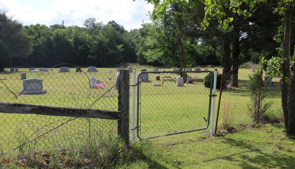
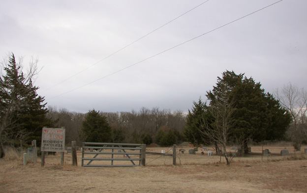
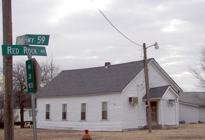
| Description | : | Located at the intersection of Hwy 59 and County Rd. N3280(or Red Rock Road). |
frequently asked questions (FAQ):
-
Where is Blue Branch Cemetery?
Blue Branch Cemetery is located at Rosedale, McClain County ,Oklahoma ,USA.
-
Blue Branch Cemetery cemetery's updated grave count on graveviews.com?
0 memorials
-
Where are the coordinates of the Blue Branch Cemetery?
Latitude: 34.8841120
Longitude: -97.1591230
Nearby Cemetories:
1. Fort Family Cemetery
McClain County, USA
Coordinate: 34.8697014, -97.1596985
2. Rosedale Cemetery
Rosedale, McClain County, USA
Coordinate: 34.9063988, -97.1624985
3. Mount Zion Cemetery
Lexington, Cleveland County, USA
Coordinate: 34.9564018, -97.1493988
4. Box Cemetery
Cleveland County, USA
Coordinate: 34.9707985, -97.1417007
5. Civit Cemetery
Garvin County, USA
Coordinate: 34.7991982, -97.1138992
6. Old Johnsonville Cemetery
Johnsonville, McClain County, USA
Coordinate: 34.8986893, -97.0475082
7. Dixon Chapel Cemetery
Stratford, Garvin County, USA
Coordinate: 34.8405100, -97.0579500
8. New Johnsonville Cemetery
Byars, McClain County, USA
Coordinate: 34.8908005, -97.0449982
9. Paoli Cemetery
Paoli, Garvin County, USA
Coordinate: 34.8231010, -97.2463989
10. Dulin Family Cemetery
Garvin County, USA
Coordinate: 34.8275700, -97.2561700
11. Byars Cemetery
Byars, McClain County, USA
Coordinate: 34.8675003, -97.0363998
12. Corbett Cemetery
Cleveland County, USA
Coordinate: 34.9756330, -97.2303600
13. Hopping Cemetery
Hopping Township, McClain County, USA
Coordinate: 34.9202500, -97.2839700
14. Rose Cemetery
Lexington, Cleveland County, USA
Coordinate: 34.9947770, -97.1607283
15. Martin Hill Cemetery
Pottawatomie County, USA
Coordinate: 34.9996986, -97.1141968
16. Holsonbake Cemetery
Cleveland County, USA
Coordinate: 34.9707985, -97.2652969
17. Wanette Cemetery
Wanette, Pottawatomie County, USA
Coordinate: 34.9719009, -97.0196991
18. Chappel Hill Cemetery
Cleveland County, USA
Coordinate: 35.0300950, -97.1596140
19. Abney Cemetery
Garvin County, USA
Coordinate: 34.7821999, -97.0243988
20. Saint Gregory Cemetery
Trousdale, Pottawatomie County, USA
Coordinate: 35.0172220, -97.0718800
21. Lizzie Keel Cemetery
Stratford, Garvin County, USA
Coordinate: 34.7922400, -97.0128800
22. Thompson Family Cemetery
Wanette, Pottawatomie County, USA
Coordinate: 34.9799400, -97.0147700
23. Whitebead Cemetery
Pauls Valley, Garvin County, USA
Coordinate: 34.7700005, -97.2902985
24. Florence Cemetery
Garvin County, USA
Coordinate: 34.7919006, -97.3153000