| Memorials | : | 0 |
| Location | : | Arlington, Arlington County, USA |
| Coordinate | : | 38.8960890, -77.1292270 |
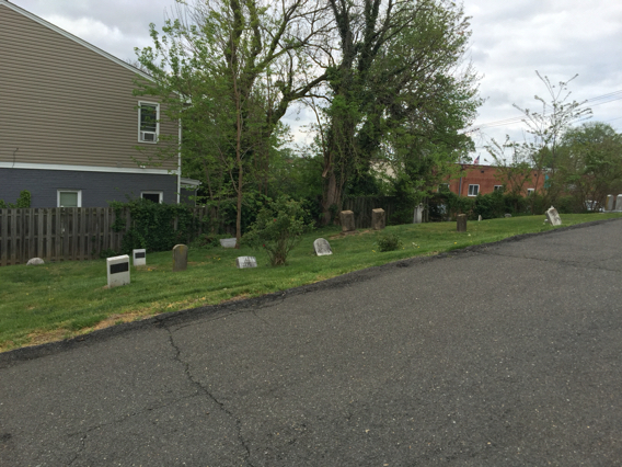
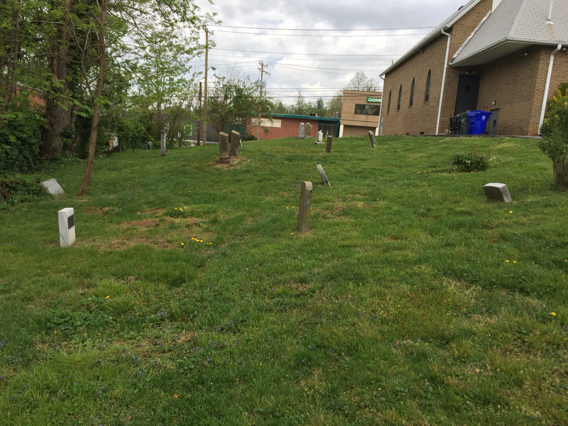
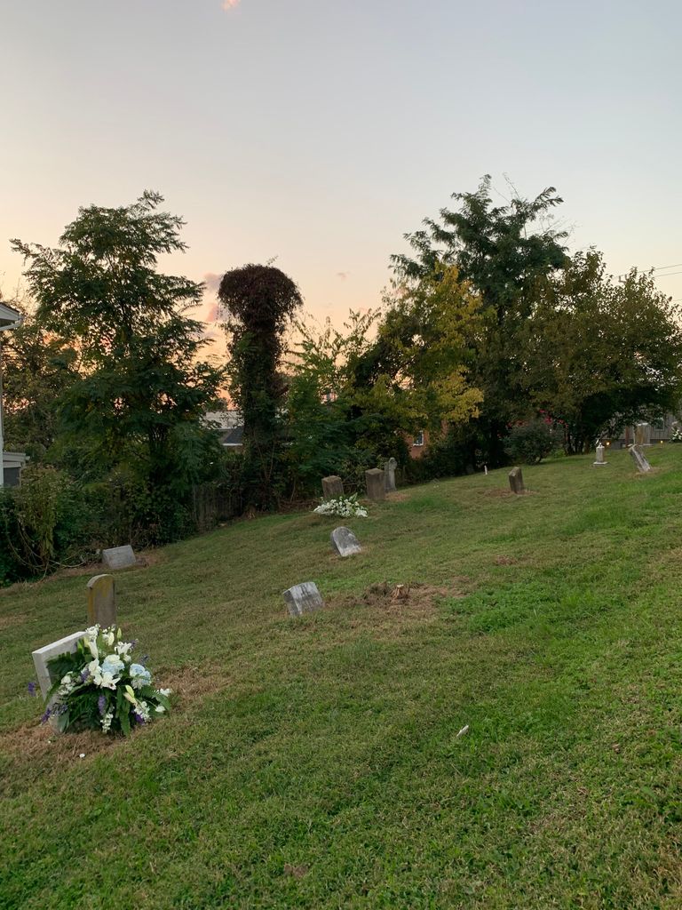
| Description | : | The cemetery is located by the intersection of Rt 29 Lee Hwy & Edison St. in Arlington, VA. It is between N. Glebe & George Mason. 5000 Lee Highway, Arlington, VA Calloway United Methodist Church was established in 1866 by freed slaves, some of whom bought land from plantation owners William Marcey and Bazil Hall, for whom they had worked. Its members formed the stable, tight-knit community called Highview Park/Hall's Hill. Methodist Episcopal Church 1904 Calloway U.M. Church 1940 Remodeling done 1979 Historic Notes: No records of burials in the church office, but the church's cemetery committee is working... Read More |
frequently asked questions (FAQ):
-
Where is Calloway Cemetery?
Calloway Cemetery is located at 5000 Lee Highway Arlington, Arlington County ,Virginia , 22207USA.
-
Calloway Cemetery cemetery's updated grave count on graveviews.com?
0 memorials
-
Where are the coordinates of the Calloway Cemetery?
Latitude: 38.8960890
Longitude: -77.1292270
Nearby Cemetories:
1. Mount Salvation Baptist Church
Halls Hill, Arlington County, USA
Coordinate: 38.8945710, -77.1255320
2. Saint Mary's Episcopal Church Columbarium
Arlington, Arlington County, USA
Coordinate: 38.9032740, -77.1277760
3. Mount Olivet Methodist Church Cemetery
Arlington, Arlington County, USA
Coordinate: 38.8891400, -77.1196000
4. Rock Spring Congregational Church Memorial Garden
Arlington, Arlington County, USA
Coordinate: 38.9074840, -77.1378190
5. Saint Michael’s Episcopal Church Columbarium
Arlington County, USA
Coordinate: 38.8824060, -77.1322790
6. Southern - Shreve Cemetery
Arlington County, USA
Coordinate: 38.8801080, -77.1278420
7. Saint Andrews Episcopal Church Memorial Garden
Arlington, Arlington County, USA
Coordinate: 38.9022380, -77.1097260
8. Church of the Covenant Memorial Garden
Arlington, Arlington County, USA
Coordinate: 38.9081940, -77.1121820
9. Little Falls Presbyterian Church Memorial Garden
Arlington, Arlington County, USA
Coordinate: 38.9010860, -77.1533130
10. Robert Ball Family Graveyard
Arlington, Arlington County, USA
Coordinate: 38.8825380, -77.1105760
11. Birch-Payne Cemetery
Arlington, Arlington County, USA
Coordinate: 38.8974047, -77.1568720
12. Ball Family Cemetery
Arlington, Arlington County, USA
Coordinate: 38.8866270, -77.1016140
13. Saint Thomas More Cathedral
Arlington, Arlington County, USA
Coordinate: 38.8808300, -77.1041700
14. Saint Charles School Cemetery
Arlington County, USA
Coordinate: 38.8852997, -77.0999985
15. Walker Chapel United Methodist Church Cemetery
Arlington, Arlington County, USA
Coordinate: 38.9218670, -77.1281800
16. Oakwood Cemetery
Falls Church, Falls Church City, USA
Coordinate: 38.8753014, -77.1572037
17. Columbia Gardens Cemetery
Arlington, Arlington County, USA
Coordinate: 38.8744011, -77.0994034
18. First Baptist Church Chesterbrook Cemetery
Fairfax County, USA
Coordinate: 38.9207001, -77.1553116
19. Saint Dunstans Episcopal Church
McLean, Fairfax County, USA
Coordinate: 38.9173164, -77.1600723
20. The Memorial Garden Dulin United Methodist Church
Falls Church, Falls Church City, USA
Coordinate: 38.8776760, -77.1637050
21. Ball-Carlin Family Cemetery
Arlington, Arlington County, USA
Coordinate: 38.8634580, -77.1259100
22. Saint Patrick Episcopal Church Columbarium
Foxhall Village, District of Columbia, USA
Coordinate: 38.9161130, -77.0912030
23. Union Burial Society of Georgetown Cemetery
Foxhall Village, District of Columbia, USA
Coordinate: 38.9231950, -77.0982780
24. Falls Church Episcopal Church Cemetery
Falls Church, Falls Church City, USA
Coordinate: 38.8807716, -77.1716614


